ArcGIS Solutions align with your business needs, transform your use of ArcGIS, and help you maximize the investment you are making in location-based data and technology.
The primary focus of the July release is support for ArcGIS Pro 3.0 and Enterprise 11. But you will also find this release includes the new Fire Accreditation Analysis solution and many enhancements to existing solutions across the industries we support.
New ArcGIS Solutions
Here is a quick summary of what’s new in the July release:
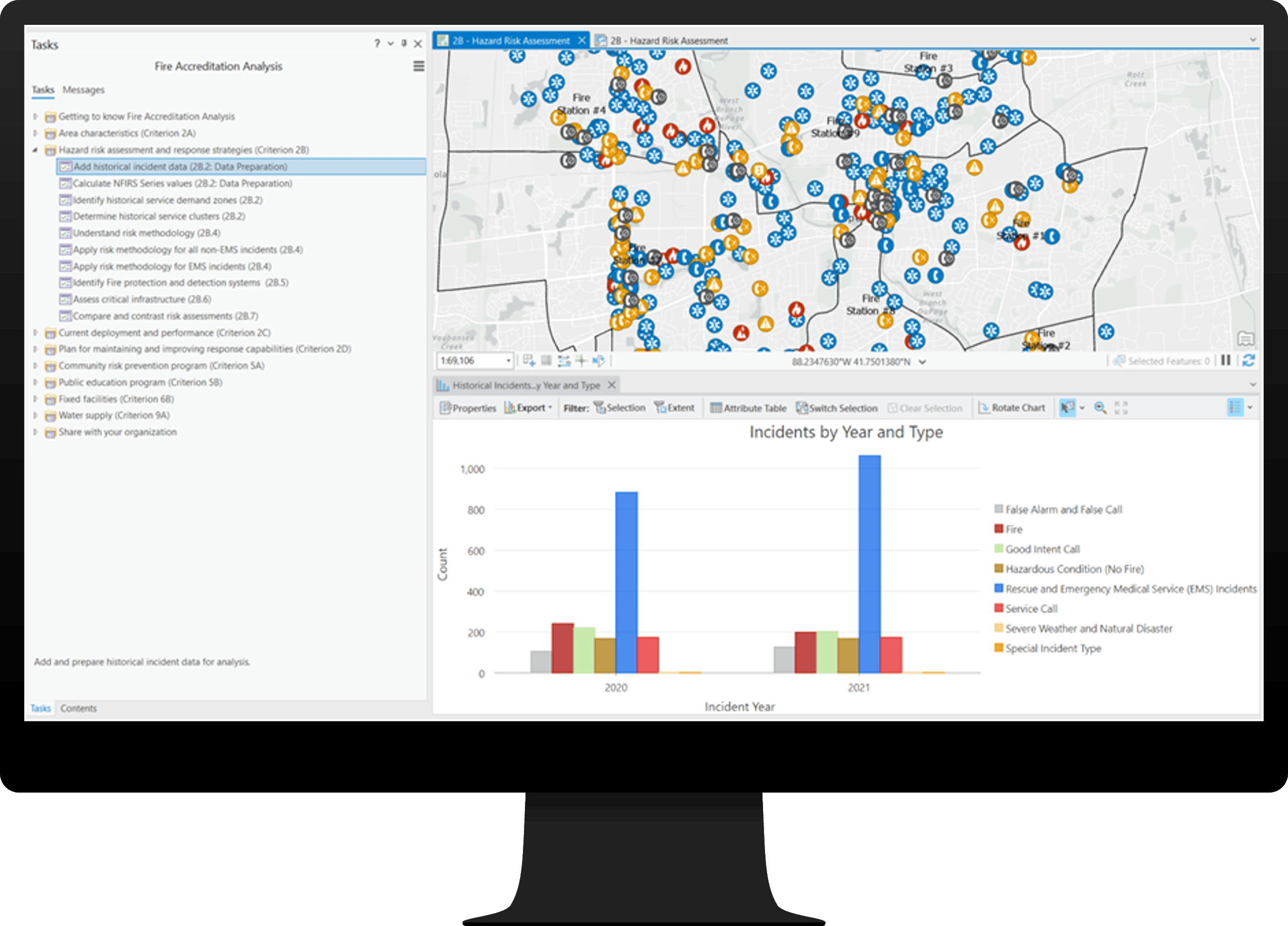
Fire Accreditation Analysis can be used to complete spatial analysis workflows and generate maps based on the Commission on Fire Accreditation International (CFAI) Accreditation Model Information Technology Specifications.
Enhanced ArcGIS Solutions
Here is a quick summary of the solutions that have been enhanced in the July release:
3D Basemaps can be used to author and maintain a 3D basemap for your organization.
Crime Analysis can be used to enhance public safety, identify emerging trends, organize law enforcement operations and plan crime-prevention strategies.

Communications Utility Network Foundation
Communications Utility Network Foundation can be used to accelerate coax, copper, fiber, and wireless communication utility network implementations.
Development Impact Analysis can be used to evaluate proposed developments and assess their impact on solar radiation, shadows, and viewsheds in a community.
Electric Utility Network Foundation
Electric Utility Network Foundation can be used to accelerate electric utility network implementations.
Flood Impact Analysis can be used to develop localized flooding scenarios and visualize the impact of flooding on public infrastructure, critical facilities, and vulnerable populations.
Network Path Planner can be used to plan fronthaul routes to wireless equipment such as 5G sites, backhaul routes from wireless towers, and plan routes to residential neighborhoods or business locations.

Tree Management can be used to inventory publicly owned trees, streamline inspection and maintenance activities, understand conditions, cultivate a volunteer workforce, and inform the public.

Finally, learn more about other general improvements, lifecycle changes and issues that have also been addressed in this release.


Article Discussion: