We’re just a few weeks away from 2020 virtual Esri User Conference (#EsriUC), the world’s largest GIS conference, July 13-16. We’re excited to announce that EVERYONE is invited to join the plenary session, and that participation in the entire conference is FREE for Esri customers!
Join us to take advantage of an interactive, online experience with Esri and the GIS community. Participate in sessions and view presentations that offer geospatial solutions, network with exhibitors, browse the online Map Gallery, watch the Plenary, technical sessions, and much more.
Expo: Exhibit & Esri Showcase
Don’t miss the expo at this year’s virtual #EsriUC featuring innovative partner exhibits and focused Esri Showcase’s that align to your needs. While you can visit the expo anytime throughout the experience, dedicated times to connect directly with experts are available.
Expo Hours (Pacific Time):
- Monday July 13, 12:15 pm – 4:00 pm PT
- Tuesday July 14, 7:30 am – 9:40 am PT
- Tuesday July 14, 11:10am – 3:50 pm PT
- Wednesday July 15, 7:30 am – 9:40 am PT
- Wednesday July 15, 11:10 am – 3:50 pm PT
Exhibit
Engage with exhibitors within the expo (event platform access) . Connect virtually with a diverse array of global Esri partners, including startups at the forefront of geospatial technology. Discover GIS-powered products Interact with company experts for 1:1 questions, resources, and demos by leading entrepreneurs.
Meet Startup Partners Exhibiting at Esri UC:
Today, startups do more than influence mainstream culture–they also change the way our organizations operate. With intense pressure on organizations to innovate and do more with less, Esri startup partners are delivering powerful enterprise ready solutions that help Esri customers gain even more value from their investments.
Addressing a broad spectrum of industries, Esri Startup Program companies are driving innovation across a wide array of themes including, augmented reality (AR), real-time analytics, machine learning (ML), big data, IoT, mobile, and more.
| Company | Description | Industry Focus |
| Airspace Link | Drone Highways in the Sky: Provides Drone Management Solutions for Drone Companies, FAA, State and Local Governments. | Public Sector/ Government, Commercial, Aviation |
| BuildingFootprintUSA | BuildingFootprintUSA develops next-generation geolocation data centered on the built environment – where people live/work/ shop/play. | Public Sector/ Government, Utilities/Telecom, Insurance |
| Ecobot | Ecobot is the only software to bring true efficiency and accuracy to professional wetland scientists and consultants. | AEC, Natural Resources, Conservation, Public Sector/ Government |
| Epistemix | Epistemix draws on expertise in epidemiology, clinical practice, and computer science to understand and represent how epidemics spread. | Health & Human Services, Public Sector/ Government |
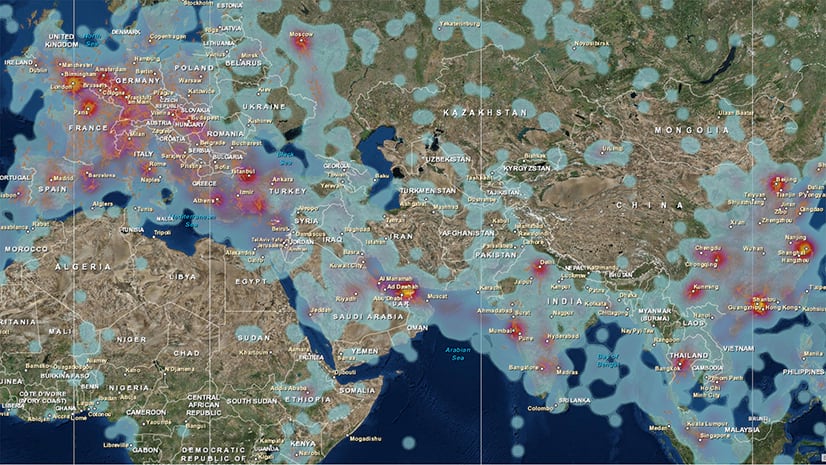
| Factal | Factal provides real-time, verified, and geolocated breaking news about critical incidents worldwide, such as COVID-19, social unrest, and severe weather. | Commercial, Corporate Security, Public Safety |
| iSpatial Techno Solutions | iSpatialTec provides smart solutions in the area of Location-based GIS Web/Mobility solutions, Business Analytics, GeoAI, Enterprise System Integrations. | Utilities/Telecom, Public Sector/ Government |
| Moove.ai | RoadIQ insights on improving road safety by uniquely integrating large, diverse and complex road-datasets into road intelligence machine learning (ML) platform Galileo. | Transportation, Public Sector/ Government, Commercial |
| Overlay | Precision augmented reality (AR) for GIS data collection, automated topographic drawing creation, and model visualization. | Utilities/Telecom, AEC, Public Sector/ Government |
| vGIS Inc | Leading augmented reality (AR) system for BIM and GIS integrated with Esri’s ArcGIS Platform. | Utilities/Telecom, AEC, Public Sector/ Government, Natural Resources |
Startup Demos & Talks
Take advantage of unique demos from startups and alliance partners showcasing their groundbreaking applications and offerings. Search the event platform to watch these inspiring on-demand sessions at your convenience.
| Session | Description | Presenter |
| Building, Supporting and Using Drone Highways in Your Community | See how Airspace Link’s AirHub platform is supporting the explosive growth of drones in the national airspace. Demonstrations include AirHub for Government, AirHub for Pilots, and AirHub for Business. See how to leverage your existing Esri investment to build, support and use drone highways within your community. The AirHub for Pilots is approved by the Federal Aviation Administration (FAA) as a service provider of Low Altitude Authorization and Notification Capability. | Airspace Link |
| New Techniques for Efficient Wetland Delineations | Ecobot is the champion of the environmental consultant, eliminating complexity and enabling greater scientific accuracy. Unlike paper field notes or any other mobile apps, Ecobot helps customers complete regulatory work twice as fast. Built for AEC and Environmental firms, Ecobot provides a better way to complete wetland determinations via swifter field data collection, contextual lookups, automated calculations, effortless generation of reports, and ArcGIS mapping and modeling capabilities. | Ecobot |
| BRAEIN: The Science of Intelligence by iSpatialTec | BrAeIn by iSpatialTec: A smart artificial intelligence (AI), IoT, and location intelligence (GIS) solution, that creates intelligent live monitoring and voice-activated dashboards, provides predictive analytics based on the deep learning algorithms and define data patterns. BrAeIn provides many benefits including improving efficiency, safety, productivity monitoring, performance diagnostics, regulatory compliance for utilities, energy, transportation, local government, and agriculture. | iSpatial Techno Solutions |
| Take GIS Data to the Next Level with Augmented Reality (AR) | Advancements in technology have opened new avenues for applying GIS-powered Augmented Reality (AR) in places where it wasn’t possible before. Different areas such GIS, 3D mapping, reality capture have merged into unified productivity applications that will impact how AEC companies, municipalities, public utilities service providers implement project planning and fieldwork for construction, maintenance, repair and infrastructure. Review the latest in AR visualizations and the opportunities it presents to leverage current GIS systems investments and prepare for future enhancements. Explore disparate technologies that can contribute to the unified asset management solution. Using vGIS, the resulting system combines object holograms with object-specific data information to help field technicians understand the infrastructure they need to service while on-site and connected to their peers and colleagues. | vGIS Inc |
| Startups and the Public Sector: The Market to Accelerate Growth | Startups are driving innovation in the public sector around the globe. Understand first-hand how public sector organizations are using startup technologies to enable economic growth, sustained national security, and breakthroughs in medicine and how Amazon Web Services (AWS) can help. | Amazon Web Services (AWS) |
Esri Showcase
Within the virtual expo you’ll find the Esri Showcase featuring focused Esri programs, industry, and product showcase areas. Access resources and hear how the latest technology will transform your GIS workflows and help you overcome challenges.
Partnering with Esri & Startup Program Showcase
In the event platform, don’t miss ‘Partnering with Esri Showcase‘ showcase and supporting listings, like Esri Startup Program Subtopic! Get support as an existing partner or learn about programs within the Esri Partner Network (EPN), including the Startup Program, an exclusive global program designed to accelerate early-stage, B2B/B2G product-centric emerging businesses by keeping cost under control and ensuring you scale quickly.
- Ask an Esri Expert No appointment necessary. You’ve got questions, about partnering with Esri, programs, the Esri Startup and & EPN team will be there to provide the answers.
- Discover Partner Offerings: Discover leading partner companies, providing focused solutions and services built to help you meet your mission and save resources.
Start Planning Your Visit:
View the agenda and exhibitor list to start planning your experience. Check out focused UC Guides compiling industry specific activities to help plan your experience.
Don’t miss the world’s premier GIS event, register today.
We hope to you there!


Article Discussion: