The 2020 Esri User Conference videos described below are now available. Please note that UC registration is not required to watch the sessions, but you’ll need to fill out a short form to access the videos.
Come learn more about real-time GIS at the virtual 2020 Esri User Conference from July 13 to 16! Make sure to register for the event so you have access to the plenary, online showcase, and more. The full agenda is available here. Please note all times are PDT.

Join these live technical workshops to learn more about ArcGIS Velocity and ArcGIS GeoEvent Server.
Real-Time Across the ArcGIS Platform
Monday, July 13, 2:50 pm to 3:50 pm
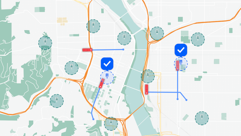
Real-time data comes from a diverse array of systems from devices and sensors to IoT platforms and more. To work effectively with this data requires ingestion, visualization, streaming and recurring analytics, and alerting and action. ArcGIS GeoEvent Server and ArcGIS Velocity enable these capabilities in ArcGIS, via on-premises and SaaS options. Join this session to understand which approach best suits different use cases.
ArcGIS Velocity: An Introduction
Tuesday, July 14, 8:40 am to 9:40 am
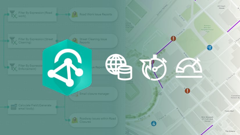
ArcGIS Velocity is a new real-time and big data processing and analysis capability in ArcGIS Online. Topics covered include connecting to any type of streaming data, performing real-time analytics and processing on the streaming data, and automatically disseminating information and alerting personnel when specific conditions occur. Learn how to design the analytic models to process high-volume historical data in order to understand patterns and anomalies in your big data.
ArcGIS GeoEvent Server: Leveraging Real-Time GIS
Wednesday, July 15, 8:40 am to 9:40 am
ArcGIS GeoEvent Server provides real-time visualization and analytics capabilities in ArcGIS Enterprise, the foundational GIS platform. GeoEvent Server enables organizations to connect with many types of data to get insights and inform decisions. Learn how you can incorporate real-time data feeds with your existing GIS data and IT infrastructure to continuously process and analyze streaming data. Get a sneak peek into new and exciting user experience improvements coming in the 10.8.1 release.
You can also join the virtual expo and come to the Real-Time Visualization and Analytics showcase area to meet the team to ask your burning questions on real-time GIS. Here are the hours in PDT.
Monday, July 13, 12:15 pm to 4:00 pm
Tuesday, July 14, 7:30 am to 9:40 am
Tuesday, July 14, 11:10 am to 3:50 pm
Wednesday, July 15, 7:30 am to 9:40 am
Wednesday, July 15, 11:10 am to 3:50 pm
We look forward to meeting you in this year’s virtual UC!


Article Discussion: