Happy new year! Our development team has been hard at work, and we have just released the newest version of ArcGIS Drone2Map. This blog post provides a sampling of just some of the most important enhancements and additions in the newest version. If you would like to see a complete list of everything new or improved in this version, see the help documentation.
New Product Types
True Orthos Available with Standard or Advanced license
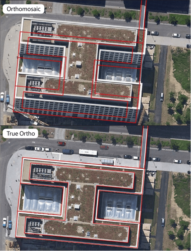
Orthomosaics are now called true orthos for RGB datasets. True orthos are now available when using either the Standard or Advanced license—previously not accessible using the Standard license. True orthos provide a true vertical view of everything within your project area, meaning that it shows everything in the proper horizontal position—in particular, any aboveground objects such as building rooftops.
An example of a true ortho is shown directly below, in the lower of the two images. The top image shows an area from an orthomosaic created by traditional methods, resulting in horizontal layover of the building, and making it appear to lean away from the camera, with building facades visible. The red lines show the actual location for the building footprint—and in the bottom image you can see the excellent alignment between the building footprint polygon and the image after processing, creating a true ortho (building facades are no longer shown).
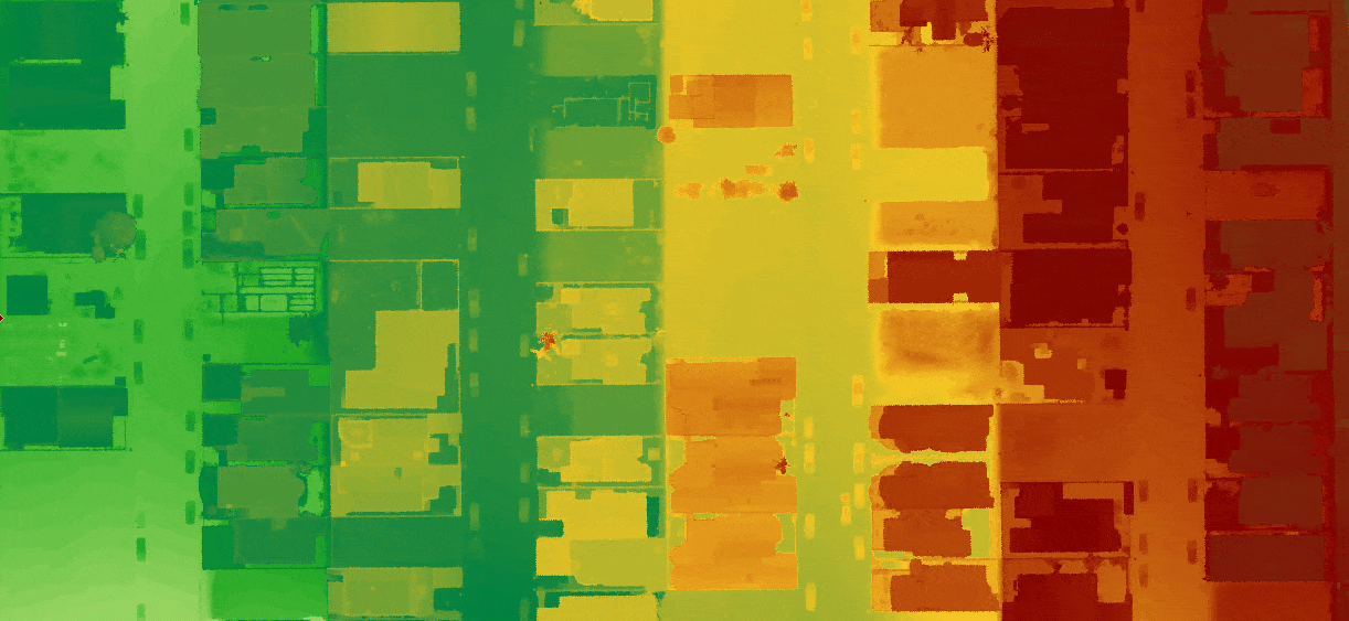
Hillshade for Digital Elevation Models (DEM)
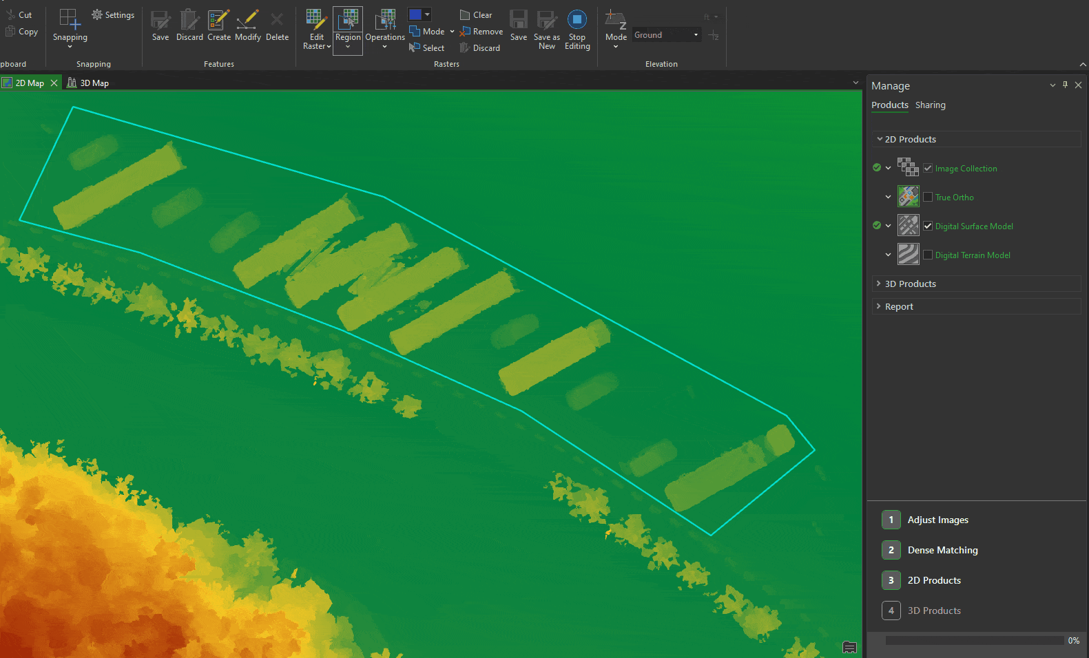
The digital surface model (DSM) and digital terrain model (DTM), rendered as hillshade, are now available as output data products and can be shared as hosted layers. These outputs can be very useful for presentation or analysis.
Additional Products
For organizations supporting mobile workers, imagery tile packages can now be created from 2D products so that they can be used in other desktop applications or copied onto mobile devices for use in mobile apps.
In addition, there are two new 3D product output types:
- A single file OBJ product is now created by default, making these models easier to use in third-party software.
- A new 3D mesh format has been added in the form of the 3D tiles.
Improved True Ortho Quality
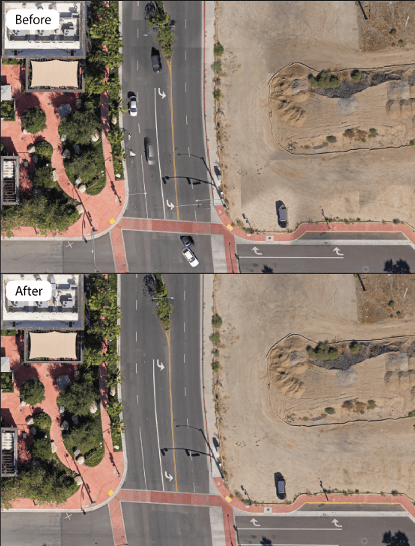
Color Balancing
Improvements have been made to color balancing when generating true ortho products. True orthos produced will appear more natural, with dramatic improvements in the tonal uniformity between adjacent images.
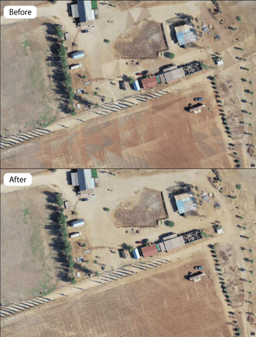
Artifact Removal
Artifacts from moving objects (cars, trains, etc.), reflections, and suboptimal lighting conditions have been adjusted to either reduce or remove problematic areas. This results in a cleaner-looking output product without affecting the imagery or elevation surface areas that may be used for analysis.
Drone2Map Project Enhancements
Project size—For organizations that have an Advanced license and are working on large projects, the processing capacity has increased to 300 gigapixels in a single project. This is especially useful for cameras that capture large megapixel images.
Default coordinate system—A default coordinate system can now be defined within the application settings for new projects. This provides the ability to override the current default universal transverse Mercator (UTM) coordinates in favor of a user-specified coordinate system.
Support for image orientation inputs—For drones that report gimbal orientation, the heading, pitch, and roll angles can now be applied when importing your imagery and using the Inspection template. Internally, these are converted to the Omega, Phi, and Kappa values needed for photogrammetric orientation of the imagery.
Improved processing report—The processing report will now show a preview of the true ortho product as soon as the Adjust Images step completes. Residual error summary statistics for Ground Control Points (GCP) have also been updated (see this blog), and the processing report has been optimized to run less often, reducing overall processing times.
Productivity Improvements
The New Project images table is now interactive. You can drag one or more images or folders onto the table, and they will be added to the project. This is especially useful when your images are scattered among multiple folders.
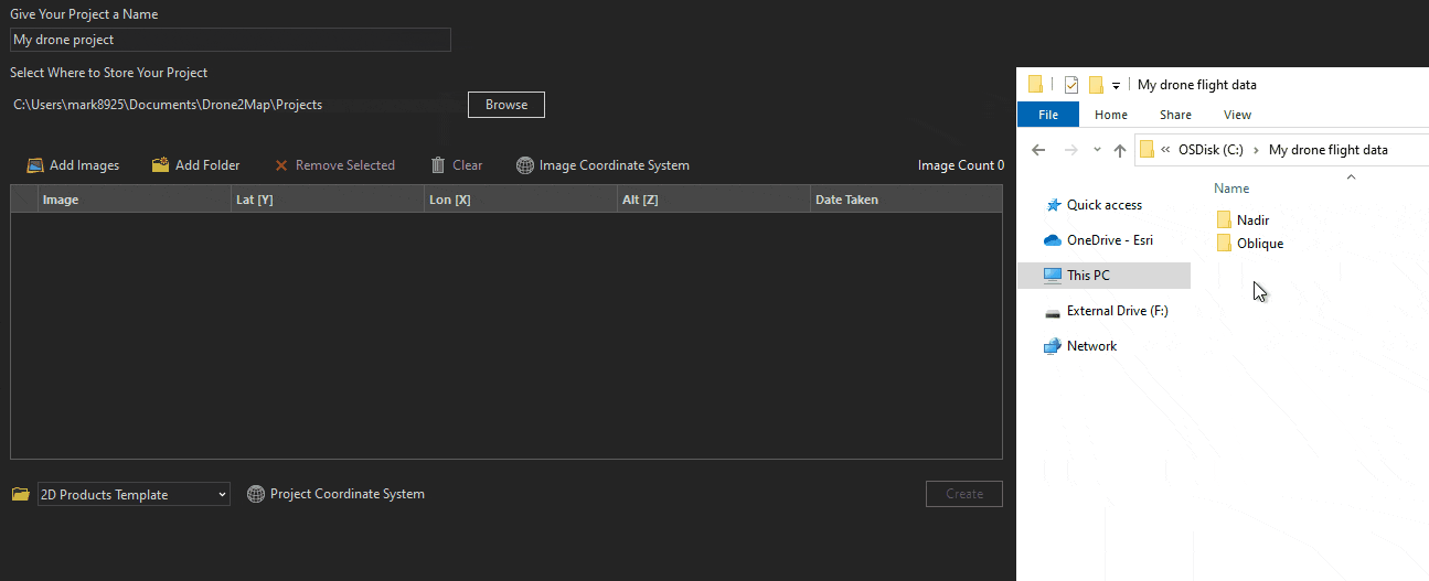
Image and DEM Editing Enhancements
The Orthomosaic editing group is now called Rasters, and it has been redesigned. This allows a better experience for editing true orthos, and edits can now be applied to digital surface models and digital terrain models (Advanced license required).
Enhanced Camera Support
Processing of imagery from multiple cameras in the same project is now supported. This imagery may be from different camera makes and/or models, or from multiple drones (different serial numbers) of the same make and model.
ArcGIS Drone2Map users with an Advanced license can now save camera details in a user camera database. This database will store the camera make, model, serial number, and parameters. Once saved, the camera can be set as the default for future projects where the imagery matches the stored camera details.
Improvements to Sharing
When sharing output products via ArcGIS Online or ArcGIS Enterprise, they can now be configured to use the project coordinate system. This is especially useful for organizations that use basemaps in a different coordinate system than Web Mercator.
Once a layer is finished sharing, it will now display the service URL. This can be clicked to immediately open the item in ArcGIS Online or ArcGIS Enterprise.
Ground control can now be shared as a hosted feature layer. Additionally, image links can be maintained in the shared layer so that they can be imported back into the project if needed.
Stay Connected
If you have any questions or ideas, we’d love to hear from you! Visit the Esri Community page and let us know what you think. If you’d like to stay up-to-date on the latest product news and announcements for Drone2Map, make sure to sign up to be on our email list.

Article Discussion: