
Game engines like Unity and Unreal Engine have revolutionized how we create immersive, photorealistic 3D experiences. Now, imagine combining that visual power with real-world geographic data, including reality capture, to build applications grounded in actual locations, complete with accurate terrain, buildings, and infrastructure.
What Is an SDK and Why It Matters for Developers
Before diving in, let’s clarify what an SDK is. A Software Development Kit (SDK) is a collection of software development tools for building applications. They typically consist of an API, documentation, tools, samples, and integration with your development environment (IDE).
Create immersive Geospatial experiences with Unity and Unreal Engine
What are ArcGIS Maps SDKs for Game Engines?
ArcGIS Maps SDKs for Game Engines are plug-ins that bring real-world geospatial data directly into Unity and Unreal Engine. They provide a geospatial canvas, access to GIS data from ArcGIS services and local packages, open data sources, and APIs to place 3D content in precise geographic context.
Developers can work with a range of 3D layer types, each optimized for displaying real-world data in immersive environments, including 3D object layers, Building layers, Mesh layers, Point cloud layers, and 3D point layers and 3D Tiles Layers. Whether using Esri’s ArcGIS Location Platform (PaaS), ArcGIS Online (SaaS), ArcGIS Enterprise (self-hosted), or local data, workflows remain seamless across online and offline environments.
Where Immersive Visualization Meets Spatial Intelligence
Traditional GIS tools deliver best‑in‑class analytical capabilities, with immersive visualization representing a natural next step to broaden engagement and impact. ArcGIS delivers industry-leading geospatial capabilities, while the immersive visualization capabilities of game engines unlock new ways to explore, understand, and engage with spatial information. ArcGIS Maps SDKs for Game Engines bridge this critical gap.
The result is applications that are both analytically powerful and visually compelling. Stakeholders can truly understand spatial data—whether that’s walking through a proposed development project before it’s built, exploring infrastructure through an interactive digital twin, or training personnel through photorealistic simulations of actual locations. This combination of analysis and immersion enables more informed decision-making and deeper spatial understanding.
Powerful Capabilities for Building Real-World 3D Experiences
With support for a range of high-performance 3D GIS layer types. From flexible development workflows to advanced rendering and spatial analysis, these capabilities transform game engines into powerful platforms for visualizing and analyzing real-world geospatial data.
- Flexible Development Workflows: ArcGIS Maps SDKs for Game Engines accommodate developers at all skill levels. Use low-code UI panels and visual scripting for rapid prototyping, or dive into C++ or C# APIs for advanced customization. Both Unity and Unreal Engine workflows are fully supported.
- Photorealistic Rendering With Real World-Context: Create stunning visualizations by leveraging game engine rendering pipelines. Apply custom shaders, adjust elevation exaggeration to highlight terrain features, and visualize data based on layer attributes. Enhance user engagement by integrating realistic animation and special effects that provide users with a deeper understanding of geospatial context.
- Spacial Analytics: Add spatial intelligence to immersive applications. Use the Geometry Engine for measurements and geometry operations, or connect to ArcGIS services to query feature data, find routes and directions, and geocode addresses.
- Deploy Anywhere: Desktop, Mobile, and XR: Reach users across desktop, mobile, and immersive platforms by deploying to Android, Linux, macOS, iOS, Windows, and XR devices.
What Developers Are Building Today

The versatility of ArcGIS Maps SDKs for Game Engines enables developers to create a wide range of applications that solve real-world problems through immersive visualization and spatial analysis. Here are some key use cases:
- Digital Twins: Create living digital replicas of real-world environments for urban planning, infrastructure management, and facility operations. These comprehensive digital representations support maintenance planning, emergency response coordination, and operational decision-making.
- XR Experiences: Build immersive, augmented and virtual reality applications that blend real-world geography with interactive 3D content. The SDKs support development for mobile platforms, desktop systems, and XR headsets, enabling truly immersive spatial experiences.
- Simulation & Training: Develop realistic training environments for defense, emergency response, and operations planning. By combining photorealistic rendering with accurate geospatial data, these simulations provide effective training platforms grounded in real-world locations.
- Visualization & Analysis: Transform complex spatial data into intuitive 3D visualizations that support decision-making. Whether visualizing proposed developments, analyzing environmental data, or showcasing properties in their geographic context, these applications make spatial information accessible to both technical and non-technical audiences.
ArcGIS Foundations
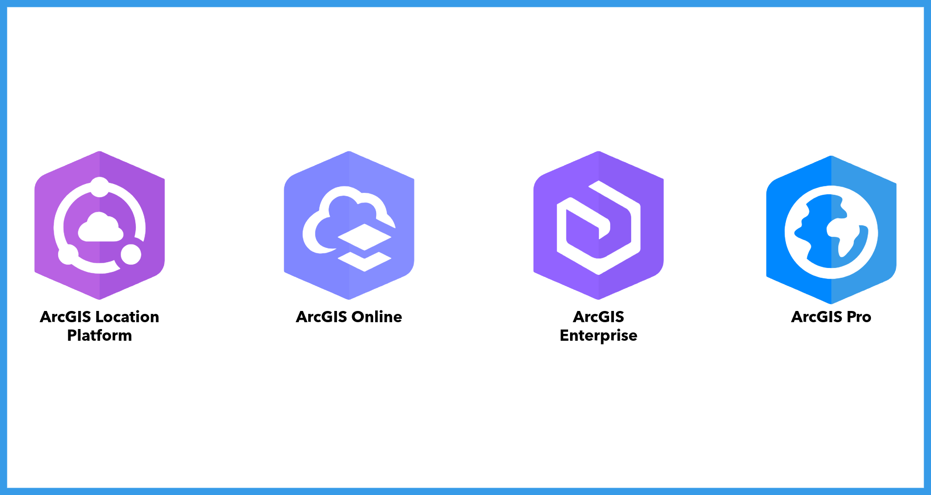
Applications built with ArcGIS Maps SDKs for Game Engines connect to the ArcGIS system to access authoritative geographic data, 3D content, and location services within Unity and Unreal Engine.
- ArcGIS Online: Esri’s cloud-native platform for managing and sharing maps, scenes, data, and services.
- ArcGIS Enterprise: A self-managed deployment option that enables organizations to securely host and serve GIS content from their own infrastructure.
- ArcGIS Location Platform: A developer platform that provides location services, basemaps, and other ArcGIS capabilities through a pay-as-you-go model.
- ArcGIS Pro: Esri’s desktop GIS application for authoring, analyzing, and preparing geospatial content. Data and 3D content created in ArcGIS Pro can be used as the geographic foundation for simulations, digital twins, and immersive experiences built with ArcGIS Maps SDKs for Game Engines.
Licensing
Applications built with ArcGIS Maps SDKs for Game Engines can be deployed to production when used with at least one of Esri’s foundational products: ArcGIS Online, ArcGIS Enterprise, ArcGIS Location Platform, or ArcGIS Pro.
Where It Fits in the ArcGIS Maps SDKs Ecosystem
ArcGIS Maps SDKs for Game Engines is one of three specialized SDK product suites designed for different development environments and use cases:
- ArcGIS Maps SDK for JavaScript: Create web-based mapping applications that run in any modern browser. Ideal for building accessible, cross-platform web apps without installation requirements.
- ArcGIS Maps SDKs for Native Apps: Build native mobile and desktop applications using Flutter, Kotlin, .NET, Qt, or Swift. Perfect for developing anything from simple mapping apps to advanced custom spatial workflows, with native platform performance and integration.
- ArcGIS Maps SDKs for Game Engines: Use Unity and Unreal Engine to build immersive applications with advanced 3D visualizations, XR experiences, and photorealistic environments. Ideal for applications that demand high-end 3D rendering, immersive interactivity, and simulation capabilities.
Each SDK suite is optimized for its target platform while maintaining access to the same rich ArcGIS ecosystem of data, services, and analytical capabilities. This enables organizations to choose the right development approach for each use case while maintaining consistency across their geospatial application portfolio.
Ready to Start Building?
Learn more about ArcGIS Maps SDK for Unity and ArcGIS Maps SDK for Unreal Engine, including documentation, tutorials, and sample code.
Subscribe to the Esri Developer Newsletter to keep up with product releases, technical guidance, and developer resources.

Commenting is not enabled for this article.