Imagery & Remote Sensing

Historical USGS topographic quads

By Aileen Buckley, Mapping Center Lead
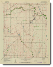
USGS Quads - Thumbnail

Some of you may find this news of interest…the USGS historical topographic quadrangles are being made available in the Map Locator application at the USGS Store website (http://store.usgs.gov/), for viewing/downloading in GeoPDF format (a print-on-demand can also be ordered). They will be posted in the same order that the new product U.S. topos are being made available, so the first state for which they are available is Kansas. These historical quad scans include every version of a USGS topographic quadrangle map that was printed, including reprints where no changes were made to the interior of the map. Here is where you can find details on this project: http://nationalmap.gov/historical/index.html.

Note that we also blogged about this in an earlier entry: USGS Historical Quadrangle Scanning Project.

About the author

Dr. Aileen Buckley has been making maps since she was an undergraduate student. She has a Bachelors in Geography and Spanish from Valparaiso University, a Masters in Geography from Indiana University, and a Ph.D. in Geography from Oregon State University. She is a senior product engineer on the Living Atlas team, and her work focuses on determining and sharing best practices for mapping and analysis with modern GIS. She publishes and presents world-wide on many aspects of mapping and GIS. She is a co-author of Map Use: Reading, Analysis, Interpretation, and she is a co-editor for the Atlas of Oregon. Aileen is a former president of CaGIS (the U.S. cartographic association) and is actively involved with the International Cartographic Association in which she is the lead delegate for the United States.

Connect:
0 Comments
Inline Feedbacks
View all comments

Next Article

Using Alternative Text for Equitable Storytelling

Read this article