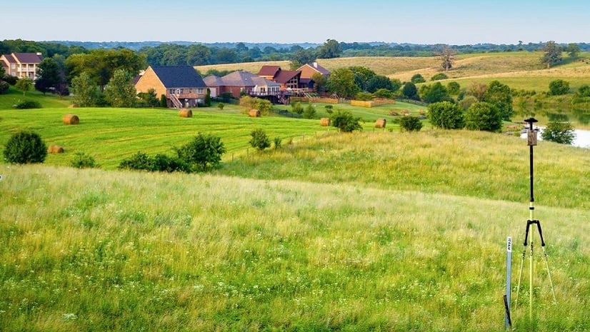
In the United States, we expect clean, safe water at home, at work, and anywhere we visit. It’s something we take for granted. The average person doesn’t think about what it takes to get that clean, safe water to their faucet every time they turn it on.
The average person also doesn’t think about the size of their water utility or wonder if the utility has enough resources. Those of us who are part of the water industry understand that some utilities do not have all the resources they need. Resources that would make their system more efficient, easier to manage, and sustainable for the future. For example, many small water systems lack the resources that larger utilities have.
Small systems and large utilities face many of the same challenges: limited capital, increasing regulatory requirements, aging infrastructure, lack of in-house technical expertise, shrinking workforce due to retirements, etc. The two challenges that are mentioned the most when I talk to small systems are the following:
- Limited capital—Most small systems do not have the capital reserves of a large system. Their customer base is small. Increasing rates for any reason will result in hardship for their customers. The capital they do have is stretched thin to support their basic needs:
System maintenance
System repairs and replacements
Regulatory testing and reporting
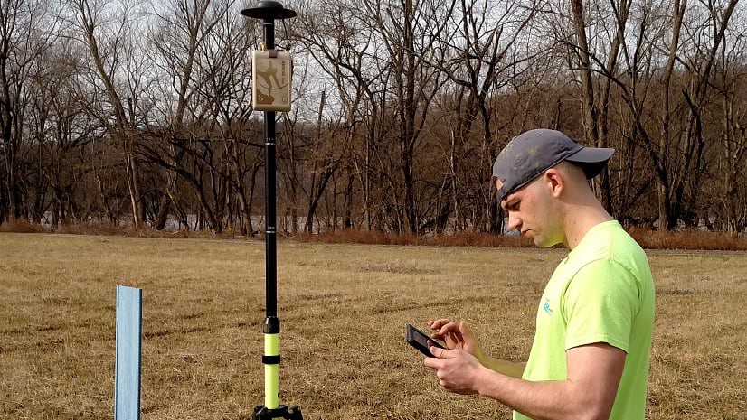
- Lack of in-house technical expertise—Staff at a small water system often support more than one role. Many of the GIS experts I have worked with also acted as the system engineer, the operator, or even the general manager.
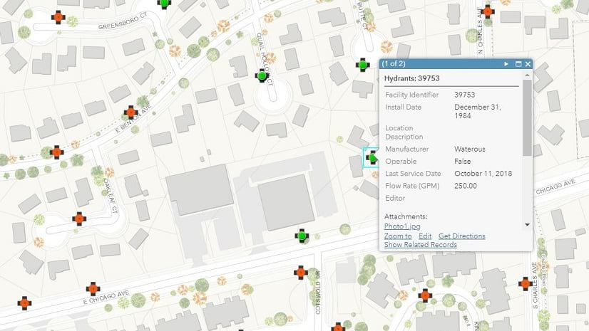
Esri can help in both of these areas. Esri has software pricing specifically designed for small water utilities. We have applications that run on tablets and smartphones, making it easy for non-GIS staff to start building and using digital maps. And we have a large team of water industry experts dedicated to helping our customers.
Visit our Mapping Rural and Small Water Systems web page to:
- Read about how small water systems are doing more with GIS.
- Download a guide that will help you get started.
- Learn about Esri solutions.
Want to connect with the #EsriWater team? Complete the “How can ArcGIS help you?” form at the bottom of the Mapping Rural and Small Water Systems web page.

Commenting is not enabled for this article.