Stories are at the heart of how we communicate, and how we reinforce our social ties. They help us make sense of the world and assign meaning to the often chaotic and confusing experiences of our lives.
Maps are a special form of storytelling; they’re a visual simplification and interpretation of the world. Cartographers have long used design techniques to make maps work as narratives, creating visual hierarchies in type and color to reveal layers of meaning.
The digital age has vastly boosted the power of maps to tell stories. Maps, once static, are now dynamic, and can be combined with multimedia content to tell stories in exciting new ways. As a life-log cartophile, as a survivor of the transition from the analog world to the digital realm, as former chief cartographer at National Geographic, and as founder of the Esri Story Maps team, I’ve accumulated a pile of thoughts and opinions about maps and stories, and how our minds work to make sense of the world.
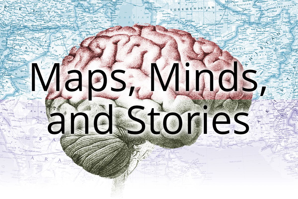
In an attempt to bring a semblance of order to that pile, I’m publishing a series of story maps that I hope will provide a few insights…and that just might inspire you to tell your own stories. Click on the brain below to get started, or go straight to each piece:

Article Discussion: