If you’re a planner, you likely turn to paper maps when you need to sketch a quick concept, draw a boundary, or highlight an area of focus. In these instances, precise location and measurements aren’t necessary for communicating high-level ideas. But when precision is required, for example when evaluating the impact of new zoning regulations or redeveloping existing parcels, coordinate systems and accurate projections are essential, so there is no doubt in how the future could look.
That’s why the latest release of ArcGIS Urban introduces a new option to define the coordinate system for your Urban model. Check out this blog post for an in-depth look at all the new capabilities and best practices.
A win-win for planning and GIS departments
Why is this good news? By applying the same coordinate system to your urban model as one that’s widely used for your existing GIS data, you can eliminate the need for time-consuming data conversions and maintain a seamless flow of data between your GIS repository and ArcGIS Urban. This means that the planner won’t have to rely on the GIS analyst to do extensive data reprojections to prepare the data for use in the Urban model.
This enhanced support for coordinate systems will proceed as follows:
- This release (October 2023): Support of all projected coordinate systems using metric units as well as WGS84 and China Geodetic Coordinate System 2000. If your projected coordinate system uses meters, you are good to go!
- Future: Support for projected coordinate systems with US Standard units.
What else is new?
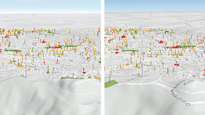
- Copy an Urban Model: Supporting coordinate systems required several features to ensure you could create new models properly, convert your old global models into local ones, and export them into the appropriate web scenes. Copy Urban Model is one of these new capabilities that you will be able to take advantage of for more than just changing the coordinate system of your model. With this feature, you’ll be able to copy an entire Urban model, including a specific selection of plans and projects.
- Upload Zoning Types with New Spreadsheet Template: If you are loading your Zoning Types for the first time, or you are still working on completing them on a spreadsheet, we have a new Zoning Types Excel template that allows you to enter the values of your setbacks (or tiers) in individual cells. No more writing of JSON strings for setbacks!
- Improved Plan Editing Experience: We’ve enhanced the Plan editing experience with better visualizations like the transparency of spaces not counting towards GFA/FAR and transparency of parcels with null values in a suitability layer.
- Accessibility Improvements: We always strive to provide a better experience to all our users. In this release, you will find more improvements to accessibility.
Additional resources
For more information about this release, see our in-depth blog and webinar recording on the new support for coordinate systems.
Connect with the team
If you have any additional questions about this release or want to discuss how you can get started with ArcGIS Urban, reach out to us at smartplanning@esri.com. You can also ask us questions and find helpful product information on our community forum.


Article Discussion: