Esri Press
Cartography.
This lavishly illustrated reference guide by Esri's Ken Field is an inspiring and creative companion along the journey toward making a great map.

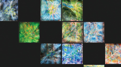
The original "science behind the systems," also known as SPATIAL DATA SCIENCE

Geographic information science, also known as GIScience or geospatial data science, has been in Esri's DNA since our founding in 1969. Many of our key staff and leaders trained with legends in the field. "Father of GIScience" Mike Goodchild is a long-standing, trusted consultant to further guide and critique us, as is remote-sensing and education pioneer Dave Cowen. Chief scientist Dawn Wright is on the editorial boards of the International Journal of Geographical Information Science and Transactions in GIS.
Many of our staff serve on a range of other GIScience journal editorial boards or contribute to outlets such as the Cartography and Geographic Information Science (CaGIS) Journal, the Cartographic Journal, Journal of Geography in Higher Education, and the Annals of the American Association of Geographers.
Search for and discover peer-reviewed publications by Esri staff.
Search the databaseNine Esri staff have authored chapters or edited sections in the Geographic Information Science & Technology Body of Knowledge (GIS&T Bok).
Explore GIS&TPresent your peer-reviewed paper at the Esri User Conference.
Submit your paperRead this research article by Dawn Wright in the International Journal of Geographical Information Science.
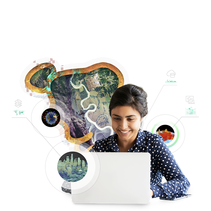
Read the articleLearn about Esri’s integrated geospatial infrastructure initiatives, which both include and extend past the traditional spatial data infrastructure (SDI) concepts. This is the next evolution in the modern SDI story—moving beyond data, technology, and core spatial data science methods to embrace innovations in governance, engagement, and capacity building.

Esri is now an associate member of Group on Earth Observations (GEO), a global intergovernmental partnership that improves the availability, access, and use of Earth observations for a sustainable planet. Esri is involved in GEO's flagship Biodiversity Observation Networks (BON) as well as several of GEO's initiatives—for example, Global Water Sustainability (GEOGLOWS), Blue-Planet, and Earth Observations for the Sustainable Development Goals—and community activities (e.g., Digital Earth Africa).
Inspiration, resources, training, and fascinating reads on cartographic science
Cartography.

Connections and Content: Reflections on Networks
Map Use: Reading Analysis, Interpretation