Skip to Content

Ocean Science

Exploring, mapping, visualizing, analyzing, and protecting Earth's last frontier

Science is the basis for fighting climate change together. Esri is committed to providing resources to help create a sustainable future.

Access climate change overview

The rapid pace of economic, ecological, and social change has dramatically influenced the way ocean and coastal environments around the world are mapped and managed. Our ability to measure change in the oceans (open, nearshore, or coast) is increasing, not only because of improved measuring devices and scientific techniques, but also because new GIS technology provides a better understanding of this dynamic environment. From collection and display of data to complex simulation, modeling, and the development of new research methods and concepts, we continue to evolve GIS to better empower ocean scientists, resource managers, and conservationists.

Esri Ocean Science Capabilities

Originally recorded as part of a 2020 meeting with the National Geographic's Pristine Seas program, these nine videos provide an excellent showcase of Esri's ArcGIS software for ocean science, ocean conservation, and science communication.

Additionally, access the 2020 Esri Ocean, Weather, and Climate GIS Forum demos for the latest ocean, weather, and climate information.

Demos for National Geographic
Access forum demos
A 3D graphic of billowing white and blue shapes overlayed with yellow graph-like lines and a 3D square map enclosed in a translucent circle

Esri Oceans Hub

Esri's new hub of ocean resources includes apps for ocean analytics, informative blog posts, story maps, and tutorials, plus information about the annual Esri Ocean, Weather, and Climate Forum for collaborating across ocean subdisciplines.

Explore the oceans hub
A birds-eye view of a small fishing boat laden with piles of rope in still deep blue water with a green reef just visible below the surface, overlaid with a small image of a colorful underwater reef teeming with life

Ecological Marine Units — A 3D analytic basemap of the ocean

Ecological marine units (EMU) are 3D renderings of observations about ocean characteristics. A foundation for a standardized and practical global ecosystems classification and map for the ocean, EMU’s are being used in over 15 projects worldwide. The data is free and open within ArcGIS Living Atlas of the World.

A graphic with rows of pink and purple cylinders laid in neat rows overlaying a stylized contour map of the Earth

A global 3D basemap of the ocean

EMU’s greatly benefit ocean research, design of marine protected areas (MPA’s), and classroom instruction.

Explore EMUs

Free new EMU learning module

Learn how to work with EMUs as 3D voxel layers and analytical fence diagrams.

Explore this tutorial

One Ocean

See how to load global EMU data as points, and render them in the One Ocean Spilhaus projected coordinate system.

Read the article

Explore the Maldives

See an Indian Ocean subset of the EMU’s in a custom web app using the Javascript API.

Explore in 3D

Introducing Ecological Coastal Units

Explore a new resource for coastal managers and researchers that allows for standardized characterizations and comparisons of coastal settings and processes. Every one kilometer stretch of coastline on Earth can be queried for 11 variables characterizing the waterside, landside, and coastline properties. This resource is brought to you by Esri, the USGS, and a team of international experts.

Read the article
Explore resources
A section of small islands overlaid with a circular 2D map of the islands

An ocean of story maps

With the storytelling tools in ArcGIS, the ocean community is telling powerful stories about ocean science, conservation, exploration, and fieldwork. Find motivation for your story with the story maps in this unique collection of outstanding science communication examples that inform, educate, and inspire scientists, conservationists, decision-makers, and the public.

Explore ocean story maps
View all ocean stories
A brown seal looking over its shoulder beside a still blue ocean under a clear blue sky, overlaid with smaller ocean contour maps and a heat map of the Earth

Advanced ocean basemaps

The Ocean Basemap includes a vector tile layer for bathymetry, surface and subsurface feature names, and derived depths, designed for use by ocean GIS specialists or as a reference map by anyone interested in ocean data. New content is available across all styles of vector tile layers, enabling customization of both layer content and display appearance.

Get the Ocean Basemap
Get the Arctic Ocean Basemap
An birds-eye image of the clear blue water over the Mariana Trench overlaid with concentric circles containing maps of the land beneath

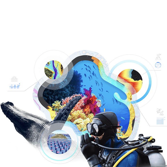
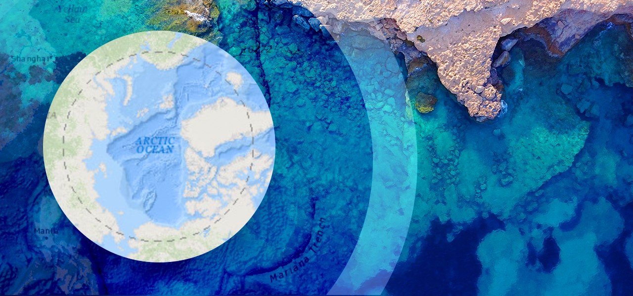
UNH/CCOM-JHC Data Portal

The University of New Hampshire’s Center for Coastal and Ocean Mapping (UNH/CCOM) and National Oceanic and Atmospheric Administration (NOAA) Joint Hydrographic Center (JHC) have provided web-accessible maps since 2012. This portal includes a wide variety of ocean maps and applications, offered in collaboration with the General Bathymetric Chart of the Oceans (GEBCO) and Seabed 2030.

Explore the portal
A bathymetric map of the Atlantic Ocean Margin showing different depths of the ocean in orange, green, blue, and purple

Benthic Terrain Modeler

The Benthic Terrain Modeler is a Python-3-based set of geoprocessing tools to analyze benthic terrain for the purposes of classifying surficial seafloor characteristics. It now implements block-based processing for large raster calculations using the NumPy and SciPy scientific libraries.

Get the extension
Read a peer-reviewed paper
Two colorful heat maps side by side on a laptop monitor, overlaid with several menus of analysis options

Our collaborators in ocean science

Previous
Next

Special product licenses for scientific organizations