National Geographic Society
The National Geographic Society and Esri have partnered to cultivate empathy for the earth among youth and elevate the voices of young leaders.

National Geographic Society

Education for a brighter future

Teach with GIS

ArcGIS tutorials
Provide data, tools, training, mentorship, and more to communities to create the next generation of geospatial infrastructure leaders and users.
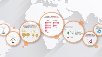
UN Sustainable Development Goals

Open Data DC developers starter kit
Celebrate good work by good people.

Engaging scientists through data sharing

Conservation in the Era of Data and Analytics
By Sheila Lakshmi Steinberg & Steven J. Steinberg
By Ryan Lanclos and Matt Artz
By Robert Scally
By Tyler Danielson
By Dr. Jill Saligoe-Simmel and Maria Jordan
Sign up for integrated geospatial infrastructure updates.