Drone Mapping

Maximize drone operations with a comprehensive geospatial platform

Contact sales

Unlock drone mapping potential with GIS

Connect drone imagery and crucial location data in ArcGIS, the world’s leading geographic information system (GIS) technology.

Add geospatial context to imagery

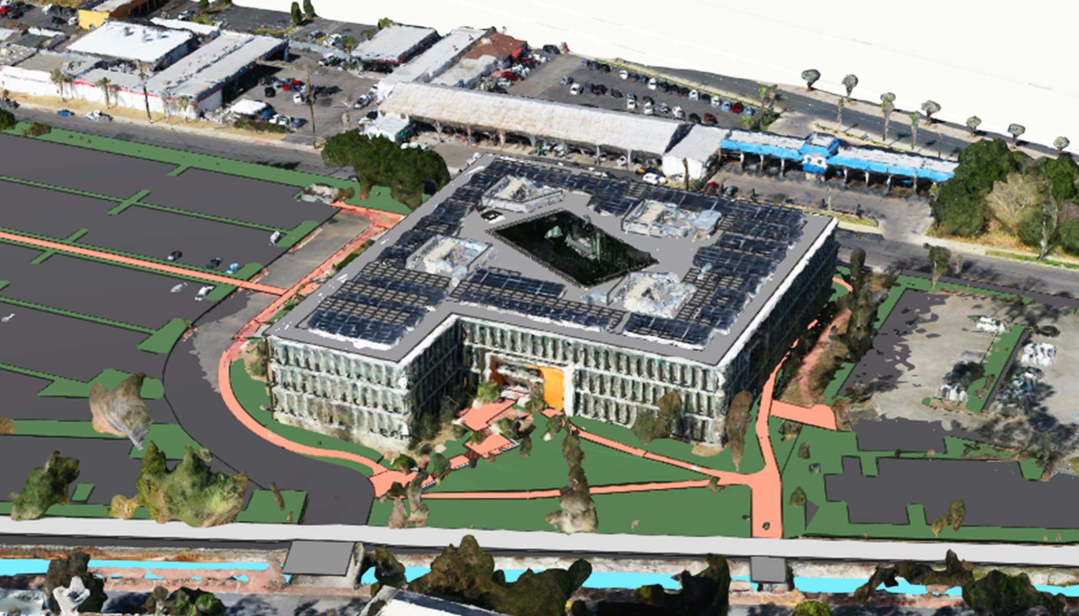
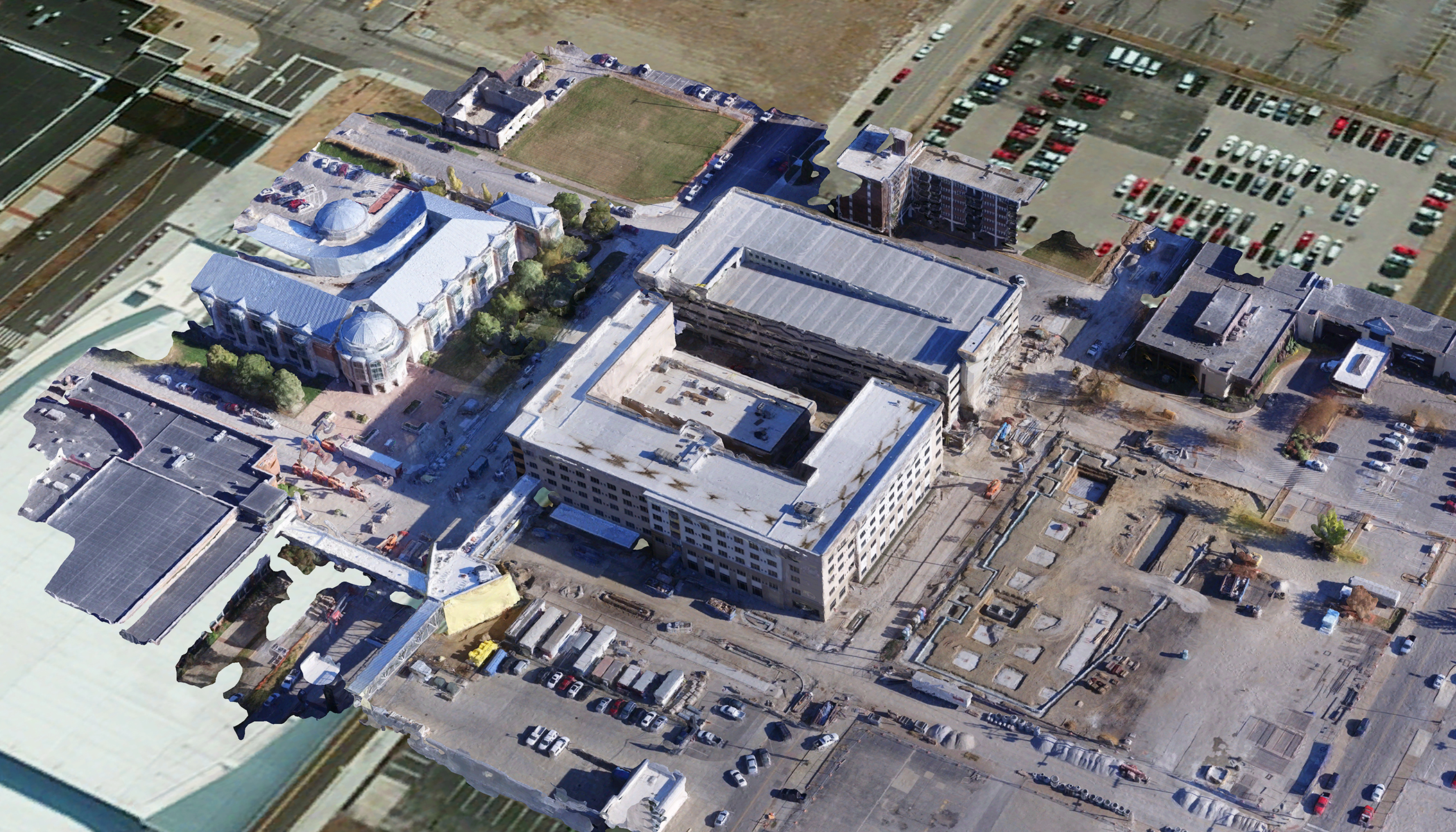
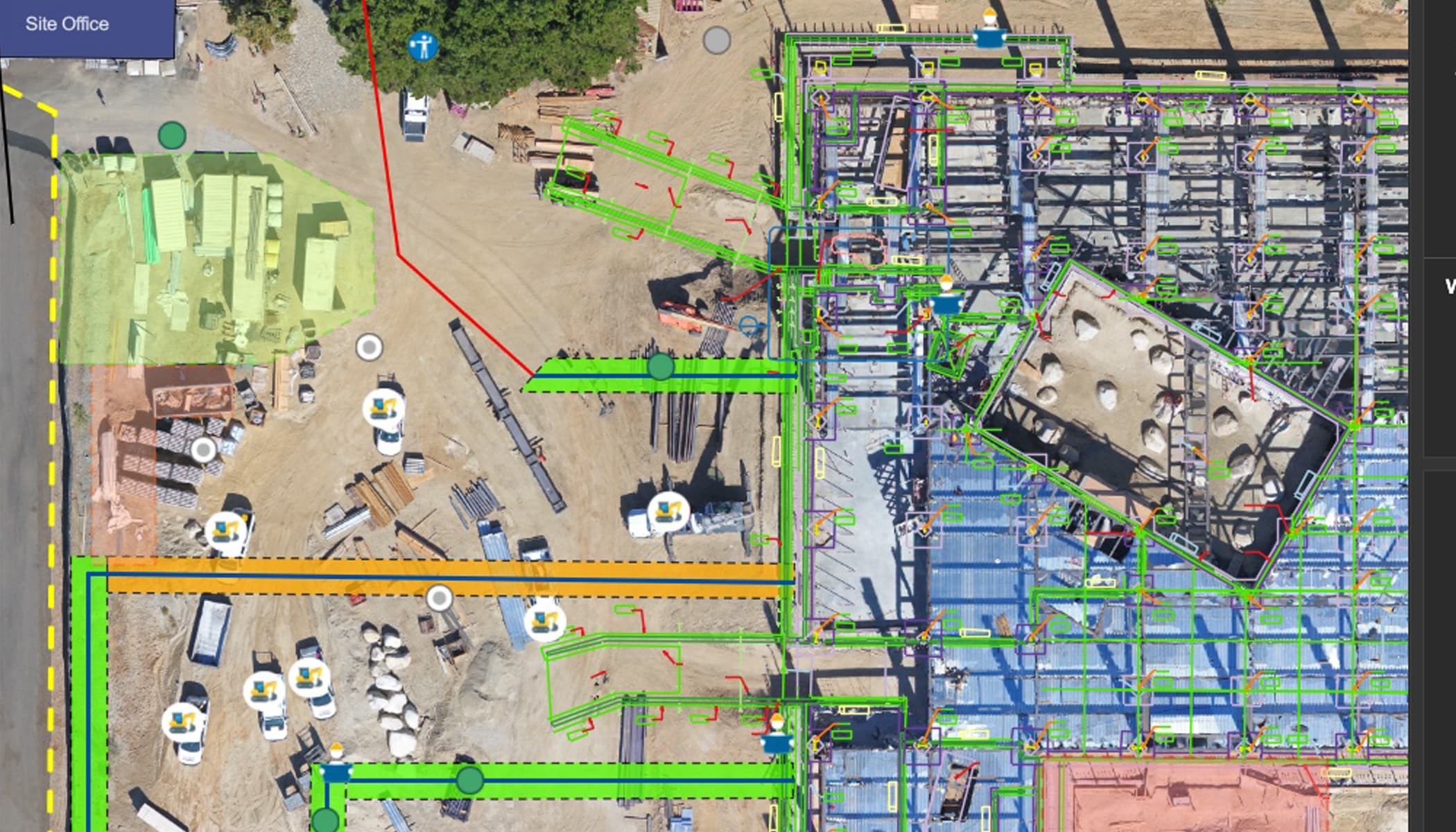
Gain an unmatched view of assets and operations with reality mapping, high-quality drone imagery layered on GIS maps.

Scale drone operations and drive productivity

Unify all elements of an end-to-end workflow—including data capture, management, analysis, mapping, and sharing—in a system built for growth.

Power strategic outcomes enterprise-wide

Strengthen decision-making at every level of your organization by incorporating drone imagery into workflows and business systems.
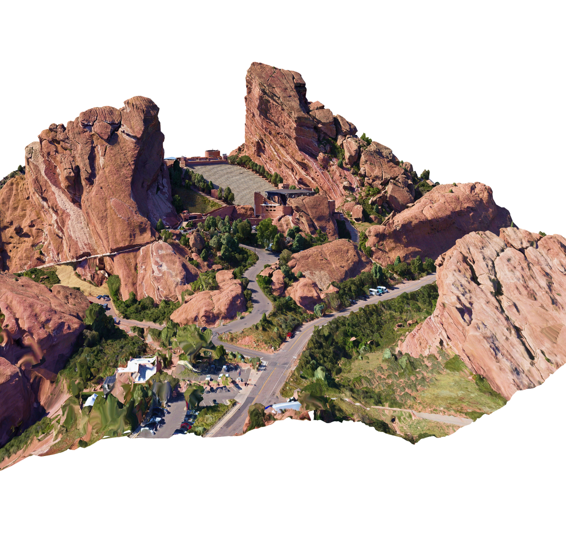
Drone-captured image of the amphitheatre

See operations in unprecedented detail

A GIS-powered 3D mesh transforms operations at Denver’s Red Rocks Amphitheatre—from emergency preparedness to venue management.

Boost efficiency, build shared understanding

Deliver insights your organization needs with the powerful geospatial capabilities of ArcGIS software.

Previous
Next

Power drone operations at any scale

From rapid land surveying to real-time site management, organizations maximize returns on drone investments with Esri’s GIS software.

Saving time and money during construction

at Brasfield & Gorrie

One of the largest privately held construction firms in the US achieves real-time site planning and monitoring with seamless integration of drone imagery and GIS.

Staff use spatial analytics to accurately assess materials, track resources such as gravel and fabric, and reveal cost-saving opportunities.

A 3D model featuring buildings and an adjacent parking area

Improving urban planning and public involvement

in Salt Lake County

The Greater Salt Lake Municipal Services District is speeding up land surveying and creating interactive 3D models for proposed developments using advanced GIS mapping and analysis.

Residents can also utilize the county’s drone services for property inspections and evaluations that otherwise would be cost prohibitive to many.

A 3D model of a building surrounded by trees

Accelerating disaster response

at the Alaska Department of Transportation

After a devastating landslide, engineers used drone imagery and GIS to map damage in impacted areas and inform the public. Later, they ran weekly drone flights to monitor change and connected the imagery to weather station data to show how the ground was reacting.

: A map layered with drone imagery, with a portion marked in pink to indicate the approximate location of a landslide

Turning imagery into high-resolution 3D maps

at F&W Forestry Services

Flying over more than 50,000 acres in a few years, GIS-powered drone mapping enables safe monitoring of challenging terrain.

The low cost and flexibility of launching a drone along with valuable drone-collected data makes it essential for site prep work, maintenance, and preparation for planting season as well as harvest.

Drone imagery of a pine plantation, with bedding rows highlighted in purple

Preserving a complex ecosystem

at Tahoe Environmental Research Center

Researchers use a combination of unmanned aerial vehicles (UAVs) and GIS to simplify tracking algae growth and testing mitigation strategies at Lake Tahoe.

Teams capture imagery to record the clarity of the lake and monitor the growth of algae around its 72-mile shoreline. Sophisticated GIS analysis detects changes over time.

Drone imagery of Lake Tahoe showing the shoreline and water, with sections of the water highlighted in green to mark algae growth

Optimize critical drone workflows

Leverage the advanced analysis, imagery management, and reality mapping capabilities in ArcGIS across workflows.

Speed inspection and monitoring

Quickly and consistently capture high-resolution imagery to monitor sites and assets with automated, repeatable flight plans that standardize data capture.

Analyze large datasets in ArcGIS to detect issues and identify areas that need intervention. Layered on detailed and easily shareable maps and 3D models, imagery provides visibility into real-world conditions.

A 3D model of an air traffic control tower showing the angle of an inspection photo taken along a drone’s flight path

Inform site planning

Elevate site operations with realistic 3D maps that incorporate imagery with BIM and CAD data. Continually compare drone data with evolving design plans to prevent costly mistakes.

Measure distances, areas, and material volumes to optimize resources. Monitor progress and streamline communication with shared maps and dashboards.

3D CAD drawing fading into a 3D mesh, demonstrating how ArcGIS can combine drone and other data

Enhance safety and security

Pinpoint where conditions have changed in hazardous and hard-to-reach places with robust maps. Determine ideal places to deploy resources with insightful spatial analytics.

Use GIS-based dashboards to share critical information about potential risks and evolving situations with stakeholders.

A flood simulation in ArcGIS, showing a design for city streets that allows for proper drainage

Flexible deployments

Use ArcGIS drone mapping software locally or in the cloud.

Compare drone mapping options
Previous
Next

Contact sales

Connecting You with Sales Experts

Talk to someone on our sales team

1-800-447-9778

7:00 a.m.–5:00 p.m., Monday through Friday (PT)

Chat online

Start a chat

Contact the sales team

Fill out the contact form