Skip to Content

Aerial Mapping

Contact sales
A large building with a courtyard and green trees representing a 3D textured mesh

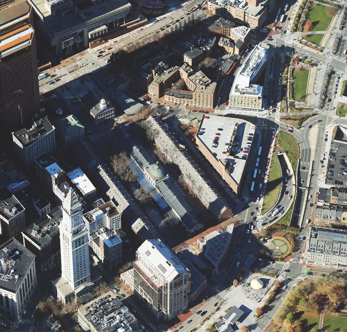
Create accurate real-world depictions

Automated workflows to scale your work

Automate the production of geometrically accurate and photo-realistic textured results for entire cities and countries.

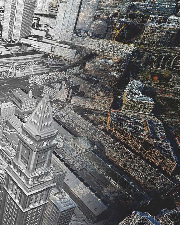
Create the foundation of your digital twin

Bring data together to create a digital twin. Integrate your drone and/or aerial content with data layers and real-time feeds in ArcGIS.

Part of a comprehensive imagery system

Esri aerial solutions are integrated with ArcGIS. Easily extend your work with more imagery types, collaboration options, and advanced analytics.

Background image is a photo of the city of Boston, foreground is 3D meshes of the City of Boston morphed together
An oblique image of a densely populated residential city street lined with Victorian-style apartment buildings

Photo-realistic results processed and created with ArcGIS Reality using imagery dataset provided by ©Bluesky Ltd.

How it works

Previous
Next

Choose your deployment

Choose which deployment of the aerial solutions from ArcGIS Reality works best for your organization.

Previous
Next
person-administrator-64

Contact sales


Talk to someone on our sales team

1-800-447-9778

7:00 a.m.–5:00 p.m., Monday through Friday (PT)

Outside the US?