
Ebook
Modernizing Construction with GIS
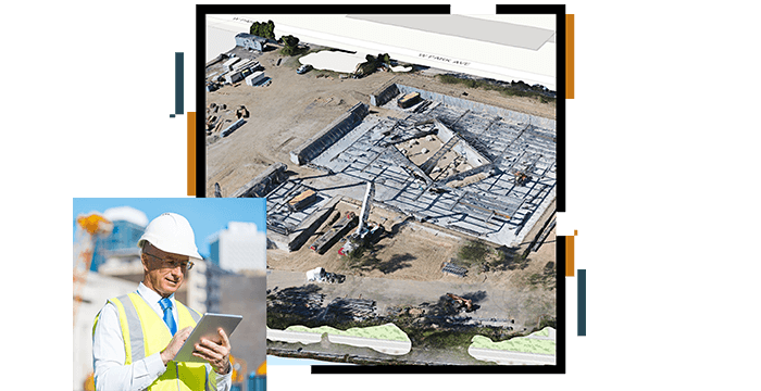
Geographic information system (GIS) technology revolutionizes construction by connecting location-based data across all project phases.
With this ebook, learn how to use it to streamline workflows, integrate diverse data sources, and enable real-time, informed decision-making. By enhancing collaboration and efficiency, GIS optimizes project delivery and improves communication among stakeholders.


