Permitting and preliminary design
Organize information to make those first big design decisions. Get through permitting more easily with information organized for analysis and decision-making.


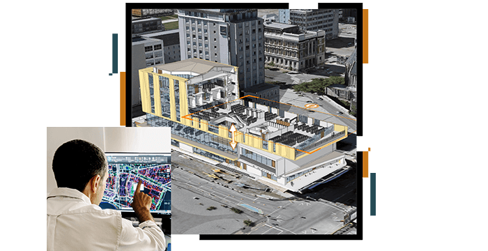
Organize information to make those first big design decisions. Get through permitting more easily with information organized for analysis and decision-making.
Collect data on existing conditions of the site, building, or remediation work. Mobile technology, connected to a GIS platform, allows for productivity in as-built workflows.

With the team or with the client or larger groups, GIS is a great tool for sharing, collaborating, and informing stakeholders on design progress.

Simplified collection and analysis of data on conditions throughout the project inform the engineers making critical decisions, which will have an impact for years.
