Skip to Content

Environmental Management

Environmental science is a multidisciplinary field that integrates the biological, social, and physical sciences. Every environmental issue has a geographic component: coastal erosion, contamination, pollution, urbanization, desertification, habitat loss, invasive species, and deforestation, just to name a few. GIS is a powerful technology to organize, analyze, manage, and visualize geospatial data for due diligence, site assessment and remediation, environmental restoration, and ecological modeling.

Functions

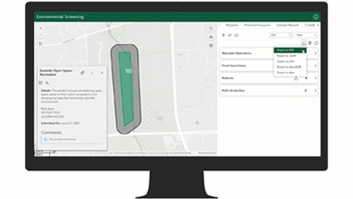
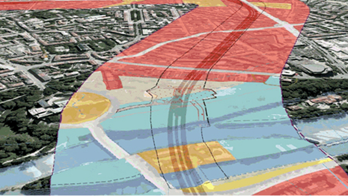
Environmental permitting and planning

Get through permitting and planning of environmentally sensitive and community impactful projects more easily with information that is organized for analysis.

Site assessment, restoration, and remediation

The strengths of GIS become clear to environmental consultants during the process of analyzing, designing, and developing plans that restore and remediate our public and private lands.

Environmental construction

GIS simplifies logistics and project management, alleviating the challenges staff typically experience during environmental construction projects.

Environmental management and compliance

Deliver reports to prove ongoing compliance with environmental standards more easily. Bring sensor data, manual data, and existing conditions together in standard and exceptional reports.

Case study

Brierley Associates engineering in mining industry

Brierley Associates produced high-resolution drone-captured imagery, precise borehole surveys, and digital maps to represent subsidence hazards.

Go to the case study

AEC business areas

Previous
Next
Explore all industries

Contact sales

Connect with the Esri AEC team