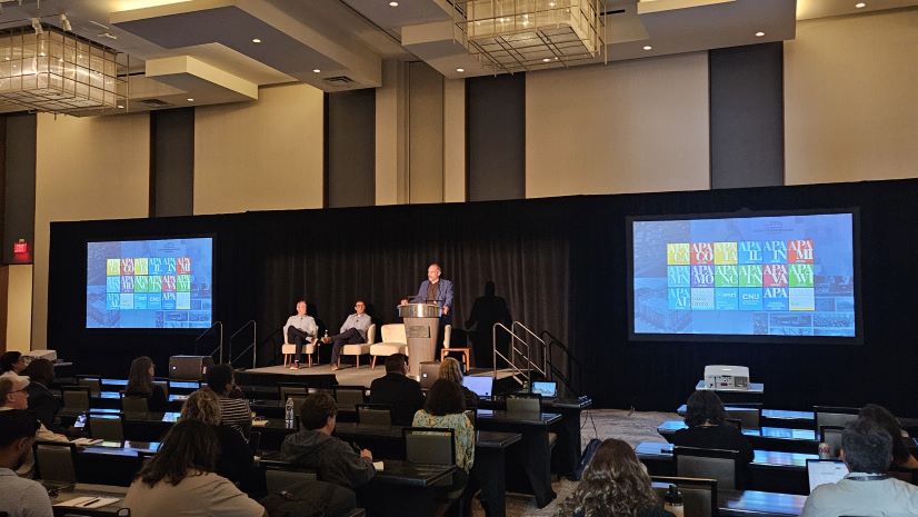
A Recap of the 3rd Annual Esri Planning Directors Summit
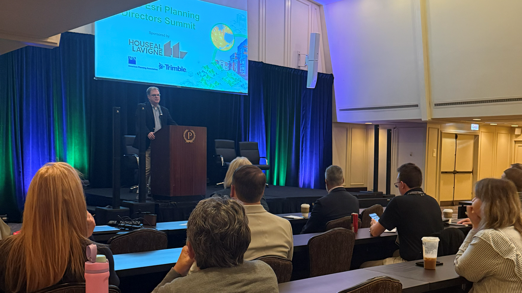
Last week in Chicago marked the 3rd Annual Esri Planning Directors Summit. City, county, and regional planning directors from across the country — and the world — gathered to learn from one another about how GIS is being used across all types of planning initiatives.
This event was several years in the making. It was built around a foundational premise: planning directors, regardless of the size or location of their organization, have far more in common with each other than not. They need a space to come together, share stories, learn, and develop strategies they can bring back home.
Day One: Setting the Theme
Keynote: AI, GIS, and the Power of a Good Question
The opening keynote delivered a theme that resonated throughout the entire conference: asking the right questions changes everything.
Attendees explored the evolution of artificial intelligence in the planning department. They saw how AI is changing GIS — but also how GIS is changing AI. Web GIS opened the doors by enabling non-GIS professionals to use geospatial tools. Now, AI assistants and agents are opening them even wider. Natural language conversations bring GIS to every level of planner and to city and county leaders alike.
Zoning, Comprehensive Plans, and Long-Range Planning
Two presentations tackled legacy zoning modernization:
- Justin Lesko from the Municipality of Princeton, New Jersey shared how GIS supported updates to legacy zoning codes.
- Ned Noel from the City of Eau Claire, Wisconsin presented a parallel story of GIS-driven zoning modernization.
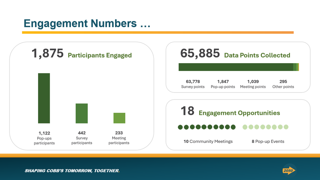
Cobb County, Georgia — the very definition of a rapidly growing county — demonstrated how GIS cast a wide net to engage and inform the public about their updated comprehensive plan.
The City of Anderson, South Carolina partnered with Esri partner Houseal-Lavigne to develop new area plans as part of their long-range planning efforts.
Federal Legislative Update and Housing Policy
Jason Jordan from APA delivered an essential update on the federal legislative landscape, including the latest on the Housing Supply Accelerator program.
One of the day’s highlights was the state housing policy panel, featuring:
- Ashon Nesbitt — Florida Housing Coalition
- David Adkins — Council of State Governments
This was a new and much-needed addition to this year’s summit. More state governments are getting involved in local housing policies. That reality cannot be ignored.
Planning Digital Twins: Need-to-Have, Not Nice-to-Have
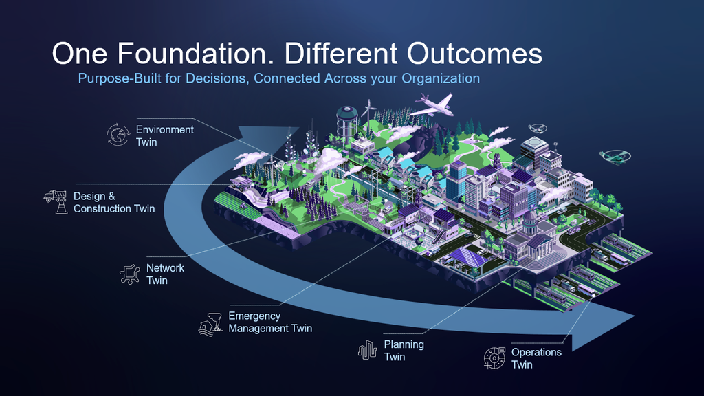
The day closed with an eye-opening presentation on the planning digital twin. Esri Practice Lead Christine Ma laid out the what, why, and how — helping directors in the audience understand why this approach is a need-to-have, not a nice-to-have.
Evening Reception at APA Headquarters
That evening, the American Planning Association graciously hosted summit attendees in their beautiful office high above Millennium Park. It was a remarkable opportunity for so many APA members to experience that incredible space. The weather cooperated, and the views went on for miles.


Day Two: Innovation, AI, and the Bigger Picture
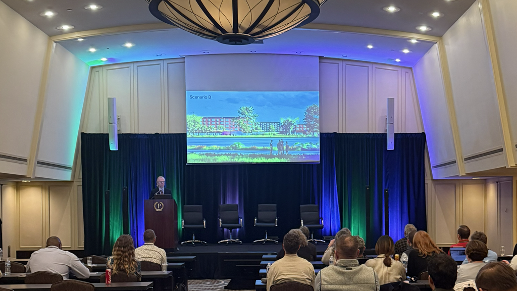
Location-Centric Permitting and ArcGIS as a Planning System
Day two opened with an inspiring story from Sherburne County, Minnesota. Their team built a location-centric permitting system to meet the needs of their growing county.
Esri Product Manager Silvia Casas then helped put many of the presentations into context by explaining ArcGIS as a Planning System.
The Chicago Metropolitan Agency for Planning (CMAP) showed how they support hundreds of local jurisdictions with authoritative geospatial content. This story is always close to my heart. I started at a regional planning commission. I understand the vital role these agencies play — especially for smaller jurisdictions.
Innovation Spotlight: Euclid, Place Engine, and AI in Planning
Summit premier sponsor Houseal-Lavigne offered a fascinating display of innovation, highlighting:
- Euclid — powerful staff support tools that streamline planning workflows
- Place Engine — game-changing, AI-driven functionality designed for planners
An AI in Planning panel followed, featuring:
- Devin Lavigne
- Silvia Casas
- Hermione Wang from Trimble, an Esri partner behind the Unity Permitting System
The discussion was so valuable that we ran long and cut into lunch. Nobody seemed to mind.
3D City Layouts and a Closing Keynote
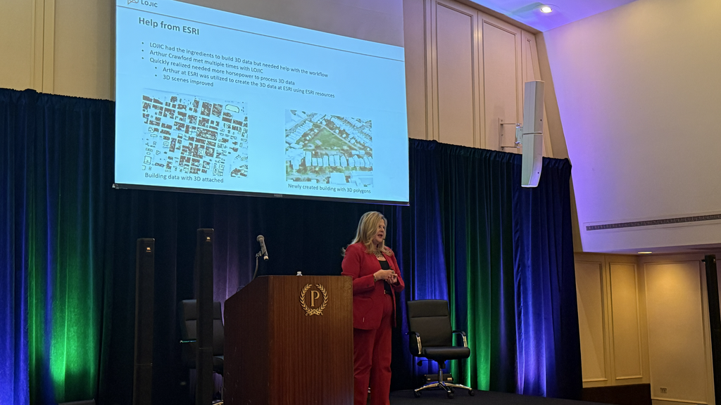
Trisha Brush from the Louisville/Jefferson County Information Consortium (LOJIC) wrapped up user presentations with a relatable story. Has your mayor ever walked in and asked for a 3D layout of your city? Trisha’s did. She shared exactly how her team made it happen.
Joel Albizo, CEO of APA, delivered the closing keynote for planning directors. It is easy for directors to lose sight of the big picture when day-to-day activities take over. Joel’s perspective — drawn from visits to state chapters across the country — was invaluable. His message reminded every director in the room why the work matters.
Two Days. One Big Takeaway.
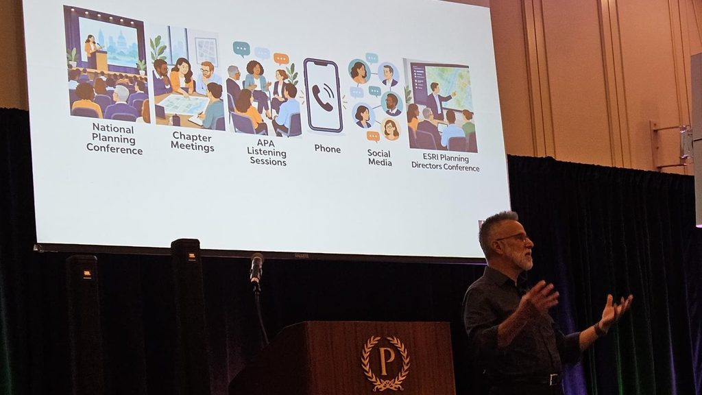
Over two days, we saw how planners are asking the right questions:
- How do we engage more citizens?
- Where do we need to update our future land use?
- What will the impact of an updated zoning ordinance be?
- Why do we need greater insight from our permitting system?
We had over 100 planners in attendance — and there is room for more.
If you could not make it this year, plan to join us next year in Chicago. Learning from and engaging with your colleagues is essential for planning directors. We hope you take advantage of this opportunity.