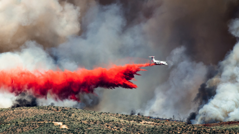
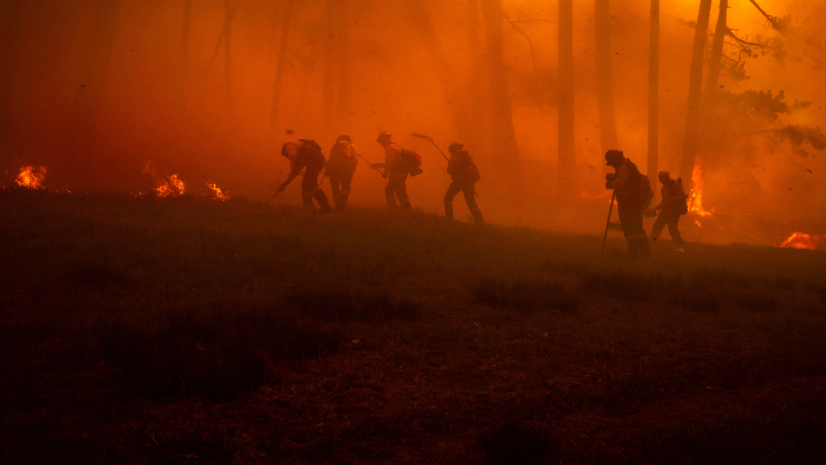
In the heart of the American Southwest, wildfire isn’t just an ecological challenge, it’s a public safety and social concern. Communities here live under wildfire’s constant threat, and data-driven decisions aren’t just nice to have; they’re essential. Enter the Southwest Ecological Restoration Institutes (SWERI). Since its beginning in 2004, this coalition of regional institutes has made it its mission to transform science into actionable insights for land management.
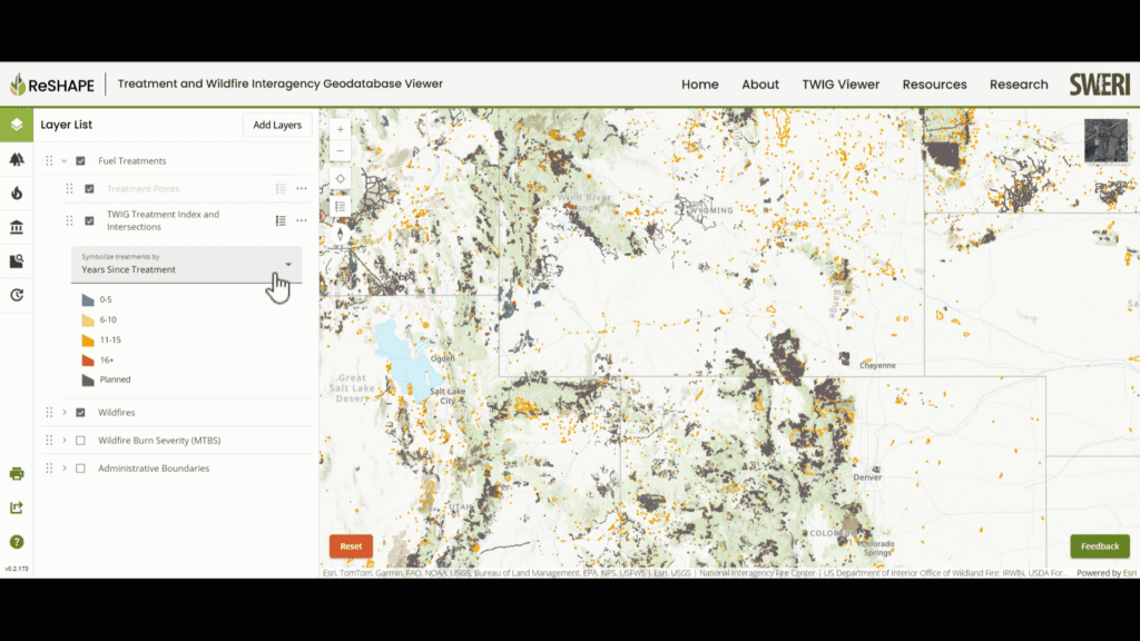
But things really shifted gears in 2021. The Infrastructure Investment and Jobs Act tasked SWERI with something big: to build a national-scale tool for consolidating and visualizing wildfire and fuel treatment data. The result was the Treatment and Wildfire Interagency Geodatabase (TWIG). TWIG is designed to empower everyone from policymakers and researchers to local land managers and the public to view a wealth of wildland fire data.
SWERI’s structure was key to TWIG’s success. Three historically independent institutes—the Ecological Restoration Institute (ERI) at Northern Arizona University, the Colorado Forest Restoration Institute (CFRI) at Colorado State University, and the New Mexico Forest and Watershed Restoration Institute (NMFWRI) at New Mexico Highlands University—joined forces to tackle this national challenge.
The vision for TWIG wasn’t just about compiling data; it was about making that data universally accessible. SWERI identified fragmented datasets across platforms that were sometimes difficult to access for anyone lacking at least some geographic information system (GIS) chops. So, SWERI staff set out to build a user-friendly, intuitive platform that democratizes data access and bridges technical divides.
Partnering with Innovate! Inc., a GIS-focused tech firm, SWERI built TWIG from the ground up on robust cloud infrastructure. Why GIS? Simple: Wildfire management is inherently spatial. Every fire happens somewhere, right?
Here’s what TWIG delivers:
- Dynamic visualization: Use interactive maps that anyone can intuitively navigate, toggling layers to zoom in on specific areas.
- Localized analysis: Upload custom boundaries, such as watersheds or forest management areas, and instantly retrieve tailored summaries of wildfire and treatment data.
- Congressional district insights: Users can drill down by congressional district to understand exactly how much work and funding have gone into fuels treatment, or to explore the history of wildfires at the district level.
- Landownership data: Look at landownership data to understand where fires traditionally occur as well as the impact they have on communities.
- Open-source flexibility: Users aren’t boxed into using a proprietary tool. They can download data directly for seamless integration into their own workflows.
SWERI program director Aaron Kimple summed it up best: “Maps are universal. They put complex data into context people understand immediately.”
TWIG went live in September 2023 and now provides a centralized, accessible platform with no logins and no barriers. It consolidates fuels treatment, wildfire, and burn severity data. Even better, SWERI made TWIG’s code open source on GitHub, embracing transparency and inviting collaboration.
But TWIG isn’t just about now; it’s built for what comes next. With funding secured through 2027, SWERI plans regular updates driven by user feedback. On the horizon: integration of daily fire progression data, expanded state-level datasets, and a smoother user interface. Dana Heusinkveld, who is on the project team, put it well: “TWIG accelerates understanding, turning complex spatial data into clear, actionable insights.”
Bottom line: TWIG is a new tool for wildland fire management. It doesn’t just fill data gaps—rather, it builds a path to consolidated data and usable tools. When GIS and innovation meet real-world collaboration, the possibilities are endless.
Check out the TWIG viewer.