Series Topics
What’s Burning and Where? Essential Apps and Reports for Wildfire Situational Awareness
The Backbone of Wildfire Intelligence: Foundational Layers for Analysis and Action
Unlocking the NIFC ArcGIS Online Organization: Data and Tools for Every Wildland Firefighter
Seeing the Big Picture: Remote Sensing for Wildfire
Bookmark this blog or follow us on LinkedIn and Twitter to catch each entry as it drops. Let’s get prepared, together.
About the series
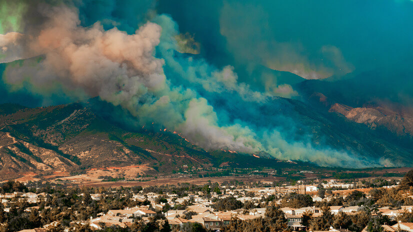
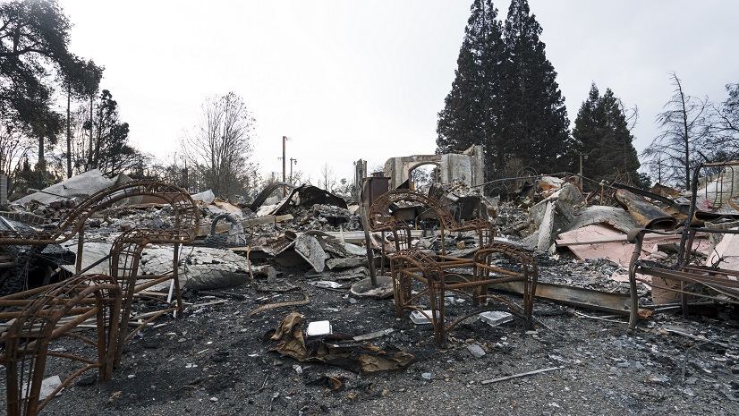
One minute the skyline is clear; the next, there is a plume of smoke on the horizon and a thousand questions that need to be answered. In those first moments, the difference between feeling the chaos of the moment or feeling prepared can, in part, be attributed to having the right tools, maps, and data at your fingertips.
This blog series will guide you through the essential tools and apps that wildfire responders and planners rely on. Across four installments, I will show you the best tools and apps to leverage. We will cover the most-used smartphone apps that every firefighter and public information officer should have, as well as the national data feeds that keep those apps alive. We will unlock the interagency NIFC ArcGIS Online organization, where professionals get their intel, and we will head into space with remote sensing, discussing satellite use and how aircraft are leveraged for infrared flights, exploring the Incident Awareness and Assessment (IAA) program along the way.
Why this series?
In my role, I am constantly asked, “Where do I find reliable fire data?” and “What tools should I be using?” Rather than answering those questions one by one, I decided to put together a guide that collects the most useful resources in one place. If you have been working with fire GIS for years, some of this may feel like a review, but for everyone else, I hope it shines a light on the tools and data that matter most.
Who is this series for?
If you touch wildfire in any capacity, this series was written for you. Are you a wildland firefighter or a crew boss trying to keep your team safe? A GIS analyst building maps for an Emergency Operations Center (EOC)? A public safety communicator tasked with answering hard questions at public meetings? A planner writing a Community Wildfire Protection Plan (CWPP)? Even if you are simply a homeowner in the Wildland-Urban Interface (WUI) who wants to understand the threat, you will find practical tools and insights here.
Each post builds on the last, so by the end, you will have a relatively high-level understanding of the tools and data that can help jumpstart your wildfire intelligence toolkit. Of course, this blog series is not exhaustive, and I did not have room to cover everything, so feel free to share other tools or datasets you feel could be applicable. Also, bookmark this page, follow along, and share the series with your team.
Learn more
To learn more about GIS solutions for wildland fire, visit our solutions page or download our ebook.