Introduction
As the energy sector embraces digital transformation, companies are finding innovative ways to improve operational efficiency and reliability. Enagás, the Spanish leader in natural gas storage, regasification, and high-pressure transport, has taken a bold step toward modernization by digitalizing its fiber optic network. This network, which runs parallel to its main gas pipeline infrastructure, is essential for communication and operational continuity. By implementing Esri’s ArcGIS Utility Network and Khatib & Alami’s Telecom Solution, Enagás is redefining how utility networks are managed in the digital age.
The Challenge
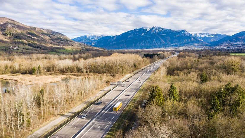
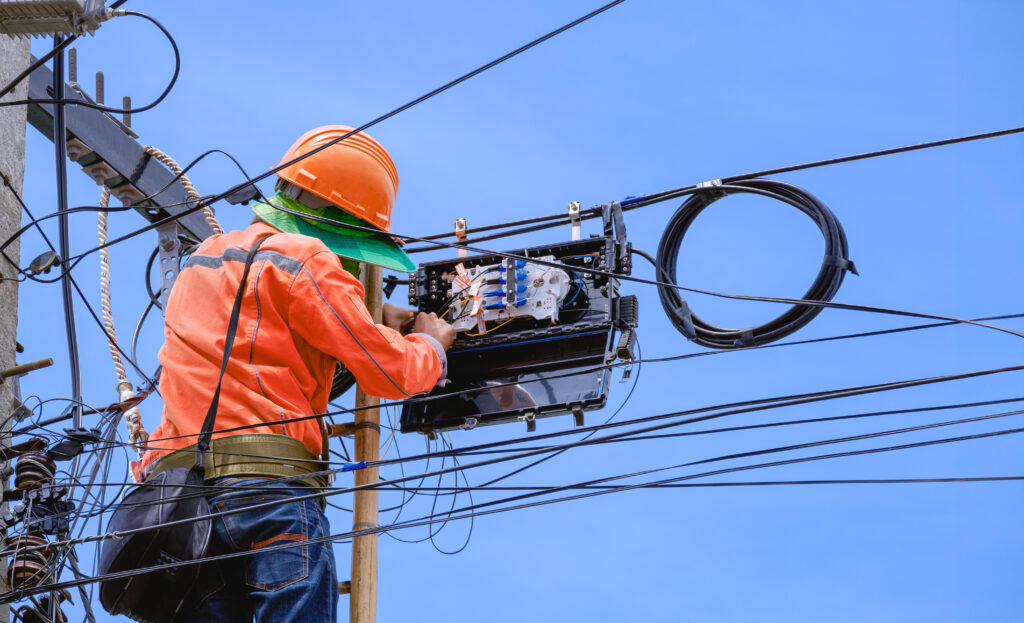
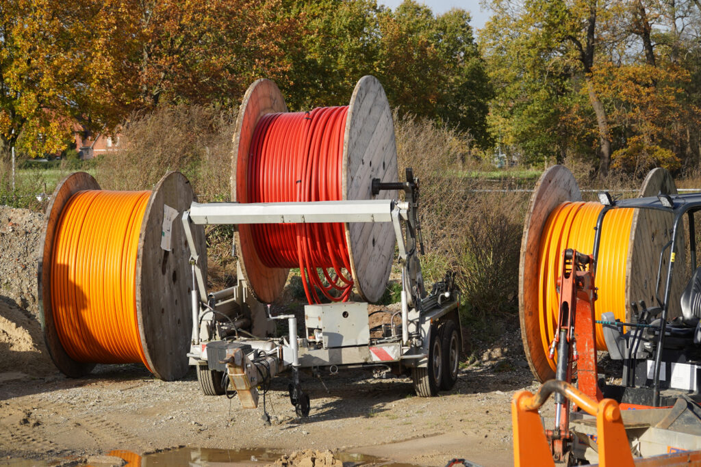
Managing a fiber optic network that spans more than 6,000 kilometers is no small feat. Before this initiative, Enagás faced significant hurdles. Information about the network was scattered across multiple formats—CAD drawings, PDFs, Visio diagrams, Excel spreadsheets, and KMZ files—making it difficult to maintain consistency and accuracy. Some network devices lacked documentation entirely, creating blind spots that complicated maintenance and increased the risk of human error.
The absence of a centralized, graphical representation of the network meant that operational planning was cumbersome and time-consuming. Updating records or troubleshooting issues required manual processes that were prone to mistakes. Enagás needed a solution that could bring all this fragmented information together, provide real-time visibility, and offer a user-friendly interface for managing a constantly evolving network.
The Partner
To tackle these challenges, Enagás partnered with Esri Spain and Khatib & Alami (KA), two organizations with deep expertise in geographic information systems (GIS) and telecom network solutions. Esri Spain contributed its knowledge of the ArcGIS platform, while KA provided its specialized Telecom Solution and experience in integrating complex utility systems.
The collaboration was hands-on and strategic. Together, the partners worked with Enagás to define a comprehensive Telecom data model based on the Communication Utility Network foundation. This model allowed for detailed physical and logical documentation of fiber optic components, ensuring that every cable, splice, and device was accurately represented. The team also conducted a pilot project covering 133 kilometers of network to validate workflows and system capabilities before scaling up. Training sessions were organized to ensure Enagás staff could confidently use the new tools, and phased implementation plans were developed to minimize operational disruption.
The Solution
The heart of the solution was ArcGIS Utility Network, a powerful platform designed to model, analyze, and manage complex utility networks. By integrating KA’s Telecom Solution, Enagás created a comprehensive digital map of its fiber optic assets. This map not only improved visualization but also enabled operators to interact with the network in ways that were previously impossible.
The implementation began with defining the Telecom data model, which captured both physical and logical aspects of the network. A pilot project followed, covering 133 kilometers to test the approach. Once validated, the first major phase was launched, digitalizing 1,500 kilometers of the network. Future phases will extend this transformation to the entire 6,000-kilometer network.
With this solution, Enagás gained real-time access to accurate information, making operational planning more efficient. Network diagrams and location reporting were enhanced, and updating or querying data became faster and easier. The ability to monitor services transported by each fiber at every point in the network added a new layer of control and reliability.
The Results
The benefits of this digital transformation have been substantial. By digitizing the first 1,500 kilometers of its fiber optic network, Enagás has significantly improved operational efficiency and reduced the risk of human error. Real-time, reliable information is now available to support maintenance and decision-making. The company can monitor services at every network point, ensuring better control and planning.
This initiative has also streamlined workflows. Tasks that once required manual effort and cross-referencing multiple documents can now be completed quickly within a single system. The improved visualization of network assets simplifies troubleshooting and analysis, while comprehensive documentation ensures consistency and accuracy across the organization. Ultimately, this transformation positions Enagás as a leader in leveraging geospatial technology for utility network management.
Stay Connected with the Industry
The gas and telecommunications industries are evolving rapidly, driven by digital innovation and the need for resilient infrastructure. Staying informed is essential for organizations that want to remain competitive. Engage with industry experts through webinars and conferences hosted by Esri and its partners to learn about the latest advancements in GIS technology. Explore best practices by reading case studies and blogs that showcase how leading companies are solving complex challenges. Finally, join professional communities and forums focused on utility network management to connect with peers and share insights. By staying connected, organizations can continue to innovate and deliver reliable services in an increasingly digital world.