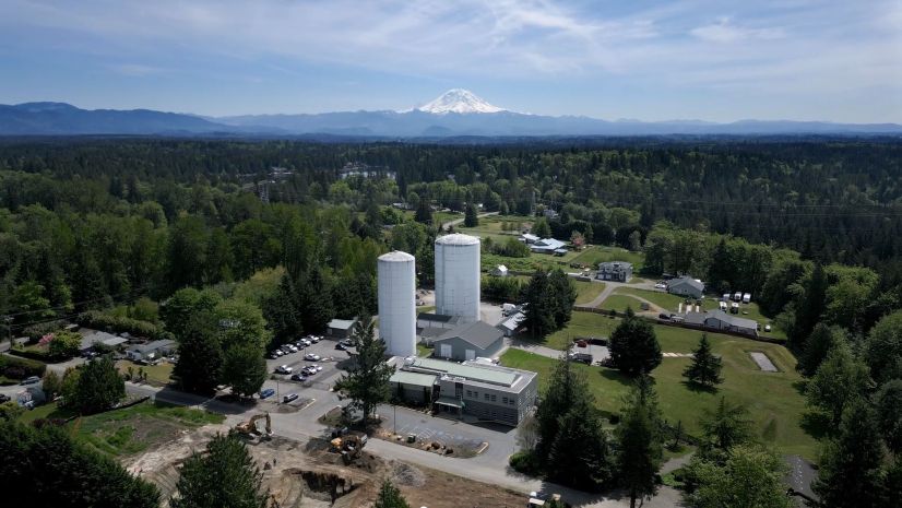
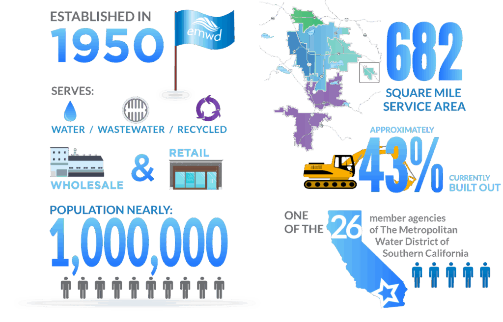
Based in Perris, California, Eastern Municipal Water District (EMWD) is the sixth-largest public water utility in the state. Its team of 600+ employees serves nearly one million accounts with water, wastewater, and recycled water across 682 square miles in western Riverside and northern San Diego counties.
In California’s arid climate, EMWD champions its growing recycled-water program, which reduces the demand for precious drinking water supplies. About two-thirds of EMWD’s production is used for agriculture, while other uses include public landscaping, schools, parks, city and county streetscaping, HOA landscape areas, golf courses, and wetland habitat areas.
“Any approved use of recycled water saves raw groundwater from being pumped and helps us avoid using potable water where recycled will do,” EMWD water operations manager James Lee said.

The Challenge: Legacy GPS Not Always Reliable
A longtime Esri ArcGIS user, EMWD had previously established maps as a critical technology for managing resources, prioritizing asset management, communicating information, and streamlining operations. But recently, they embarked on a journey to upgrade their legacy global navigation satellite system (GNSS), or GPS, devices.
When EMWD enterprise GIS manager Andrea Regalado joined the district eight years ago, just two teams were using the legacy all-in-one GPS receivers: the Recycled Water Group and the Water Operations Group. These older devices required a time-intensive process of loading and unloading files before and after field work. Office staff then needed to post-process the GNSS data and manually import it into ArcGIS. Because technology lacked modern automation and integration features, field crews occasionally had to revisit sites to verify or recapture location data. Upgrading the old devices would improve efficiency and reduce or eliminate site revisits.
“With the older GPS units, there were times when we’d need to go back and re-collect certain location points to make sure we had the most complete and accurate record possible,” said Troy Gardner, an on-site field inspector with Golden State Consultants, who help map EMWD’s recycled-water system. “The new tools eliminate those extra trips and give us confidence in the data from the start.”
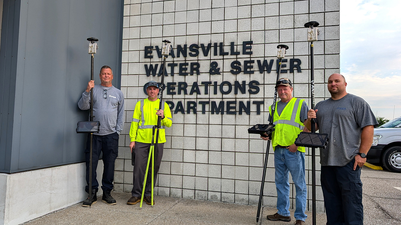
The Solution: Real-Time GNSS Data Collection with Arrow Golds and ArcGIS Field Maps
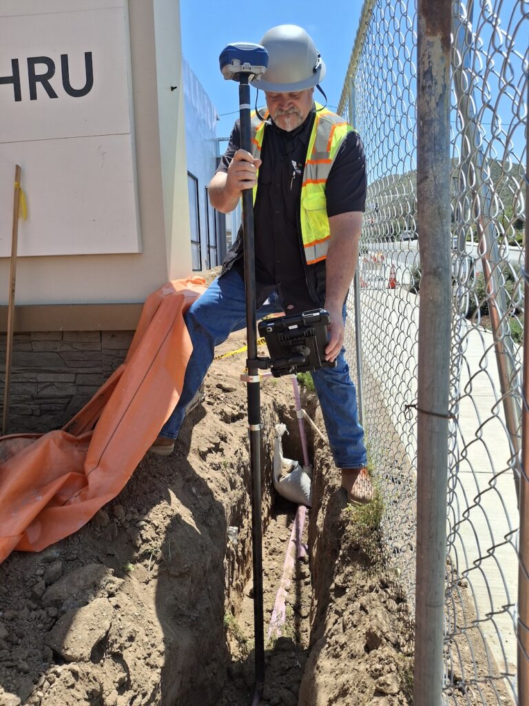
EMWD began using Arrow Gold GNSS receivers from Esri partner Eos Positioning Systems. They chose the Arrow Golds because of their support for the utility’s existing technologies, such as Esri apps, mobile devices, and an existing base station, and because of the ease of getting technical support.
“Technical support with Eos was spot on,” Regalado said. “We can call, and our representative is on top of it.”
The Arrow Golds provided an average one-centimeter horizontal accuracy throughout the service area. The Arrow Golds provided this accuracy in real time, which eliminated the need for post-processing in the office.
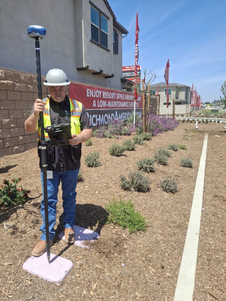
The Arrow Golds connect via Bluetooth to company-issued iPhone and iPad devices running Esri’s ArcGIS Field Maps, which allows the teams to submit as-built information in near real time. Previously, the same task could take up to a year.
“I can literally watch Troy take points in real time,” Lee said.
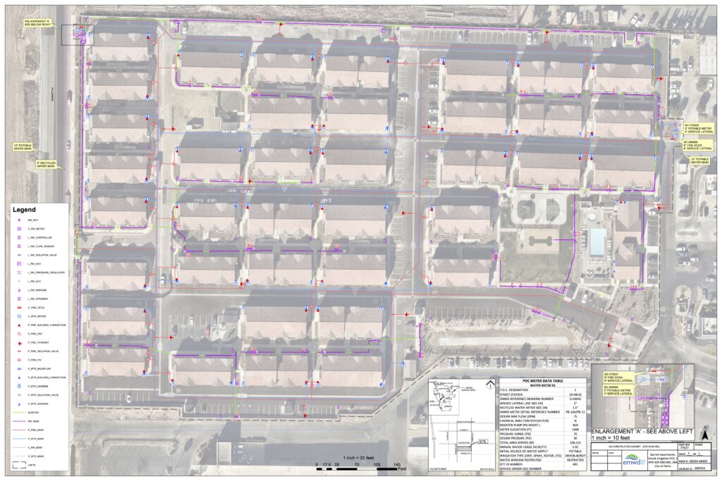
The data appears in ArcGIS Online and enters EMWD’s enterprise geographic information system (GIS), where it is then made available in a utility-wide GIS viewer called HydroMapper, a custom app built on Esri partner VertiGIS’s platform.
“As soon as we take the point, we can see it in HydroMapper in the office,” Lee said.
Staff across departments use HydroMapper to browse system information geospatially. They can locate assets and even perform basic analytics (e.g., buffers, queries, filters). If there’s a leak, for instance, EMWD’s Integrated Operations Center (IOC) uses HydroMapper to look up customer addresses, find cross streets, and locate asset numbers.
“You’d be hard pressed to find a department where it isn’t used,” Lee said.
The Results: Accurate Real-Time As-Builts for the Recycled Water System
Today, the Recycled Water Group is 100 percent powered by Eos and Esri as they capture information about the infrastructure installed in new developments.
“We see the pipes going into the ground right away in the GIS—as accurately as possible,” Golden State Consultants inspector Bobby Toomey said.
All as-built information for recycled-water assets is provided in real time with survey-grade accuracy.
“The amount of processing work we would have to do has gone way down. We’ve streamlined it so much that it’s kind of hard to believe.” —James Lee, Water Operations Manager, EMWD
Increased Field Work Safety and Speed
Meanwhile, the Water Operations Group uses the same mapping technologies to update valve locations during maintenance. In the past five years, they have remapped over 90 percent of EMWD’s valves.
Moreover, when a valve lid is no longer visible on the surface of a road, the technicians use the GNSS receivers to navigate back to the valves.
“When a valve is paved over or covered in dirt, there’s no visible evidence of where it is,” said Brandon Harlacher, a valve technician II at EMWD. “But now we can get to it. When you take that accurate point, you can just go back to exactly where it’s at, even once it’s paved over.”
Accurate valve locations improve shut-off times during incident response. This can translate into less water loss, smaller excavation areas, and fewer minutes that crews need to spend performing traffic procedures to safely enter and exit active construction areas.
“You always want to be able to get to the valve and get out as quickly as possible,” Lee said. “If that valve is under dirt, asphalt, or water, its precise location is of utmost importance.”
The improvements to accuracy have coincided with an even greater demand for geospatial data throughout the water district.
“It seems we are getting more and more people on board using the spatial aspect of our data,” said Janice Nollar-Conrad, an EMWD GIS application developer.
Looking Ahead
EMWD is planning to roll out the same high-accuracy field workflows to their water system and sewer system teams, which don’t yet use survey-grade GPS.
“What we really want is to roll this out to water and sewer, which are more complex systems,” Regalado said. “Our goal is to be capturing all as-builts with GPS.”
EMWD recently purchased three Skadi Golds, a newer GNSS receiver from Eos Positioning Systems that works similarly to the Arrow Gold but offers additional capabilities, such as tilt compensation and a smart-handle configuration.
With Skadi Tilt Compensation, EMWD field technicians can capture as-builts without having to level their range poles.
“This speeds up our field units and enhances accuracy,” Regalado said.
EMWD also just acquired their first Skadi Smart Handle. They plan to use this to map assets in trenches and roads. Thanks to the smart handle’s built-in sensors, they can perform short-distance offsets to map assets without having to enter the trench or road.
“At EMWD, safety is always our top priority,” Regalado said. “With this technology, our crews can capture asset data from a safe distance, such as using a laser instead of working close to a trench. The smart handle allows our technicians to map valves in intersections without initiating traffic control, keeping both our team and the public safe while maintaining efficiency.”
Regalado and her team plan to update their GIS data scheme, so they can take advantage of accurate elevation data to build 3D underground maps. They have begun migrating their data into ArcGIS Utility Network, which will let them perform network modeling and derive deeper insights from their robust GIS.
At the end of the day, geospatial data is playing an even greater role in the daily work of the innovative teams at EMWD, as they serve as conscientious caretakers of California’s water resources.
“Water is too precious to use only once. We must try to reuse it as much as possible. Modern geospatial technology is making it easier to meet our goals and plan for a sustainable future.” —James Lee, Water Operations Manager, EMWD

Stay Connected with Esri’s Water Team
ArcGIS is an extensive information system that enables modernization of workflows with easy-to-use applications for the field and office. Strengthen your organization with geospatial solutions that will increase efficiency and provide insight for decision-makers.
Visit the Esri Water Utilities web site for more information.
Join the Water Utilities Community
Follow #EsriWater on social media: X| LinkedIn
Subscribe to the Water Industry newsletter “Esri News for Water Utilities and Water Resources“