Population data is essential to the work of governments and humanitarian organizations, helping planners anticipate risk, direct resources, and reach the most exposed communities. But while collecting the data is pretty straightforward, pulling it all into a single tool that can be used when decisions need to be made quickly is much more difficult.
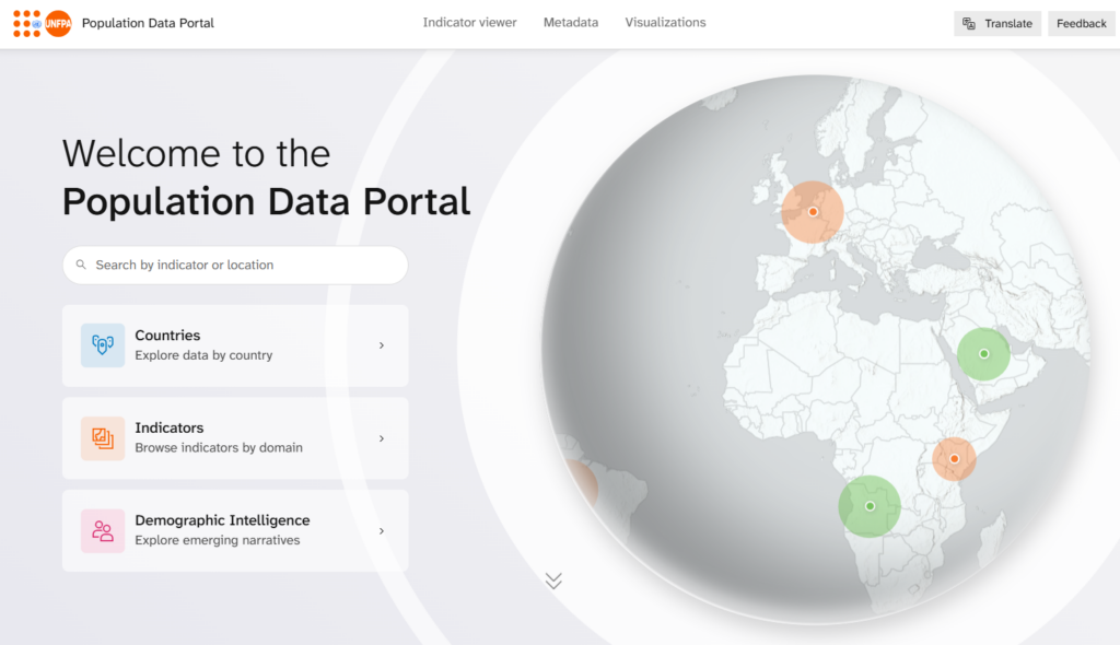
That’s where PopIntel Hack comes in. The United Nations Population Fund (UNFPA) recently launched the Population Intelligence Hackathon in Nairobi, bringing together experts from public health, population modeling, artificial intelligence, and geospatial technology. The goal is to create tools that can turn scattered data into usable population intelligence. The hackathon covers everything from open-source signal detection—through demographic intelligence, population dynamics, and exposure estimates—to operational dashboards.
Esri is proud to be a geospatial technology partner, helping teams turn complex intelligence into usable information products. Using ArcGIS, participants can bring population, climate, health, mobility, and risk layers into the same maps, dashboards, and applications. And, importantly, they can do it on the district and country scale. With ArcGIS Online, ArcGIS Living Atlas of the World, ArcGIS Experience Builder, ArcGIS Dashboards, ArcGIS Instant Apps, and configurable maps and apps, teams can build tools that show overlapping risks, surface population exposures, and answer logistical questions.
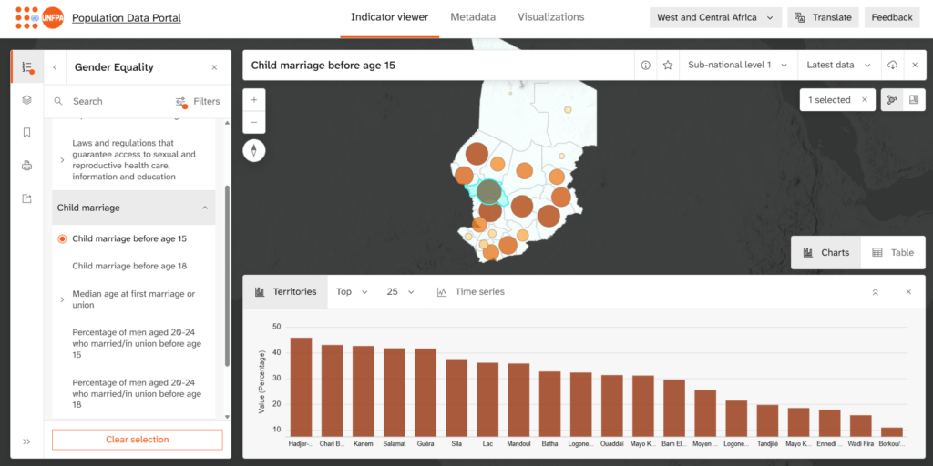
The event is organized in three tracks: Climate Pulse, working on climate-demographic risk and resilience; Safe Futures, covering sexual and reproductive health and rights, maternal health, gender-based violence prevention, and harmful practices; and the Trust Layer, handling country validation and ensuring responsible use of AI tools. Geography runs through the heart of all three of these tracks.
For Esri, the hackathon is part of our mission to put location intelligence to work against the essential problems we face today. When population intelligence is tied to geography, decision-makers can see where risk is forming and who is exposed. The result is a shorter path from data to decision, where we can turn population intelligence into action.