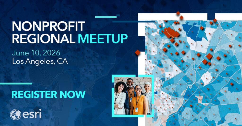
*Request to attend our next Nonprofit Meetup in Los Angeles, CA – June 10, 2026.
We know. You’re busy. You’ve got a mission to run, a team to lead, and a community to serve. But what if one day could help you do all of that, but more efficiently with maps, data, and a room full of people who get it?
We’ve started hosting in-person meetups across the country, and they’re just different than the various nonprofit conferences and webinars we’re all used to. Maybe it’s because this type of forum allows nonprofits to come together and realize that a geographic approach isn’t just a nice-to-have, but it’s the missing piece in solving their everyday challenges. Whether it’s organizing volunteers, understanding community needs, or showing impact to funders, geographic information systems (GIS) help nonprofits connect the dots in ways that feel both practical and powerful.
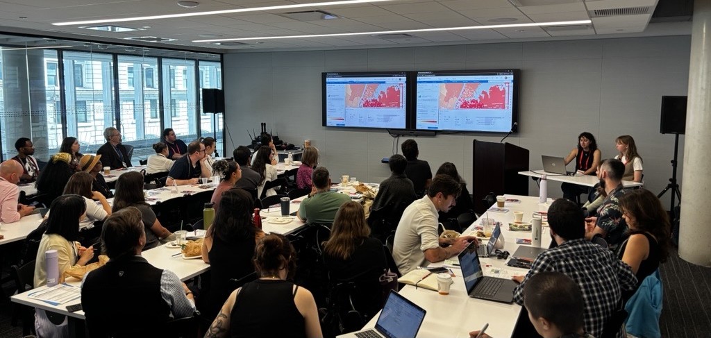
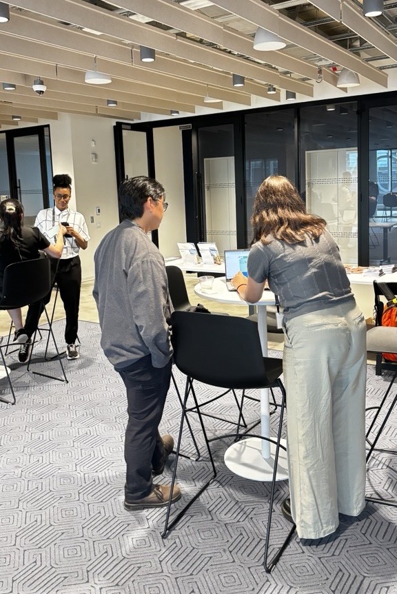
For those of you who plan to join us this year, our meetups are about bringing the community together, hearing each other’s stories and best practices, and turning those into resources that the larger community can take. In fact, so much happens before the Esri Nonprofit Team even kicks off the day, from the moment we open the doors and attendees start trickling in, they’re eager to meet each other, share their work, and learn what others are doing so they can bring those ideas back to their own organizations.
What You’re Missing at Each Meetup
During each meetup, Esri’s Nonprofit Team shows how GIS and spatial analysis support a wide range of nonprofit functions, from volunteer management and community engagement to storytelling and the underrated capabilities our technology offers. But one session recently stood out and sparked the most conversation, “The Secret to Fundraising is Spatial”.
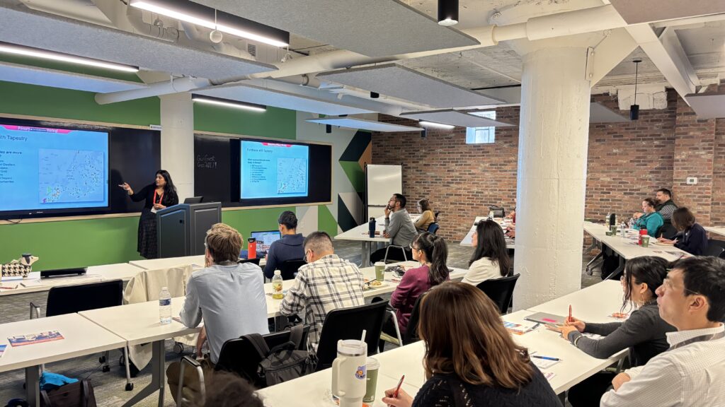
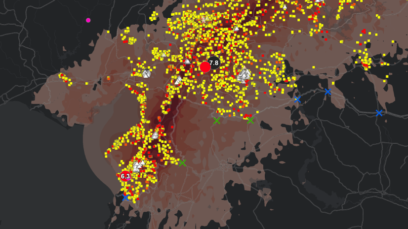
This session revealed how GIS can transform traditional fundraising into a strategic, data-driven effort. Attendees saw how mapping donor locations, enriching profiles with lifestyle data, and identifying “lookalike” communities nearby can unlock new opportunities. Tools like ArcGIS Business Analyst, ArcGIS Tapestry, and ArcGIS Living Atlas of the World can help nonprofits uncover donor patterns they didn’t even know existed, see what certain neighborhoods care about, and how best to reach them.
While fundraising was just one of many GIS applications discussed, it became clear that this is one of the most critical areas for a nonprofit to focus on, especially as nonprofits face shrinking budgets and shifting donor landscapes. GIS offers a way forward, helping organizations build stronger connections with their communities and make smarter, more impactful decisions.
The Conversations You Have Become Real Resources
Sure, we kicked things off with updates on the latest technology and how it can support nonprofits, but the real magic happened when local organizations took the mic. Hearing how peers are using GIS to solve real-world problems, make better decisions, and ask each other questions like “How did you do that?” created the kind of environment you just can’t get from a webinar or from a major conference. These meetups provide an intimate environment for you to build connections and learn from your peers.
In fact, it’s in these in-person events that our team gets to hear users’ work directly as well. Esri supports over 17,000 nonprofit organizations, and it’s hard to hear all of the great stories and work that each one does. This past year, Habitat for Humanity Atlanta attended a meetup, and we heard how they used GIS to allocate $1.4 million in forgivable home repair loans to homeowners in need. Their story went on to be shared with over 300,000 readers in our Esri News for Local Government Print Newsletter. The American Cancer Society presented on how they scaled GIS adoption across their organization, with over 900 individuals using the technology. They’re now presenting at #EsriUC2026.
We know that your success, your hurdles, and your work are the resources others need to hear about.
It’s More Than a Meetup. It’s a Community.
These meetups aren’t about “establishing” a community, because that community already exists. If it didn’t, people wouldn’t go to such lengths to attend. These meetups are about the individuals who show up and the connections they make. We simply facilitated those connections so attendees leave knowing they have peers they can rely on, whether they’re nearby or just an email away.
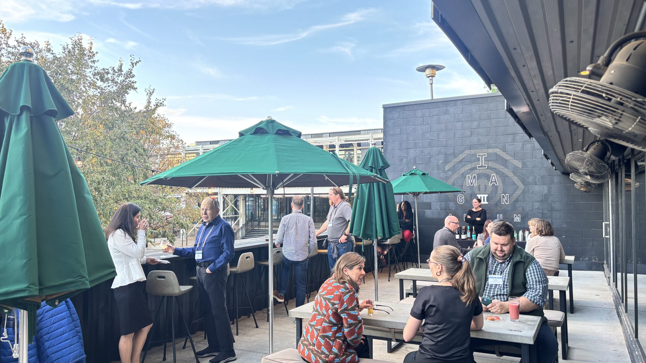
Whether you are a GIS expert or just learning what GIS even stands for, you can be a part of the conversation. Some folks came solo, others brought their IT or data teams. We witnessed attendees helping each other out during the meetup, swapping tips, and brainstorming together. And what a great idea to get others in your organization to these meetups so they can see the value of thinking spatially and using GIS to solve common challenges. Let our team and your peers inspire them to drive GIS adoption even further in your organization.
Attend the Next Nonprofit Regional Meetup
Join us for our next Nonprofit Meetup on June 10, 2026. We’ll be hosting the event at Team Rubicon’s Headquarters in Los Angeles, CA. This all-day event will connect you with fellow nonprofit professionals, Esri experts, and specialized partners who can help you integrate spatial analysis into your organization’s daily operations.
Register now to join us.