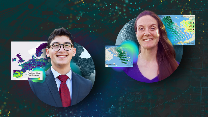
The Los Angeles Geospatial Summit is held for just one day each year at the USC Hotel and is hosted by the Spatial Sciences Institute at USC. This year’s summit took place on February 24, and students had the opportunity to present Lightning Talks, share their geospatial projects with their peers and young professionals, hear presentations from eminent industry leaders, get insights on GIS industry trends, and network with potential employers.
A real highlight of this year’s LA Geospatial Summit was the inaugural offering of the Esri StoryMaps competition, transitioning from what had been a poster competition in the past. Just by submitting a StoryMaps [story] for consideration in the competition, students had a great opportunity to take stock of their academic and research experiences and to integrate them into a coherent narrative.
This year was the first time Esri’s StoryMaps competition was held at the Los Angeles Geospatial Summit. In the competition, students had the opportunity to apply geospatial technology by researching a topic and conducting analysis and summarizing their results through StoryMaps. Esri awarded prizes for the competition in these three categories:
- Most Innovative Use of Technology
- Most Compelling Communication Using Maps
- Most Suitably Applied Methodology or Analysis
This year, three judges were selected for their roles at Esri and the perspectives they could provide to this year’s competition. The judges were:
- Jennifer Bell—Sr. Product Manager ArcGIS Storymaps
- Nawajish Noman—Sr. Principal Product Engineer Spatial Analysis Team
- Andrew Haglund—Higher Education Account Manager
“By shifting the format of the competition to StoryMaps, we increase the reach of the possible, by widening the audience and enabling a dynamic and rich paradigm to share the narrative of projects. As the geospatial world shifts toward a more connected and cloud-first approach, so should our student presentations,” said Andrew Haglund, a judge for the StoryMaps competition.
Below is a summary of each category’s winning project.
Most Innovative Use of Technology
In this category, project entries must reflect innovative use of GIS or a complementary technology, provide a clear explanation of how the technology was applied, and evaluate the use of technology or analysis.
The winning project was An Overview of the USC GeoHealth Hub by Violet “Shiqi” Li and Amanda Rago.
“The USC GeoHealth Hub utilizes Esri’s ArcGIS Hub, an easy-to-configure cloud platform, to organize the data, turn them into meaningful information and present them in an effective and elegant way for supporting the needs of the health-care systems in the Southern California region ,” said Haglund.
The USC GeoHealth Hub is an open data portal created and curated by SSI students using Esri’s ArcGIS Hub Premium to gather and provide publicly accessible health datasets and resources. “This year, with the support of our partners such as Southern California Environment Health Sciences Center and USC Norris Cancer [Center], we expanded the hub [site] by renewing metadata; embedding interactive tools; sharing web pages; and uploading up-to-date spatial datasets [in many categories]—Disease, Addiction, Pollution, Mental Health, etc.,” said the winners.

Interesting additions they made to the hub site include the Environmental Justice Index, which ranks the comprehensive impacts that environmental injustice has on health; the Agriculture Pesticide Mapping Tool, an interactive map that enables users to explore and visualize the Department of Pesticide Regulation’s pesticide-use reports; and the Food Systems Dashboard, which provides users with a complete view of food systems and lets them compare components of these food systems across countries and regions.
By making the geography-based health information organized and easily accessible, it is the team’s goal to connect people easily to the health-focused data they are searching for and introduce them to new resources, or even promote an informed healthy lifestyle.
“The summit is always an exciting event because it’s filled with opportunities to learn, meet new peers, and connect with old ones. Competing in the StoryMaps competition was a great experience because it gave us the ability to be creative with our work in a new way, and I’m so grateful that my teammate and I won!” said Rago.

Most Compelling Communication Using Maps
In this category, project entries must reflect a clear statement of the problem or issue; adhere to cartographic principles; have a clear narrative; and effectively use communication media, design, and layout.
The winning project was Finding Climate Refuge: A Preliminary Analysis of the Joshua Tree Forest in California, USA by Elisa Barrios, a student at USC.
In this project, Barrios presented a GIS model that utilizes climate variables to analyze a suitable range of refugia, pinpointing priority areas in need of adaptation strategies. Specifically, this story details the threats of climate change on the Joshua tree forest in California, provides an overview of suitability analysis, and explains the unfortunate influence climate change will have on the forest.

“Elisa Barrio’s story shares striking multimedia of Joshua Tree, informative map tours of desert forest wildlife, interactive swipe blocks comparing maps, and a strong call to action to address our changing climate,” said Jennifer Bell, a judge for the StoryMaps competition.
The results of this multicriteria decision analysis are outlined using StoryMaps to effectively communicate the need for climate conservation priorities across California. This research utilized a large immersive map layout to accessibly describe a suitable range of refugia in the Joshua tree forest that should be prioritized in future climate adaptation plans.
“A master’s thesis is not just a project but the culmination of all the experience, knowledge, and passion gained in the field and classroom. My thesis is no different—it highlights knowledge gained at USC and my passion for natural lands conservation. The summit provided a platform to showcase my dedication to climate conservation and a megaphone to voice the power of spatial analysis,” said Barrio.

Most Suitably Applied Methodology or Analysis
In this category, project entries must use appropriate analysis tools and have a clear explanation, justification, and analysis of the methodology.
The winning project was EV in LA by Baoqui “Eileen” Chen, a USC student.
“It was a wonderful experience engaging in conversations with scholars, practitioners, and industry professionals at the summit. My EV [electric vehicle] StoryMaps [story] started as a class project advised by USC professor Leilei Duan. I feel excited that my interdisciplinary methodological innovation was able to produce an analysis that inspired EV community members and industry experts as I presented to them and shared my research,” says Chen.
In this project, Chen wanted to describe the supplies and demands of EV infrastructure, because an accurate understanding is crucial to informing sustainable urban planning and development. However, there has not been much research that examines the EV infrastructure landscape and accessibility, or ways to streamline analysis of EV and charger distributions. Featuring the city of Los Angeles as a case study, this project proposes a framework that applies the Two-Step Floating Catchment Area (2SFCA) method and takes into account chargers’ spatial accessibility over 24 hours.
The study found high accessibility in neighborhoods near the downtown area, decreasing toward the city’s peripheries. Additionally, neighborhoods with the most EV registrations tended to not have access to sufficient charging resources. Consequently, the framework identified potential policy advisories for supplementary infrastructures and shed light on sustainability initiatives like the zero-emission zone pilot projects.
This project was about “a very interesting analytical problem that highlights one of the most important challenges with EV,” said Nawajish Noman, a judge for the competition. “Eileen, the analyst, approached this analytical problem very systematically, captured the complexity of the problem in multiple steps, and solved it using appropriate analytical tools with reasonable assumptions. And she finally presented everything in very well-designed and articulated StoryMaps story.”

Resources for Students and New Professionals in GIS
This year’s winning projects were incredible. In all three categories, the winners were determined by unanimous decision by the judges. Resources that students can use for their future submissions and beyond include the following:
- Esri Academy (massive open online courses, certification, etc.)
- Esri Young Professionals Network
- Students in Higher Education website conferences
Learn about last year’s LA Geospatial Summit winners.


