As seen as a feature article in the May Issue of APWA Reporter Magazine
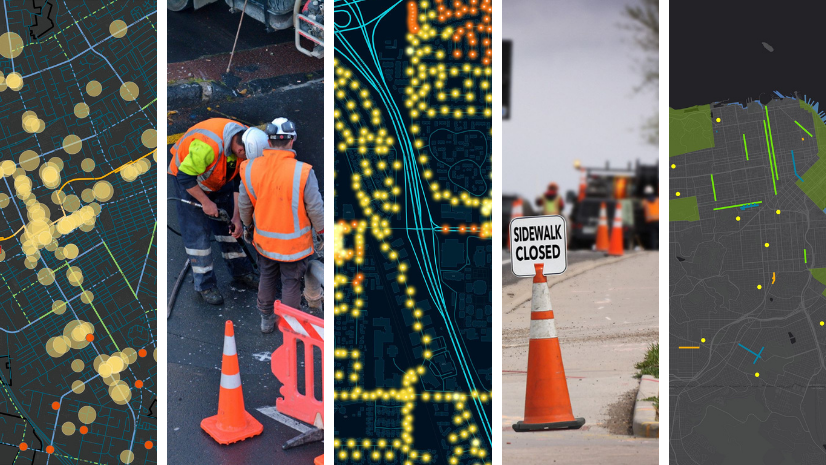
High-performing public works organizations are increasingly embracing data-driven decisionmaking to enhance their operations and service delivery. As they strive to implement this approach, the need for the latest and highest-quality data becomes paramount. To meet this demand, organizations are investing in internet of things (IoT) sensor networks and live data feeds, which are revolutionizing the public works profession by providing elevated metrics and analytics.
One of the most common data feeds being implemented by public works organizations is automatic vehicle location (AVL) systems. These systems track the movements of various vehicles, including street sweepers, garbage trucks, snowplows, mowers, and fleet vehicles. The sensors on these vehicles provide more than just location and speed data; they offer detailed information on vehicle functions. For instance, in winter maintenance, the sensors can indicate whether the plow blade is up or down, and whether the vehicle is applying material to the road surface and at what rate. Additionally, vehicles can be equipped with cameras to collect pavement condition data, asset locations, or AIpowered graffiti detection.
Beyond vehicle sensors, stationary sensor networks are also being used. These include pavement temperature sensors, flood gauges, landfill stockpile temperature sensors, and various facility management sensors such as temperature, humidity, air quality, Wi-Fi signal strength, motion, and door lock sensors. All these sensors have a location, and to optimize the value of the real-time data feeds, they need to be integrated with Geographic Information System (GIS) technology.
Integrating real-time data feeds into GIS opens the data to enterprise location analytics, allowing for easy data visualization and analytics on any device, anywhere, at any time. This integration provides additional context as the real-time data can be visualized and analyzed alongside other GIS data, including external realtime data feeds like weather and traffic. Automated monitoring and alerts further enhance the value of this integration.
Real-Time Examples at Work
The Department of Public Works in Syracuse, New York, employs real-time GIS technology to track snowplow locations, providing residents with near-real-time status updates via online smart maps. This innovative use of GIS enhances operational efficiency, improves transparency, and builds public trust by allowing residents to see plow progress and plan their trips accordingly.
“We can communicate to residents how well we’re doing and then leverage the data that’s being collected to continue to improve our performance—and that’s invaluable,” said Conor Muldoon, deputy chief innovation and data officer for the City of Syracuse’s Office of Accountability, Performance, and Innovation.

The City of Hillsboro, Oregon, Public Works Operations Division uses real-time GIS technology to track street sweeper vehicle locations, ensuring MS4 compliance and reducing the amount of particulate matter, leaves, and debris entering local waterways. By integrating AVL system data with GIS, Hillsboro’s team provides field staff with live updates on sweeper progress, enhancing operational efficiency and transparency.

The Emerald Isle, North Carolina Public Works Department uses GIS technology to manage yard debris collection. The town’s public works department tracks the location of yard waste trucks in real time, allowing residents to see when their debris will be picked up. “Now, we not only can perform annual and seasonal analyses, but we can also give our residents visibility into how hard we work, along with real-time updates, and make decisions based on data. It’s a win-win for everyone,” according to Public Works Director Artie Dunn.

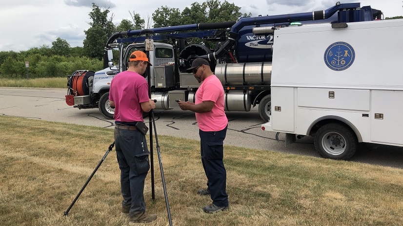
The Solid Waste Authority (SWA) of Palm Beach County, Florida, uses GIS technology to manage thousands of utility and facility assets, processing over 1.75 million tons of solid waste annually. By integrating real-time data collection with GIS, SWA enhances operational effectiveness and methane emission regulatory compliance. Creating a collaborative work environment and supporting an enterprise-wide modernization to facility management have allowed SWA to stay current with technological innovation. “We went from paper and pencil [documentation] that took days and days to get mapped and sent out to everybody. But now, from upper management down to the guys in the field, real-time repair helped us cut down on an unquantifiable amount of cost and time for a given job,” said Josephine Rudd, GIS manager.

Next-generation public works organizations are leveraging real-time data feeds integrated with GIS to enable improved decision-making and realize significant business value. Being a part of the next generation of public works powered by GIS is being at the cusp of innovation and harnessing the power of spatial data to empower operational effectiveness and boost overall efficiency. By integrating IoT sensor networks and live data feeds with GIS, organizations can access high-quality data and analytics. This transformative approach not only enhances the capabilities of public works organizations but also paves the way for a more efficient and effective future.