Chicago is calling — and the agenda is packed.
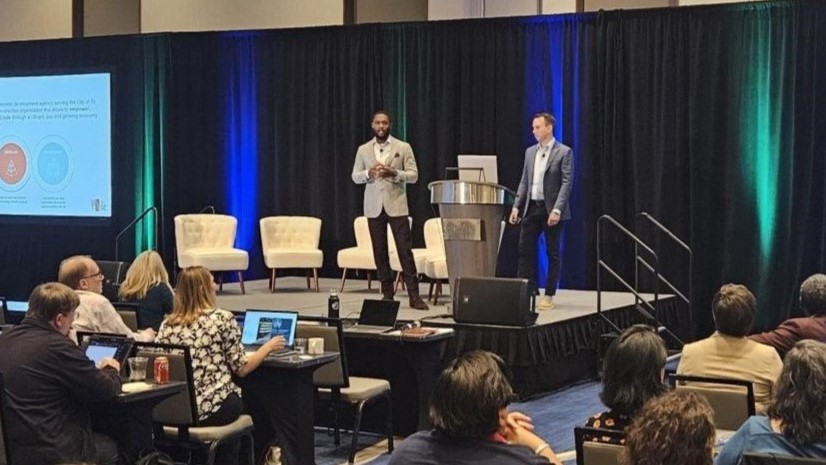
This November 3 & 4, the Esri Planning Directors Summit returns at the beautiful, historic Palmer House in Chicago. Now in its third year, this summit has become something the planning community genuinely looks forward to.
It brings planning and community development directors from cities, counties, and regions of all sizes together to learn from each other and to see firsthand how GIS has become a mission-critical component in modern comprehensive planning, housing policy, zoning reform, public engagement, resilience planning, and economic mobility initiatives.
But let’s be clear about what this event is… and what it isn’t.
This is not a GIS conference. It is not a workshop. It is not for GIS professionals. It is designed for planning leaders to gain a higher-level understanding of how this technology is driving initiatives across the country and to hear about it directly from other planners. The summit gives planning directors space to discuss their challenges, wins, setbacks, and vision with peers who get it. Community has always been one of the greatest strengths of the Esri user base; and the Planning Directors Summit creates that occasion specifically for leaders in planning and community development.
Still need a nudge? Here are four reasons to register now.
1. Learning Sessions Built for Planning Leaders
Over two days, attendees will hear from more than a dozen planning professionals covering topics that most planning departments are actively navigating, including:
- The role of AI in planning
- Updating comprehensive plans
- Modernizing housing policy and zoning reform
- Leveraging innovative public engagement
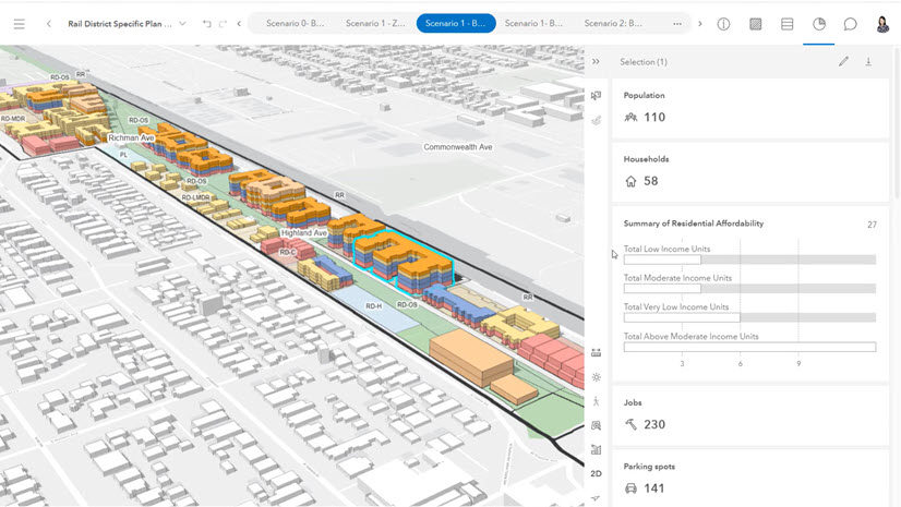
- Implementing digital twins
- Driving sustainable economic development and mobility
Every session ties GIS directly to real planning work, showing how the technology fits into the broader picture.
The goal is not to make attendees fluent in GIS. No one is going home as an ArcGIS Pro expert. The goal is to see the big picture: where GIS plugs in as a foundational system across planning projects. The agenda runs as a single track with concise 25-minute presentations. Multiple networking breaks are built in to encourage idea-sharing, along with panel discussions that give attendees a chance to ask questions and go deeper on the projects that resonate most.
2. Program Updates Worth Clearing Your Calendar For
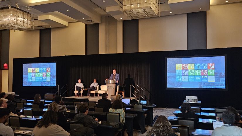
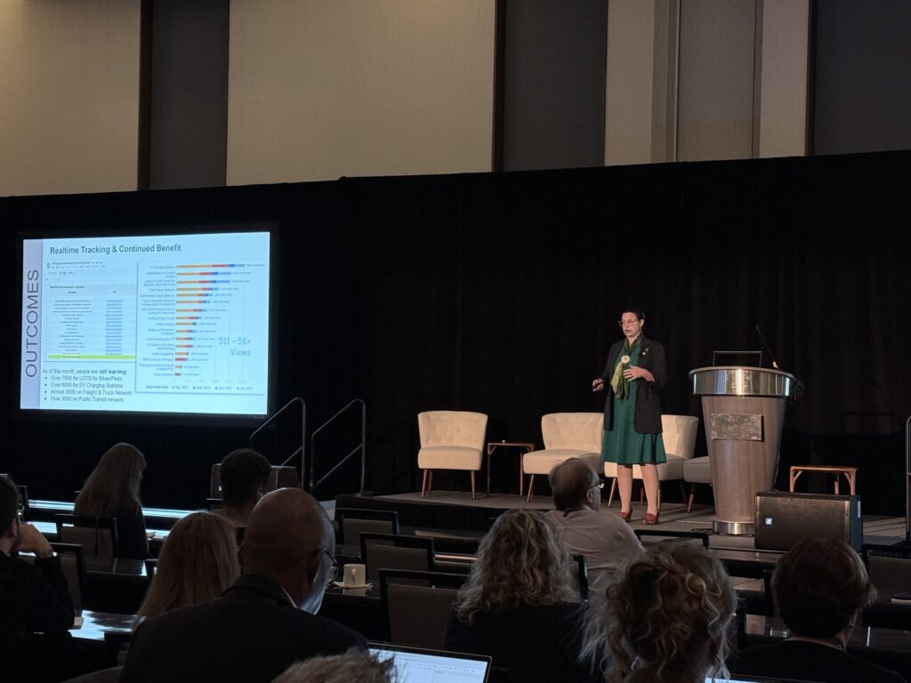
Mixed into the agenda are several must-attend program updates. Jason Jordan, Principal of Policy and Public Affairs at APA, alongside will deliver a key legislative update, outline APA’s strategic approach to engaging lawmakers, and explain what this means for planners across all jurisdictions. Jason has presented at both previous summits — and there’s a reason attendees are always scribbling notes and photographing his slides. With the 21st Century ROAD to Housing Act now law, his update is essential viewing. Silvia Casas, Product Manager for ArcGIS Urban, ArcGIS CityEngine, and ArcGIS Solutions, will deliver a high-level overview of ArcGIS as a Planning System, the kind of session that will have you impressing your GIS staff when you get back to the office.
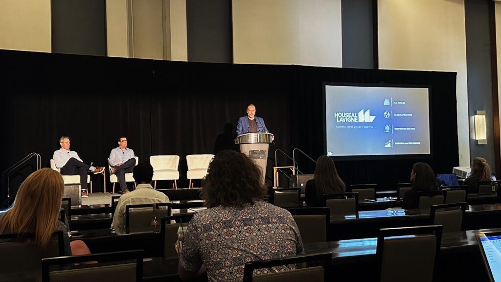
Christine Ma, Strategy Lead for Digital Twins, will demystify the concept of planning digital twins in a way that will genuinely resonate with planning leaders. You hear about digital twins and AI constantly. This session will put both into a practical, day-to-day context. And don’t miss the team from summit sponsor and Esri Partner, Houseal-Lavigne. Their expertise in integrating cutting-edge technology with award-winning plans made them a standout at last year’s event, and this year’s presentation is set to be just as inspiring, if not more so.
3. Networking That Actually Matters
In 2017, a keynote at the Big City Planning Directors Institute left a lasting impression: these leaders deeply valued time spent learning from peers, yet rarely had enough opportunities to do so. That insight was the driving force behind creating this summit.
It’s a chance to sit across from fellow planning directors from cities, counties, and regions of all sizes and have real conversations about shared stories, successes, and challenges. This year, the evening reception will be hosted at the headquarters of the American Planning Association. It’s a rare opportunity to connect directly with APA staff, and the views aren’t too bad, either.

4. Earn CM Credits Toward Your AICP Accreditation
Through a long-standing agreement between APA and Esri, planning-focused presentations and workshops qualify for CM credits and attendees can claim them after the event. Last year, 11 credits were available, and we expect the same this year. Maintaining AICP accreditation can be tough in a leadership role — the Planning Directors Summit helps you knock out a significant portion of those credits in just two days.
Join us this November in Chicago.