After a great deal of discussion internally and with our planning clients across the country, we are excited to announce we will be hosting the inaugural Esri Planning Directors Summit. Let me go over the who, what, where and why of this decision.
What
First, let’s discuss the “what” aspect. The Esri Planning Directors Summit is an opportunity for planning and community development directors within local, regional, and state government to learn about the modern role of GIS in planning.
Why
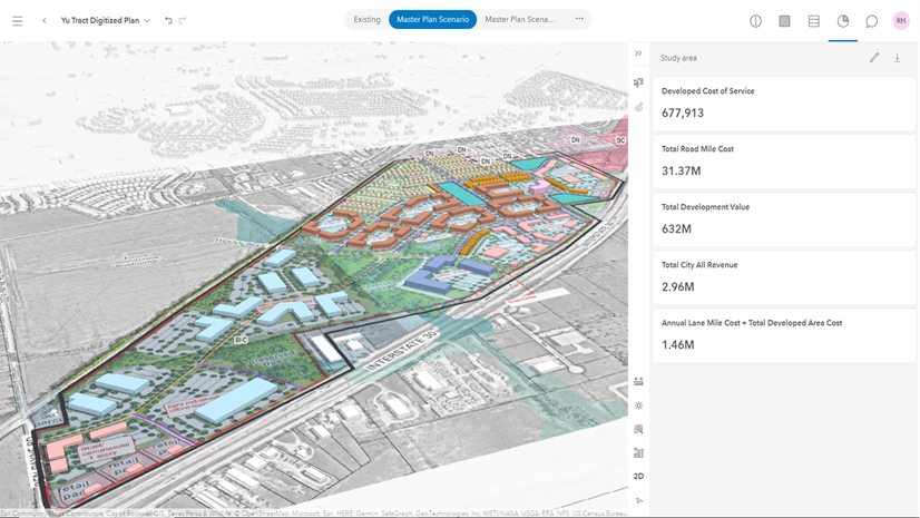
So, why do we think this is necessary? The role of GIS in planning departments across the nation and around the world has grown exponentially, particularly in the last decade. We’ve seen this in simple tasks like workflow optimization where GIS is used to derive mailing lists for rezoning petitions, streamline field data collection from inspectors, and understanding and mitigating blighted properties and neighborhoods. There have been numerous integrations of GIS with permitting that provides greater value and insight into this mission-critical system of record for planning. We’ve seen GIS used for scenario planning to help planning departments become more proactive than reactive in their development and growth decisions. And we’ve seen GIS used as the engine for a modern approach to public engagement.
For a great number of planning directors, many of whom came up in departments where GIS was unheard of or not fully utilized, it can sometimes seem overwhelming to stay up to speed with this rapidly evolving technology. We want to provide an event where planning directors can discover how geospatial solutions are being used by planners today to optimize daily tasks, develop justifiable policy, and design equitable and sustainable solutions.

Who
That leads us to the “who” aspect. We believe that a summit strictly for planning directors is a useful way to communicate these trends. Planning directors are the decision makers in a planning department. While many GIS users are planning directors (a number that is consistently growing), we think it is essential that these leaders understand the big picture, so this summit will not be a series of feature functionality software demonstrations. It will instead consist of real life, repeatable, and relatable case studies, most of which will be delivered by planning professionals. The summit will also provide an opportunity to connect and engage with other planning directors to share ideas and discover new opportunities. So, while we love our GIS users and planners, we are making this event for planning directors.
Where
Finally, the “where”. We will be hosting this summit in West Palm Beach, Florida on November 6-7, 2024. In the next few months, we will be publishing our agenda.
There are a lot of events working to get your attention, but if you’re a planning director, we hope you’ll strongly consider the value of what the Esri Planning Directors Summit can provide you.
To request to attend and to find out more information, please click here to go to our registration page.


