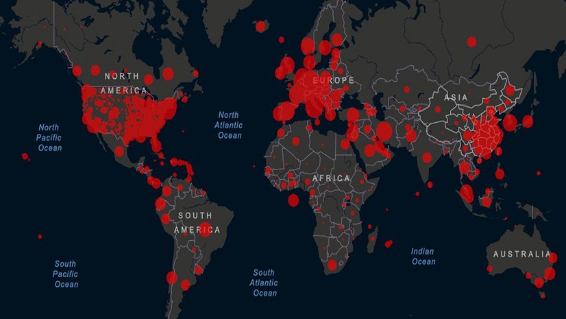
The world of healthcare is continuously evolving, driven by technological advances, and changing operational demands. Over the last 5 years, the spotlight has moved toward a detailed look inside the walls of our healthcare facilities. We’re now focusing on building smarter healthcare infrastructures enabling streamlined workflows in wayfinding, asset tracking, facility and space management, capacity management, and security.
Hospitals today are swiftly embracing these technological changes to enhance the quality of their service, patient satisfaction, and internal operations. ArcGIS Indoors by Esri is one such tool that embodies the next step in healthcare digitization. This platform crafts a digital twin of the healthcare infrastructure, integrating traditional geographic information system (GIS) data with real-time data, financial data, CAD, and BIM data to create an intuitive virtual representation of the real-world processes within a healthcare facility. Take a look.
The Value of Wayfinding in Healthcare
Navigating through a hospital’s intricate layout can be a daunting task for both visitors and patients. The traditional means of navigating these spaces, reliant on human direction and static signage, have proven inefficient. They are unable to account for differences in access authorizations, variations in travel mode (walking, wheelchairs, etc.), and they cannot flex in emergency situations, like when exits are blocked, or elevators are unable to be used. Thankfully, the digital transformation era is reshaping this experience with ArcGIS Indoors.
Consider the numbers: healthcare staff spend an estimated 4500 hours annually assisting lost patients, equivalent to a staggering financial burden of over $220,000 in labor costs. Additionally, nearly 77% of hospital patients and visitors report a reduction in stress and improved overall experience with digital wayfinding. Moreover, missed appointments, often linked to navigational challenges, lead to losses exceeding $150 billion annually.
ArcGIS Indoors offers a progressive solution to these challenges. It provides:
- Indoor-Outdoor Navigation: A comprehensive navigation system spanning the entire hospital campus
- Floor-Aware Directions: Seamless navigation across multiple floors and buildings
- Multi-modal Routes: Routes that consider different mobility needs, such as wheelchair accessibility
By integrating ArcGIS Indoors, hospitals can significantly improve patient satisfaction and reduce operational inefficiencies, ensuring that patients and visitors can effortlessly reach their destination.


Caring for Your Investments with Asset Tracking
While wayfinding is an operational challenge, asset tracking presents another significant hurdle. A registered nurse colleague of mine illustrated the severity of the issue, stating she spent half her time at the hospital searching for the equipment required for patient care, such IV pumps and poles.
Losses stemming from unaccounted assets run into millions. Santa Clara Valley Medical Center reported losses exceeding $11 million over four years due to missing items. Furthermore, an incident in 2016 saw equipment worth $50,000 from United Memorial Medical Center appear on eBay.
ArcGIS Indoors provides a robust solution to these problems. Tracking via sensors and tags you place on crucial medical assets, ArcGIS Indoors offers:
- Improved Inventory Management: Ensures critical supplies are readily available, facilitating maintenance and sanitization scheduling
- Cost-Effectiveness: Enhances equipment utilization, negating the need for unnecessary inventory purchases
- Automated Clinical Inventory: Empowers staff to prioritize patient care by delivering real-time inventory data
Incorporating ArcGIS Indoors can revolutionize how hospitals manage their assets, fostering an environment where equipment is readily available, maintained correctly, and tracked effectively.
Streamlining Day-to-Day Work in Facility Management
Hospitals and healthcare facilities are the lifeblood of the health industry, and their operations, safety, and capacity are paramount. ArcGIS Indoors has the potential to revolutionize this space.
Facility management in healthcare encompasses more than just infrastructure and equipment. It’s a complex undertaking meant to ensure an exceptional environment of care while safeguarding both patients and staff. Hospital facility managers, as the orchestrators of this work, bear the responsibility of understanding a facility’s design, its medical and non-medical equipment, and the nuances of ensuring smooth operations while containing costs.
Proactive maintenance stands as the cornerstone of facility management. Drawing a parallel to healthcare itself, just as regular health check-ups reduce morbidity and mortality in people, preventive maintenance of facilities is cost-effective and essential. Specifically, proactive approaches are found to be five to eight times more cost-efficient than reactive ones.
ArcGIS Indoors allows facility managers to visualize work orders, determine priority levels, navigate to specific locations, and submit status reports seamlessly. The efficiency it brings to the table is profound. Imagine a scenario where facility managers can use a mobile app to check maintenance tasks in real-time, integrate with external software like ServiceNow, and even allow other staff or authorized individuals to crowdsource reporting of problems. Such a comprehensive workflow from problem identification to resolution, facilitated by a singular platform, is invaluable.
Beyond these, day-to-day operations in facility management with ArcGIS Indoors may include:
- Establishing maintenance programs to reduce equipment downtime, improve safety, increase labor efficiency, and extend equipment life
- Identifying repair or renovation needs through regular inspections
- Ensuring compliance with regulations like the Americans with Disabilities Act
- Managing the continual upkeep of certifications and accreditations, like those issued by The Joint Commission
- Overseeing utility network management and trace what may be impacted downstream by a break in the infrastructure
- Certifying life safety and fire safety standards are met
- Inspecting patient rooms, waiting rooms, operating rooms, etc. for cleanliness and orderliness
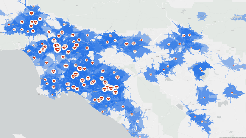
Space Management: Navigating the Post-Pandemic World
The COVID-19 pandemic altered the way spaces within healthcare facilities are viewed and utilized. For instance, regular rooms needed to be quickly converted into intensive care units or isolation wards. Space management, thus, became more dynamic and vital than ever.
ArcGIS Indoors plays a pivotal role. Its ability to categorize spaces based on function facilitates quick repurposing in emergencies. Moreover, visualizing various types of spaces will aid in modeling, scenario planning and considerations of accessibility. Which spaces are public and which ones have access restrictions? The importance of understanding and visualizing space utility cannot be overstated, especially in our new normal.
Furthermore, in this new era, the traditional work model has been disrupted. Not all staff need to be on-site all the time. Do we then still need dedicated offices for everyone? Or can we optimize space utilization using more modern strategies like hoteling or hot-desking? Healthcare facility managers must grapple with these pressing questions, and using tools like ArcGIS Indoors, they can find answers.

A Crucial Element: Capacity Management
Capacity management is a challenge most healthcare institutions face, irrespective of their size. From bed shortages leading to longer emergency department waiting times to last-minute surgery cancellations due to unavailability of rooms, the ripple effects of capacity issues are extensive and costly.
ArcGIS Indoors offers a unique perspective here. It provides an operational view of facilities, leading to efficient staffing, better space allocation, and reduced costs. With such a tool, facilities can monitor critical spaces, understand distributions, and even take additional steps toward preventing hospital-associated infections.
Safety and Security: The Ever-Present Need
Ensuring safety and security in healthcare facilities is a perpetual concern. ArcGIS Indoors offers solutions for real-time surveillance, allowing managers to understand congregation points, monitor security staff, and even predict potential incident zones. Such capabilities are instrumental in guaranteeing that hospitals remain the safe havens they are meant to be.
Beyond surveillance, ArcGIS Indoors ensures that buildings comply with essential security standards and facilitates the management of access, determining who can enter or leave a facility.
Moreover, hospital preparedness planning, an integral part of safety and security, gains a significant boost with ArcGIS Indoors. The tool aids in marking evacuation routes, ensuring power supply during emergencies, maintaining essential supply inventories, and more.
A Promising Future Ahead
As the healthcare sector evolves, the integration of advanced tools like ArcGIS Indoors becomes indispensable. It offers a comprehensive indoor mapping and location system, supporting SMART buildings that connect data and business systems in a way that not only streamlines operations but prepares hospitals for the future. Hospitals that integrate these technologies will not only improve their internal operations but will also vastly enhance the patient and visitor experience. By leveraging GIS inside healthcare facilities, we’re paving the way for a more resilient, efficient, and patient-centric healthcare ecosystem.
For more information visit our website to remain connected.