The maritime transportation system plays a central role in global commerce and national security. Every day, ports handle massive volumes of cargo and passengers, serving as critical hubs in the movement of goods, energy, and information. This scale, while essential, also brings complex risks that require continuous monitoring and rapid response. From smuggling and trafficking to cyberattacks, infrastructure sabotage, and extreme weather events, today’s threats are more dynamic and more distributed than ever. In this environment, maritime domain awareness is a mission-critical capability.
In Securing the Maritime Transportation System: A GIS Concept of Operations, we outline a step-by-step approach for applying GIS to maritime domain awareness. This new resource shows how location intelligence empowers security professionals to monitor port activity, detect anomalies, and manage threats with clarity and speed across the entire operational landscape.
Seeing the Whole Picture
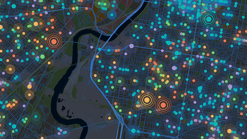
ArcGIS brings together data from radar, AIS, cameras, sensors, field reports, and intelligence sources. With GIS, security teams can monitor vessel movements, detect anomalies, and enforce geofences around restricted zones. Pattern analysis and historical overlays help identify unusual behavior, such as loitering, route deviations, or activity near high-value targets. GIS also supports threat escalation protocols, incident triage, and automated alerts. This ensures the right people are informed when and where it matters most.
Supporting Real-Time Coordination
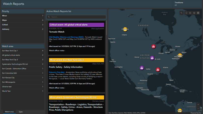
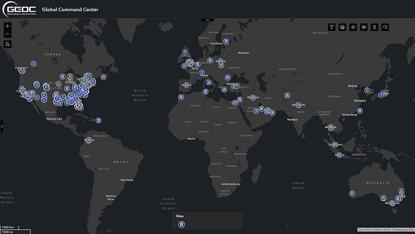
Maritime security requires coordinated action across many agencies and jurisdictions. Port authorities, the Coast Guard, customs, law enforcement, and private operators all need access to the same operational picture. ArcGIS provides that shared platform. Through interactive dashboards, mobile apps, and secure data layers, GIS improves situational awareness and helps teams make informed decisions faster. Whether responding to an emerging incident or preparing for a large-scale event, agencies can collaborate with confidence.
Enhancing Preparedness and Resilience
Beyond daily operations, GIS also supports long-term planning. Agencies can use ArcGIS to conduct vulnerability assessments, simulate hazard scenarios, and build emergency response plans based on terrain, infrastructure, population, and weather risk. Meanwhile, mobile GIS tools allow field teams to inspect assets, report anomalies, and stay connected with command centers. These tools also support training, after-action reviews, and performance analysis, helping teams refine their strategies over time.
Maritime Security at Every Scale
The technical paper offers practical guidance for:
- Real-time threat detection and anomaly monitoring
- Vessel tracking, geofencing, and behavioral analysis
- Port surveillance and infrastructure protection
- Interagency coordination and field operations
- Emergency planning, resource management, and response
- Training, simulation, and after-action reporting
These workflows are designed to help maritime agencies build a modern, scalable security program grounded in spatial awareness.
Read the Full Paper
This resource provides a proven approach for integrating location intelligence into daily operations, strategic planning, and crisis response across the maritime environment.
Download the technical paper to see how ArcGIS strengthens maritime security and domain awareness.