“We always overestimate the change that will occur in the next two years and underestimate the change that will occur in the next ten. Don’t let yourself be lulled into inaction.”
-Bill Gates
Trying to understand and estimate the short and long-term impacts of COVID-19 is especially difficult as we’re still in the midst (though hopefully on the downhill side) of this pandemic. There are some immediate changes that are still underway that will likely affect how urban and community planning, along with housing and economic development policy, will be impacted in the years to come.
Counter-Urbanization
If you’ve followed this blog series and posts on social media, you’ll know this is something we’ve been emphasizing for several months now. People are leaving urban centers in droves for several reasons. Cities in lockdowns are unable to provide the amenities to which many people were initially drawn. Working from home has become acceptable on a much larger scale, meaning people that moved to cities to be closer to work no longer find the requirement to live there. Finally, mortgage rates are at historic lows. All of that adds up to people having fewer reasons to live in smaller residences at higher costs. Single-family home building rose 12% in December, according to the Commerce Department. That’s just under 1 ½ million new units. April 2020 was the last month that number didn’t increase. Housing starts in total rose nearly 6%.
It’s important to understand that this trend was starting before the pandemic. According to the U.S. Census Bureau, major cities lost a net of 2.5 million people in 2019.
For urban planners, this likely means a decrease in residences and almost certainly a decrease in multi-family residence starts. However, given this lower demand, this may be an opportunistic time to help dictate and update policy on providing affordable housing. History has proven these trends are cyclical, so prioritizing affordable housing…while housing is more affordable…will have long term positive effects for your city.
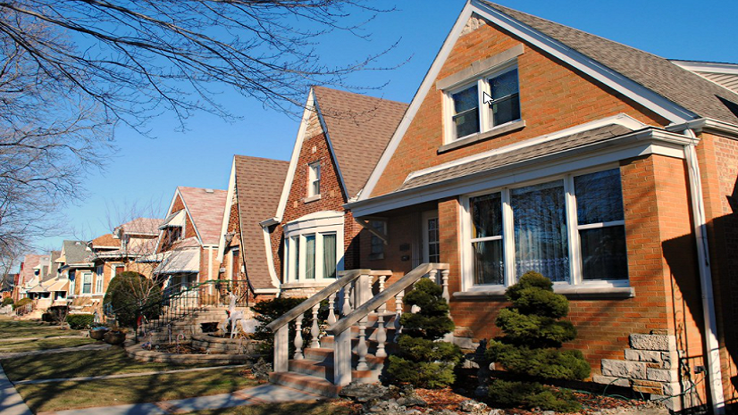
Suburban and rural planners, especially those who may have seen growth slow in the last decade as more people moved back to urban centers, are likely already experiencing growth beyond what their comprehensive plans predicted. The temptation may be to immediately create more single-family residential than had been planned. In fact, there may be political pressure to make that happen. Make sure this development is sustainable. I’m of the mindset that single-family residential, in and of itself, is not some evil to be avoided. In fact, it can be tailored to create walkable communities with access to services, retail, offices, etc. Remember, demand is higher than ever and supply is lower than ever, so while there may be pressure to develop quickly, use that to your advantage to design communities that meet the needs of the public, but also create more sustainable communities that will thrive long after this surge has slowed.

Changes in Retail
The transition that retail is experiencing is also not new. Based on numbers from the U.S. Census Bureau and the Federal Reserve Bank of St. Louis, the percentage of e-commerce sales to total sales increased from 4% in 2010 to over 16% in 2020. Again, this was a trend that was moving upward before the pandemic, but e-commerce numbers skyrocketed in the face of COVID-19.
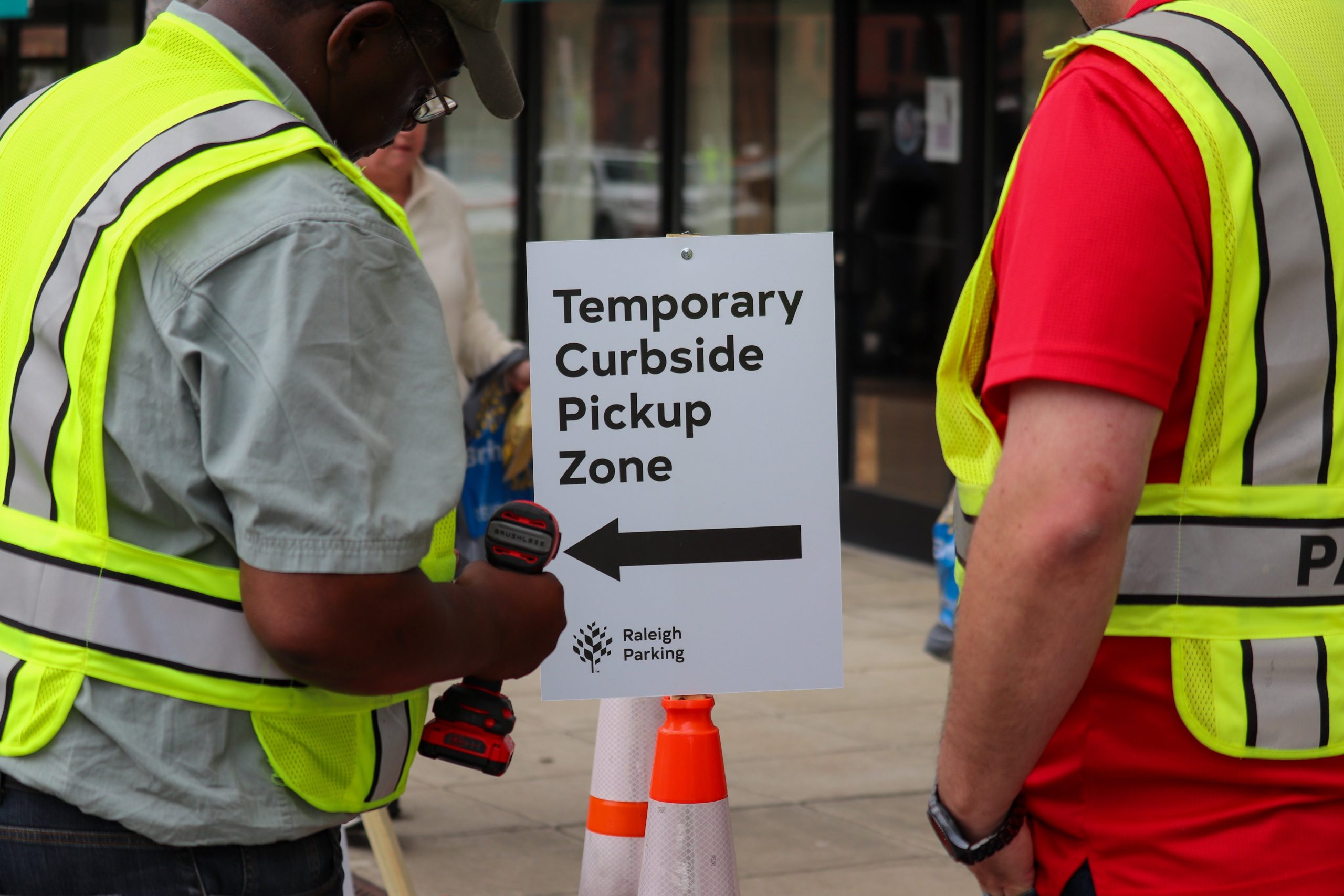
Mall retailers saw huge dips in revenue last year, while big-box stores increased sales dramatically. It’s imperative that smaller, local retailers be given every reasonable accommodation to stay in business and eventually thrive again. For planners, this can mean assigning more space for curbside pickup or for delivery services. As much as anything, though, it requires listening to the needs of the small business community. Citizen engagement in this time is more important than ever, and going in with preconceived notions about what businesses and the public need before listening could come back to haunt you.
Curbside Management
Finally, curbside management is another trend that was gaining traction prior to the pandemic, but COVID-19 accelerated how cities would deal with this. Typically, this refers to the space in between streets and the city sidewalks. In the past, this almost exclusively dealt with freight loading and unloading, bus lanes, bike lanes, and streetside parking. Today, those still exist, but they have to share space with ride-share services, increased delivery services (retail and restaurant), and in many cases, expansion of outdoor seating for restaurants and bars.
The key for planners is to balance short-term needs with long-term desires for the neighborhood. For example, what would be the cost/benefit of closing a street segment to motorized vehicles, allowing bikes and pedestrian traffic only, and allowing expansion of seating for local businesses? It’s important to not be short-sighted about this. Changing even one block of a city center has significant impacts on the surrounding area, so modeling, analyzing, and visualizing these proposed plans is key for planners, administrators, business owners, and the public.

Take the next step: If you are a planning professional and want to take your community through a digital transformation with ArcGIS tools for homelessness and housing, download our new ebook here.


