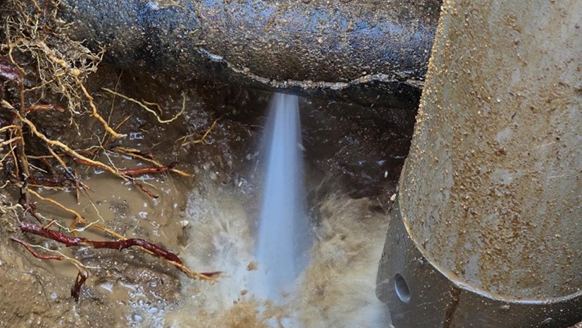
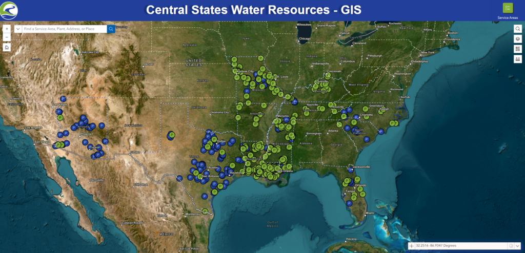
Central States Water Resources (CSWR), one of the fastest-growing regulated water and wastewater utilities in the US, acquires and restores distressed water systems in rural and underserved communities. With nearly 1,000 systems across 11 states, CSWR needed a unified geospatial strategy to increase visibility, enable digital transformation, and drive sustainable growth.
Challenge
As CSWR expanded rapidly, it encountered significant challenges integrating newly acquired utilities into its operational framework. Many systems relied on paper records or lacked any digital mapping data, resulting in disparate legacy systems that hindered consistency and accuracy.
Limited interoperability between asset management and geographic information system (GIS) platforms further constrained operational visibility and performance tracking. These data silos made it difficult to effectively coordinate maintenance, manage risk, or plan capital improvements.
Additionally, CSWR’s database structure needed to be rebuilt to support the organization’s rapidly expanding, geographically distributed assets. Managing data across hundreds of utilities placed a growing burden on IT resources and limited the organization’s ability to adapt quickly to new acquisitions.
To sustain its mission and continue expanding, CSWR needed an enterprise-wide GIS platform that would be cloud based, fully integrated, and designed to support long-term growth through standardized technology and governance.
Solution
CSWR’s strategic geospatial technology partner 1898 & Co., part of Burns & McDonnell, led the design and implementation of a comprehensive GIS modernization initiative, leveraging technologies from Esri, ROK Technologies, and Novotx. The project began with an enterprise assessment to define architecture, governance standards, and a phased road map for deployment across all operating regions.
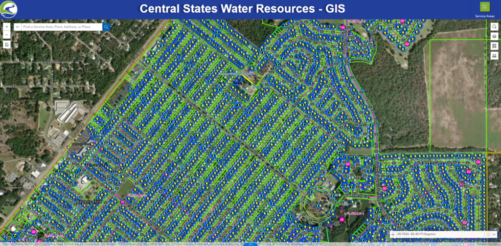
The team standardized spatial data schemas, migrated GIS data into a centralized ArcGIS Enterprise environment, and configured web-based data services to support daily operations. This established a repeatable, scalable model for integrating future acquisitions.
To enhance performance and reduce IT overhead, CSWR migrated ArcGIS Enterprise to a fully managed cloud-hosted environment by ROK Technologies. This architecture provides continuous system reliability, secure remote access for distributed teams, and elastic scalability that allows for rapid onboarding of new utilities without major capital investment.
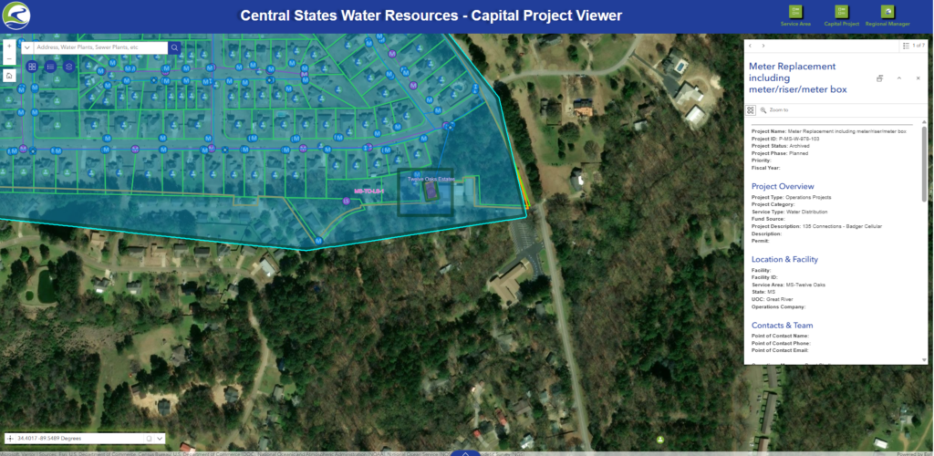
Integration of Elements XS by Novotx created a unified enterprise asset management (EAM) environment directly connected to ArcGIS. This integration introduced mobile-friendly field workflows, a centralized asset registry, automated work order generation, and configurable dashboards for real-time performance and compliance monitoring.
Through an Esri enterprise agreement (EA), CSWR gained flexible access to ArcGIS technology across all business units. This agreement streamlined licensing, simplified software deployment, and provided organization wide access to Esri’s training and support resources—enabling consistent adoption and long-term sustainability.
Results
Together, these solutions unified GIS, EAM, and cloud infrastructure into a single, cohesive platform. The system now supports data governance, spatial analytics, and operational decision-making at an enterprise scale, driving measurable improvements in efficiency, accuracy, and service delivery.
The impact extends beyond technology. As CSWR Vice President Mike Duncan notes, “ArcGIS Enterprise and [ArcGIS] Online have transformed the way our company thinks about our data. Having a geospatial data tool accessible to our entire organization has given our team a common platform for communicating across multiple teams and unifying data across our departments. ArcGIS has quickly become an essential part of our enterprise IT platform enabling our mission to bring safe, reliable water resources to every community.”
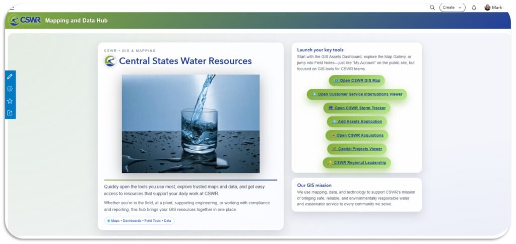
CSWR’s enterprise GIS modernization has transformed how the organization manages its growing utility portfolio. Newly acquired systems are integrated within weeks, accelerating operational readiness and reducing transition costs. The centralized, spatially enabled platform enhances maintenance planning, asset tracking, and regulatory compliance across all service territories.
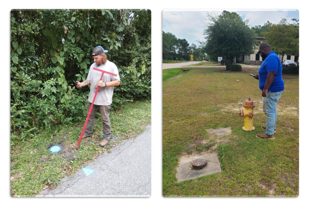
Mobile tools and digital workflows have replaced manual documentation, improving data accuracy and field efficiency. Cloud-hosted infrastructure provides for continuous system reliability and scalability, and it has enabled consistent access for more than 450 users across 11 states less than a year after implementation.
The modernization initiative represents a critical milestone in CSWR’s mission to deliver safe, reliable and sustainable water services. Through close collaboration with 1898 & Co., Esri, ROK Technologies, and Novotx, CSWR has established a resilient, future-ready geospatial foundation that supports operational excellence and continued growth.
By integrating technology, data and people through a unified GIS strategy, CSWR is redefining how water utilities manage infrastructure, setting a new benchmark for modernization in the US water sector.
ArcGIS has quickly become an essential part of our enterprise IT platform to enable our [industry’s] mission to bring safe, reliable water resources to every community in the US.
Mike Duncan, Vice President of Central States Water Resources

ArcGIS is an extensive information system that enables modernization of workflows with easy-to-use applications. Strengthen your organization with geospatial solutions that will increase efficiency and provide insight for decision-makers. Visit the Esri Water Utilities web site for more information.
Stay Connected with Esri’s Water Team
Join the Water Utilities Community
Follow #EsriWater on social media: X | LinkedIn
Subscribe to the Water Industry newsletter “Esri News for Water Utilities and Water Resources“