Ryan Lanclos
Ryan Lanclos is Esri’s Director of National Government and Public Safety Solutions and a subject matter expert on geographic information system (GIS) technology for emergency management. He helps organizations deploy GIS to improve preparedness and leads the global Disaster Response Program, which provides GIS support during disasters. A former appointed member of the Federal Emergency Management Agency (FEMA) National Advisory Council in the US, Lanclos currently serves on the International Advisory Board of Integrated Research on Disaster Risk (IRDR) for Japan and the XPRIZE Wildfire Advisory Board. He has also served as Missouri’s first geographic information officer (GIO), GIS advisor for the Governor’s Homeland Security Advisory Council, and Director of State and Local Government at the National Alliance for Public Safety GIS (NAPSG) Foundation. Lanclos holds a Master of Science in Cartography and GIS from the University of Wisconsin–Madison, and Bachelor of Arts in Geology from Centenary College of Louisiana.
Posts by this author

Plan Your Time at the Esri UC: National Government, Public Safety, and National Security
Plan your Esri UC 2026 experience with tailored agendas, summits, and networking for government, public safety, and GIS leaders.
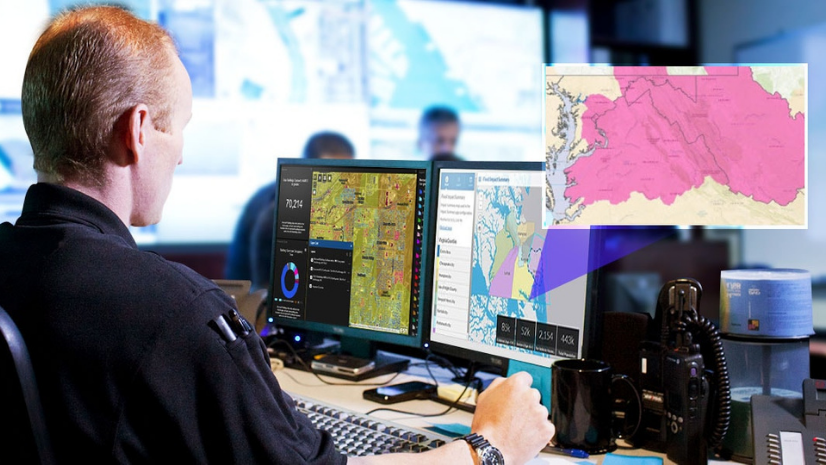
FEMA’s Resilience Analysis and Planning Tool Supports All Phases of Emergency Management
With FEMA's latest web-based mapping tool, communities can dive deep into location data for a more comprehensive view of resilience.
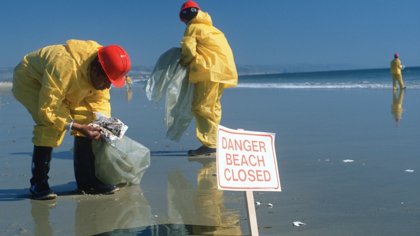
What to Do When Fragile Infrastructure Fails: a GIS Emergency Response Playbook
GIS emergency response playbook helps you apply the geographic approach to your incident response including the recent oil spill in California.
New Data Hub Improves the Features of over 250 Datasets
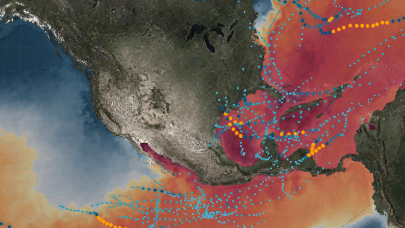
Staying Ahead of the Next Disaster — How GIS Is Advancing in Disaster Management
Risks from natural disasters are greater than ever & they must be incorporated in how to build, sustain, & improve emergency management.
Call for Code: National Hurricane Preparedness Week
As climate change makes hurricanes more intense, geographic information systems (GIS) can help us prepare.