Most recent
One Company, Two Utilities: Utility Network Assessment
TXNM combined PNM and TNMP GIS's using the ArcGIS Utility Network.
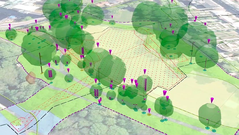
Environmental Consulting: Enhancing Communication, Efficiency, and Decision-Making with Esri's GIS Solutions
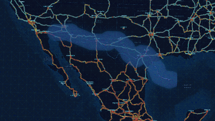
GIS and the Homeland Security Enterprise

Digital Twins at the 2024 Esri User Conference

The Planner’s Guide to the 2024 Esri User Conference
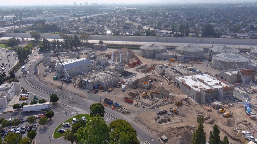
Esri Water|
Modern Data Management Brings Critical Business Systems Together

Securing the Maritime Transportation System: A GIS Concept of Operations

Must See - Autodesk at the UC

Esri Water|
Innovation leads to a State-of-the-Art GIS for a Regional Sewer Utility
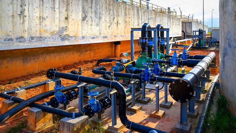
5 Resources I Wish I Had Known about before Working at Esri
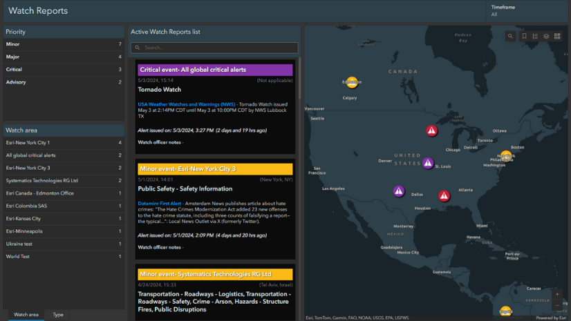
Announcing Esri’s New Watch Center Solution!
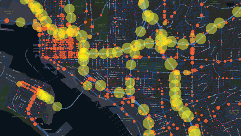
The Public Works Industry at the 2024 Esri User Conference