
Most recent
One Company, Two Utilities: Utility Network Assessment
TXNM combined PNM and TNMP GIS's using the ArcGIS Utility Network.

Multiple Authors|
Taking Initiative: How Proactive Communication Launched My GIS Career
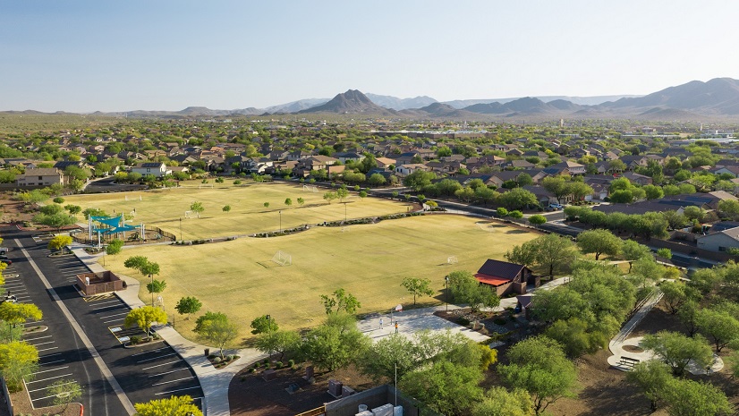
Park Perspective Series: The Value of Parks & Recreation and the Need for Smart Operations

Can the Grid Handle the New Energy Reality?
Esri AEC|
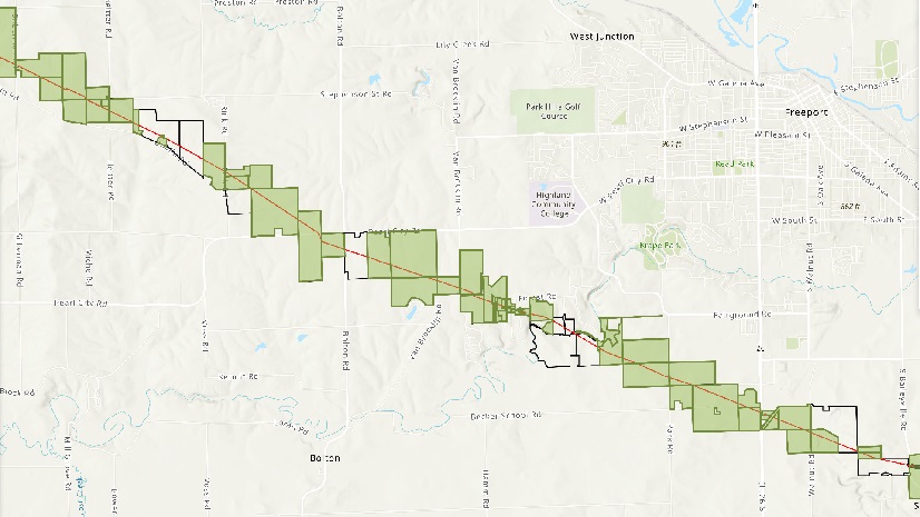
Geoenabling a Land Management Workflow
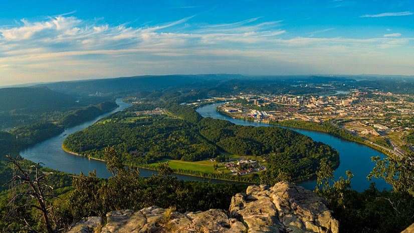
Park Perspective Series: Unveiling the Dynamic Role of Parks in Our Communities with GIS
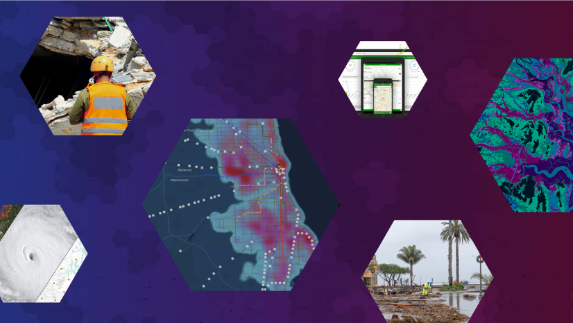
ArcGIS Guide—Questions and Answers for Emergency Managers
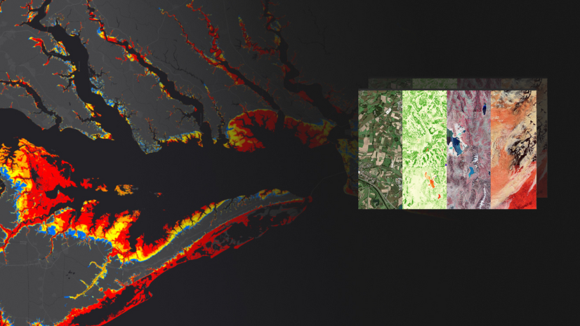
How-To Blog Series: ArcGIS Resources for Organizations that are Minimally Staffed and Funded

How-To Blog Series: Is ArcGIS an Eligible Expense for Federal FEMA Preparedness Grant Funding?
Esri Water|
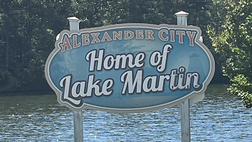
From Recollection to Precision: Alexander City's Tech Evolution in Sewer Management

Ricklyn Hukriede| July 19, 2024
Understanding Climate Change on the Flathead Reservation
Ricklyn Hukriede| July 19, 2024
Harmony with Nature: Samish 13 Moons

Esri Water|