Most recent
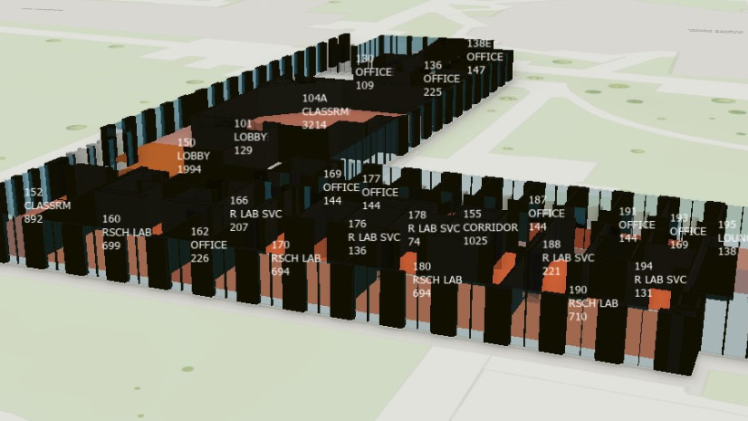
One Company, Two Utilities: Utility Network Assessment
TXNM combined PNM and TNMP GIS's using the ArcGIS Utility Network.
Esri AEC|
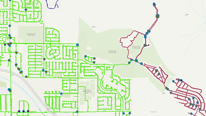
GIS Modernization at Indio Water Authority (IWA)

Multiple Authors|
Key Takeaways from the US Fire Administrator’s Summit 2023

APA’s Passport Taking a Geographic Approach to Learning

Route Optimization for Thanksgiving Meal Deliveries
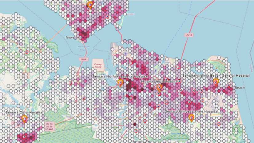
Applying GIS for Enhancing Network Health & Equity
Esri AEC|
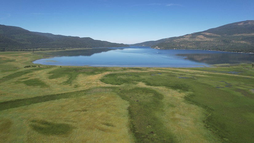
Swan River National Wildlife Refuge Wetland Restoration Project

Esri AEC|
Stormwater Construction Activity Management for Bus Rapid Transit

Creating Local Capacity in Community Disaster Resilience Zones
Esri Water|
Cary Utilities Department Uses Predictive Modeling to Determine Service Line Material

Esri AEC|
Empowering Concord Township with GIS Solutions
Recap: buildingSMART Fall Summit 2023 - Shaping the Future of Open Data Standards for the Built Environment