Most recent
One Company, Two Utilities: Utility Network Assessment
TXNM combined PNM and TNMP GIS's using the ArcGIS Utility Network.

GIS Technology Advances White House Executive Order

What Makes the North American GIS Rail Summit So Valuable?

Indoor GIS in Healthcare: Transforming the Way Facilities Operate

Multiple Authors|
From Creating Maps to Executive Leader: Haseeb Malik’s Journey to VP of Data Operations
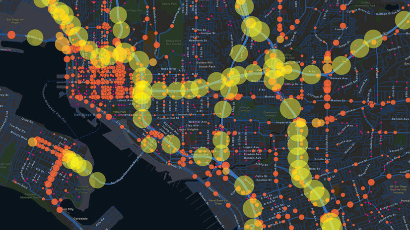
What to Look Forward to from Esri at PWX 2023

How Do You Navigate Esri Mobile Apps? K.I.S.S.!

Esri Water| August 10, 2023
Esri Water at WEFTEC 2023

What PRO Housing Means for Planners
Unleash the Power of Geospatial Intelligence at Fiber Connect 2023: Visit the Esri Telecom Booth for Cutting-Edge Solutions

Multiple Authors|
Businesses Have a New Tool to Fight Climate Disruptions

Multiple Authors|
Unveiling a GIS Path: Chima Okoli's Inspiring Journey of Internships, Networking, and Career Aspirations