
Most recent
One Company, Two Utilities: Utility Network Assessment
TXNM combined PNM and TNMP GIS's using the ArcGIS Utility Network.
Esri Water|
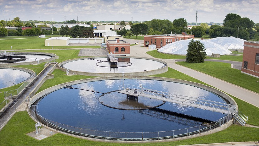
Enterprise GIS Supports Efficiency and Output at Madison Metropolitan Sewerage District

Communicating with Data: Modern GIS Is Web GIS and Storytelling

Multiple Authors|
American Prairie Advances Conservation and Restoration With GIS
Multiple Authors|
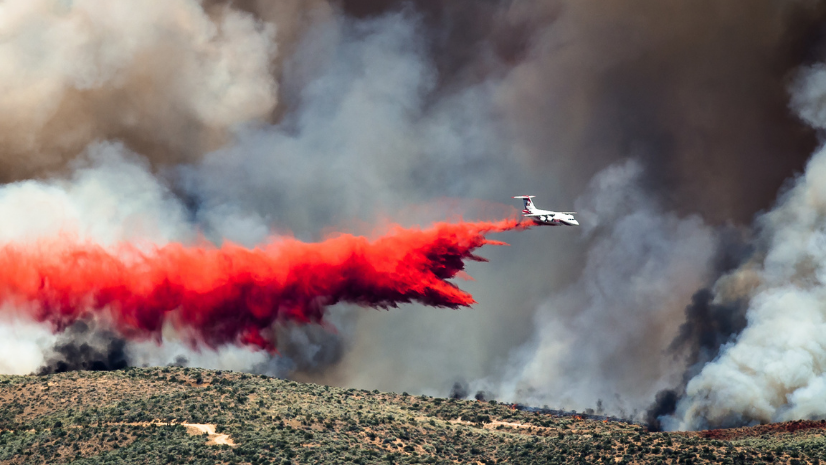
A Holistic Approach to Managing Wildland Fire Risk with ArcGIS
Esri Water|
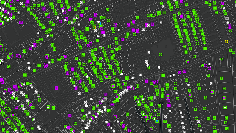
GIS Reduces the Burden on the Suffolk County Water Authority for the Lead and Copper Inventory
Esri Water|
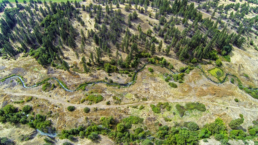
Increasing the Pace and Scale of Conservation through More Efficient Mapping

A tale of two sessions – Digital Twins large and small

An ArcGIS Utility Network Reading List - Electric Utilities

Mapping the Way to Fairness: How GIS is Revolutionizing Equity in Zoning
Brian Boulmay|
The Power of Portal

NRF 2023 Observations and Reaction
