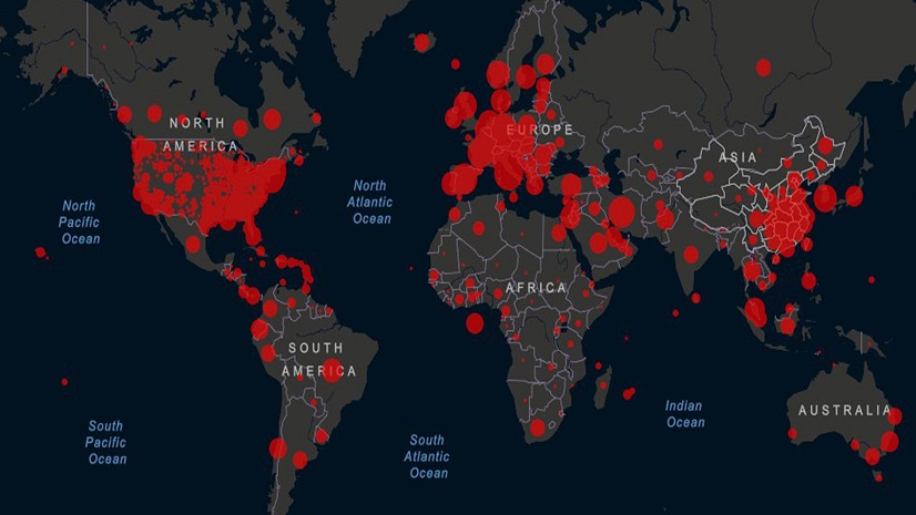
Most recent
One Company, Two Utilities: Utility Network Assessment
TXNM combined PNM and TNMP GIS's using the ArcGIS Utility Network.
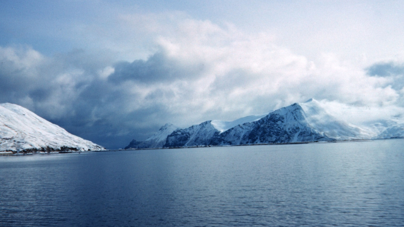
Learning a Life Lesson About Risk at an Early Age While Fishing in Alaska
Multiple Authors|
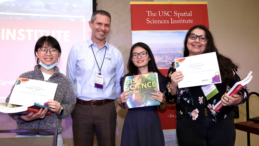
Competition Enables Students to Share Their Geospatial Projects

Esri at HIMSS 2023: Building a Stronger Healthcare System Through Geospatial Technology
Multiple Authors|
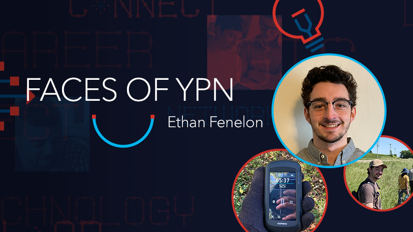
Transferring GIS Skills from College to Career
Transforming Incident Response: Elevating Technology Functions in the National Incident Management System
GIS, AI, BIM and the AEC Industry – Delivering Beyond Expectations
Electric Utility GIS Mobility Reading List

Planning for the Future: A Geographic Approach to the National Planning Conference
Nanette Star|
5 Ways Your Environmental Health Work Will Improve with a Geographic Information System
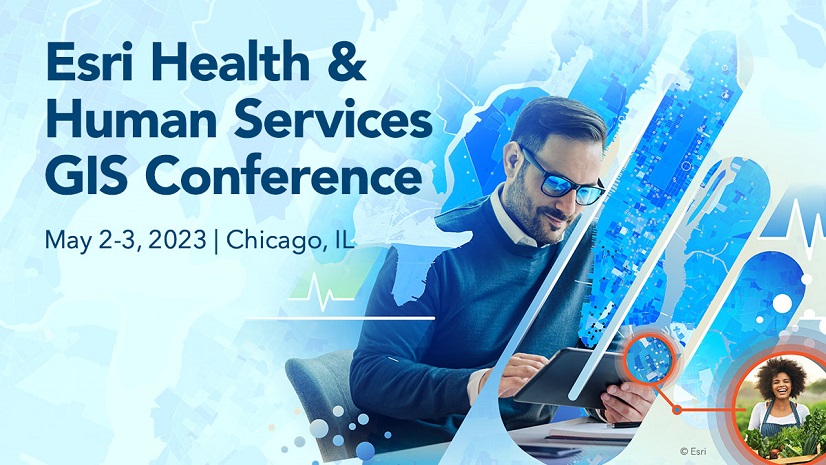
5 Excellent Reasons to Attend the 2023 Esri Health and Human Services GIS Conference
Esri Water|
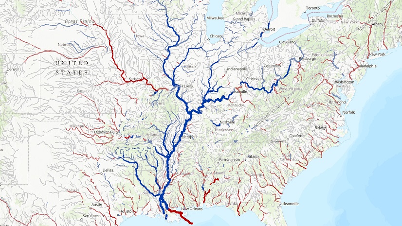
Forecasting the Impact of Flood