Most recent
One Company, Two Utilities: Utility Network Assessment
TXNM combined PNM and TNMP GIS's using the ArcGIS Utility Network.
Learn by Doing: GIS Specialist Shares Tactics on Career Advancement

Multiple Authors|
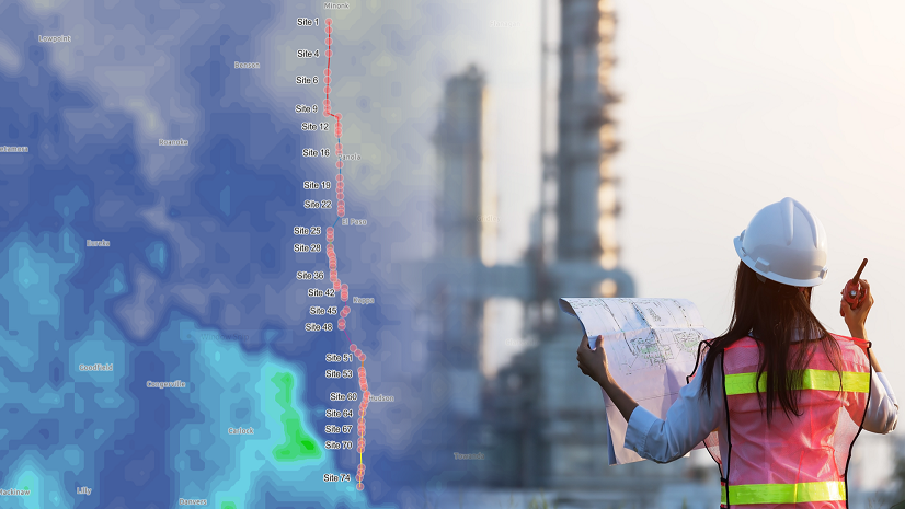
Supporting Jobsite Safety with Location Intelligence
Don't Follow the Latest Trends—Follow Your Passion!
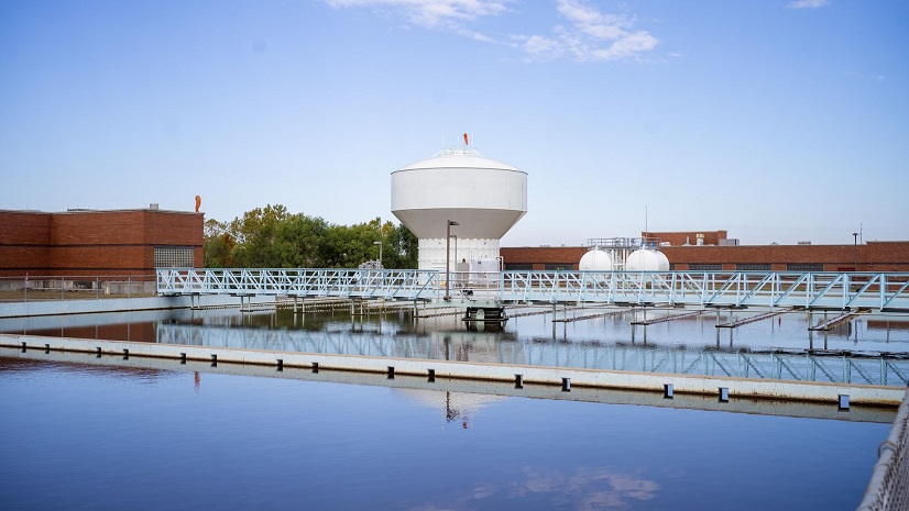
Esri Water|
CAD to GIS—Work Management and Asset Management All in One Place

Multiple Authors|
From Intern to Executive Assistant: How an Internship Can Be Transformative
Finding Conservation Hope - Earth Day 2023
Multiple Authors|
Synchronizing Construction Schedules to ArcGIS Enterprise and ArcGIS Online
Multiple Authors| April 21, 2023
Equity Across Environment and Conservation
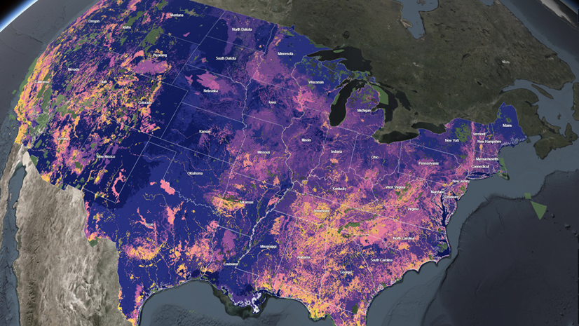
On This Earth Day, GIS Is More Relevant Than Ever

Esri YPN Chapters Coming to a Region Near You!

GIS Enhances Land Surveying Student Competition