
Most recent
Esri at the 2026 National Recreation and Park Association (NRPA) Conference
Visit Esri at NRPA 2026 in Philadelphia and discover GIS solutions for smart parks and recreation.
Multiple Authors|
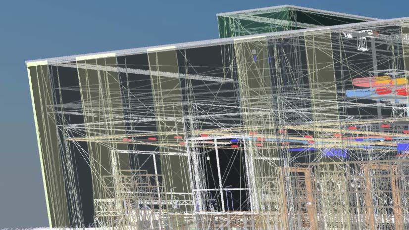
Free: Project Delivery Subscription Scripts

Lo-Ruhama Westbrook| November 11, 2021
Esri at SAF 2021
Christa Campbell| November 8, 2021
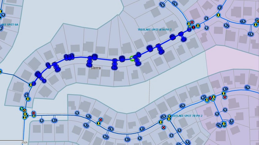
Modernizing Network Management: Becoming a Data-Driven Organization

Elevating GIS Education: Leveraging ArcGIS Hub for University Students and Faculty Support

ARP Act Funding for Planning, Housing, and Economic Development

Health GIS Initiatives that Align with Federal Funding Programs

Two Big Ideas in Utility Customer Care

Join me at the Esri Infrastructure Management & GIS Conference
Lawrie Jordan| October 13, 2021
Smart Technology Provides Valuable Context in Critical Situations

Francis Kelly|
Making it Easier for You to Select the Right Partners for Your Needs
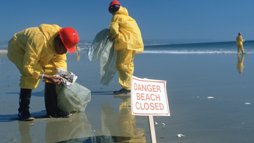
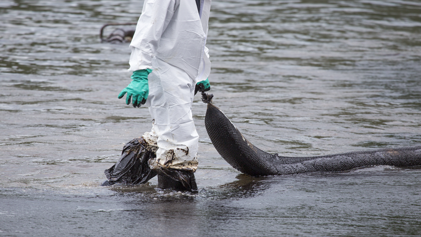
What to Do When Fragile Infrastructure Fails: a GIS Emergency Response Playbook