Most recent
One Company, Two Utilities: Utility Network Assessment
TXNM combined PNM and TNMP GIS's using the ArcGIS Utility Network.

Francis Kelly|
Making it Easier for You to Select the Right Partners for Your Needs
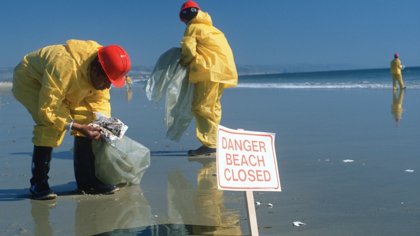
What to Do When Fragile Infrastructure Fails: a GIS Emergency Response Playbook

Your Quick Guide to Securing ARP Funding for Your Health GIS Strategies

Single Sign-On Expands GIS across the District
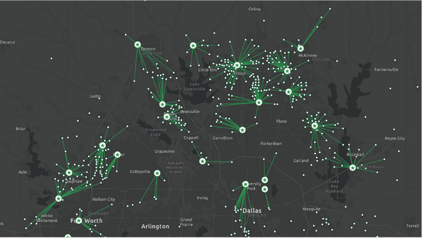
Building Adaptive Fulfillment Networks for Increased Resiliency & Efficiencies
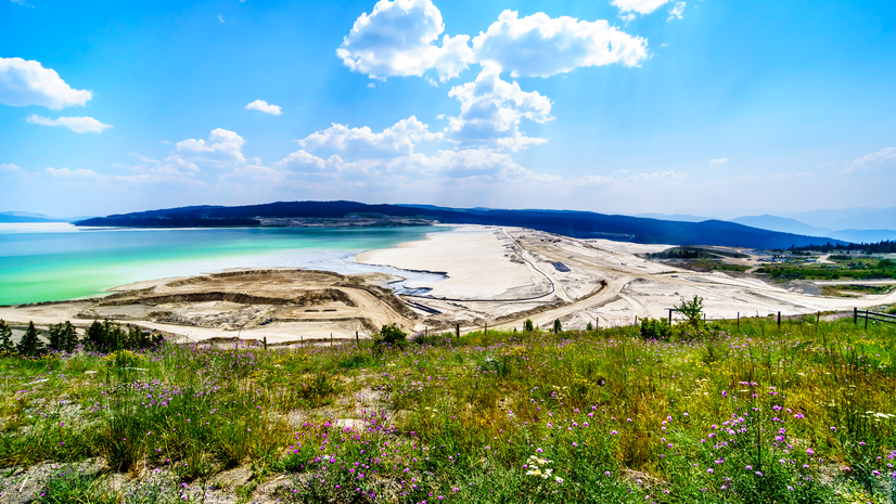
Geospatial Technology Helps Improve Tailings Management
![[Video] Nespresso Receives “Making A Difference Award” at Esri User Conference 2021](https://www.esri.com/en-us/industries/blog/app/uploads/2021/09/blog826nespresso.png)
[Video] Nespresso Receives “Making A Difference Award” at Esri User Conference 2021

BIM My GIS - 3 Approaches and a Few Tips Along the Way

The Digital Twin You Use Everyday
Dangermond Fellows Making a Difference in Our World
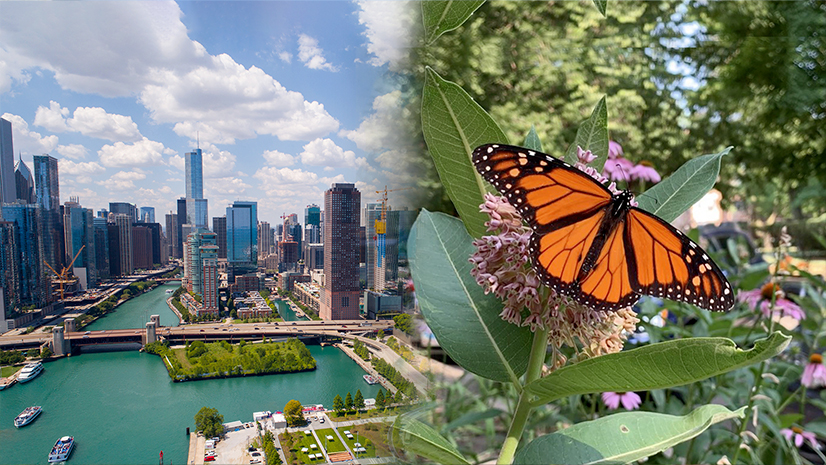
Nonprofits Use GIS for Grassroots Community Engagement