
Most recent
One Company, Two Utilities: Utility Network Assessment
TXNM combined PNM and TNMP GIS's using the ArcGIS Utility Network.

FEMA's Resilience Analysis and Planning Tool Supports All Phases of Emergency Management
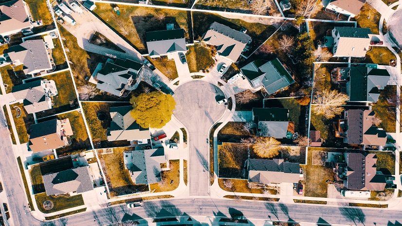
Dispatchable Locations Are Getting Easier

Multiple Authors| November 24, 2021
What Happens in the Arctic does not stay in the Arctic
Multiple Authors|
Free: Project Delivery Subscription Scripts

Lo-Ruhama Westbrook| November 11, 2021
Esri at SAF 2021
Christa Campbell| November 8, 2021
Modernizing Network Management: Becoming a Data-Driven Organization

Elevating GIS Education: Leveraging ArcGIS Hub for University Students and Faculty Support
ARP Act Funding for Planning, Housing, and Economic Development

Health GIS Initiatives that Align with Federal Funding Programs

Two Big Ideas in Utility Customer Care

Join me at the Esri Infrastructure Management & GIS Conference
Lawrie Jordan| October 13, 2021