Most recent
One Company, Two Utilities: Utility Network Assessment
TXNM combined PNM and TNMP GIS's using the ArcGIS Utility Network.

Teaching Programming for GIS, Part 2: Web Programming
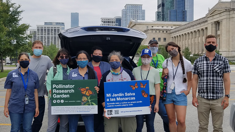
Esri User Conference 2021 for Nonprofits & NGOs
Multiple Authors|
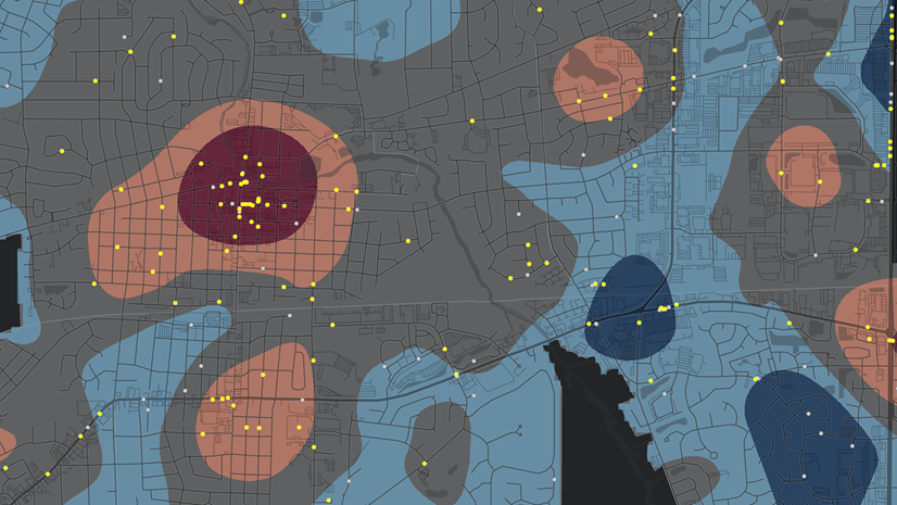
Problem Location Analysis using the Crime Analysis Solution

Patrick Huls|
Digital Twins, where GIS and Reality Capture come together

New Data Hub Improves the Features of over 250 Datasets
Yasaman Kazemi|
Four Steps to Get Started with Supply Chain Sustainability

Leveraging Conservation Technologies to Protect the Places We Love
Multiple Authors|
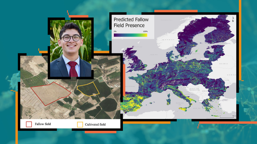
USC Student Wins Discovery Scholar Award Using R-ArcGIS Bridge to Study Land Fallowing in Europe
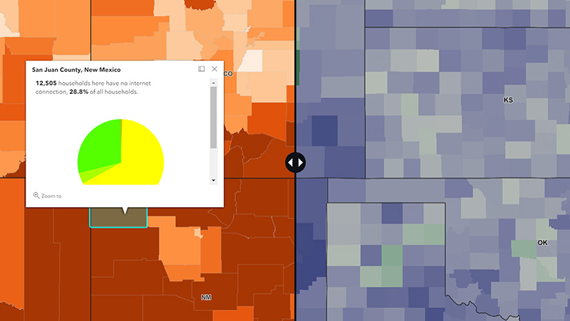
Maps Are a Change Agent's Best Friend

ArcGIS – A Foundation for Operations Excellence

A School District Leads the Way