
Most recent
One Company, Two Utilities: Utility Network Assessment
TXNM combined PNM and TNMP GIS's using the ArcGIS Utility Network.
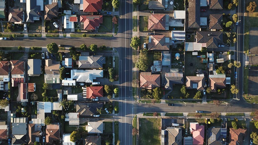
GIS for 9-1-1, An Enterprise Approach: What's Your Schema?

Successful Retailers Find Location Intelligence is Critical to their Business

A Strong Foundation for GIS – What It Means for Planning Professionals

Community-Based Learning in the Age of COVID: University of Wisconsin-Madison’s Fond Du Lac and North Area Planning Study

Location and Policy Development for Housing

Yasaman Kazemi|
Breaking Down Silos in Supply Chains with IoT

Terry Bills|
Transportation in the US after COVID-19: Part Six - Strategic Infrastructure Investment with GIS
Christa Campbell|
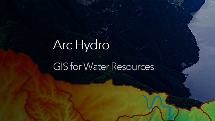
Water Resources and Arc Hydro in the Esri Community

Terry Bills|
Autonomous Navigation as Transformative Technology
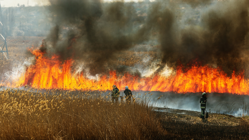
Only You Can Prevent Static Risk Accumulation

Patrick Huls|
Newly Released: Communications Data Management Solutions