Most recent
One Company, Two Utilities: Utility Network Assessment
TXNM combined PNM and TNMP GIS's using the ArcGIS Utility Network.
Planners Need to Quit Using Sticks & Start Using Carrots – First Step, Start with GIS
GIS Trends for Environmental Consulting
Nonprofit Technology Conference 2021 & GIS

Don’t merely act, choose your path wisely
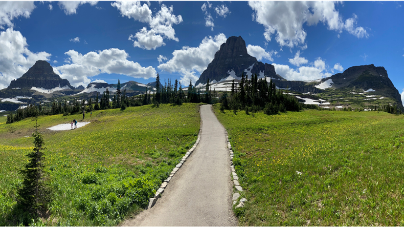
The Impacts of My Family (and Yours) Rushing the Outdoors & How GIS Helps Recreation Facilities Respond
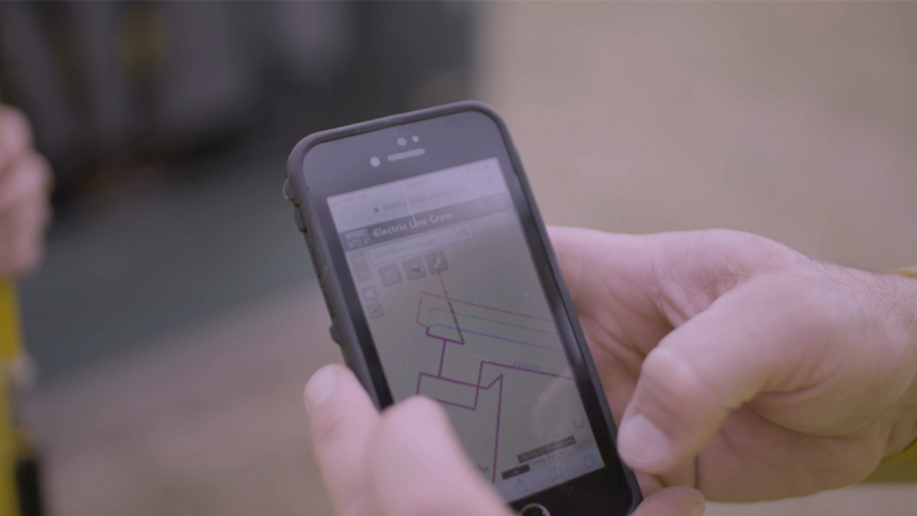
GIS Helps Utility Workers Do Their Jobs
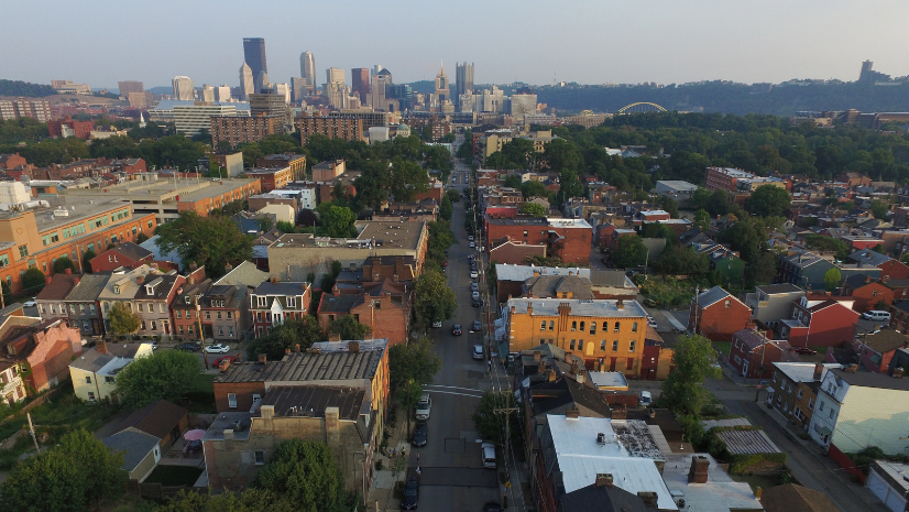
Why Increasing Accessibility is Fundamental to Building Equitable Practices in Financial Services

“Join the Rebel Alliance” - an Openscapes interview with Dr. Dawn Wright at MozFest

Ricklyn Hukriede|
Emerging Trends at the DGI 2021 Conference
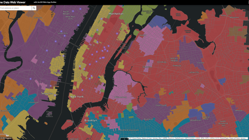
Patrick Fowler|
Human Movement Data to Better Understand Changing Markets
Address Data Management for the PSAP