Community growth analysis requires both authoritative data and tools for analysis, scenario planning, and stakeholder engagement. Organizations often need data from multiple sources, including city, county, regional, and state agencies.
Common datasets include:
- Building footprints and parcel data
- Transportation networks
- Water, sewer, gas, and electric infrastructure
- Current and future land-use plans
- Housing and demographic data
- Workforce and economic information
In ArcGIS, communities commonly use:
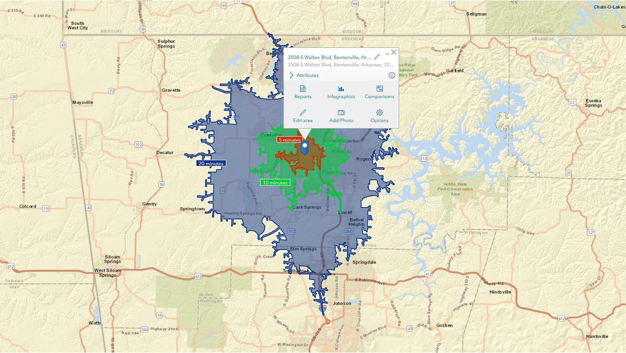
- ArcGIS Business Analyst Web App to analyze demographics, housing trends, and workforce development needs
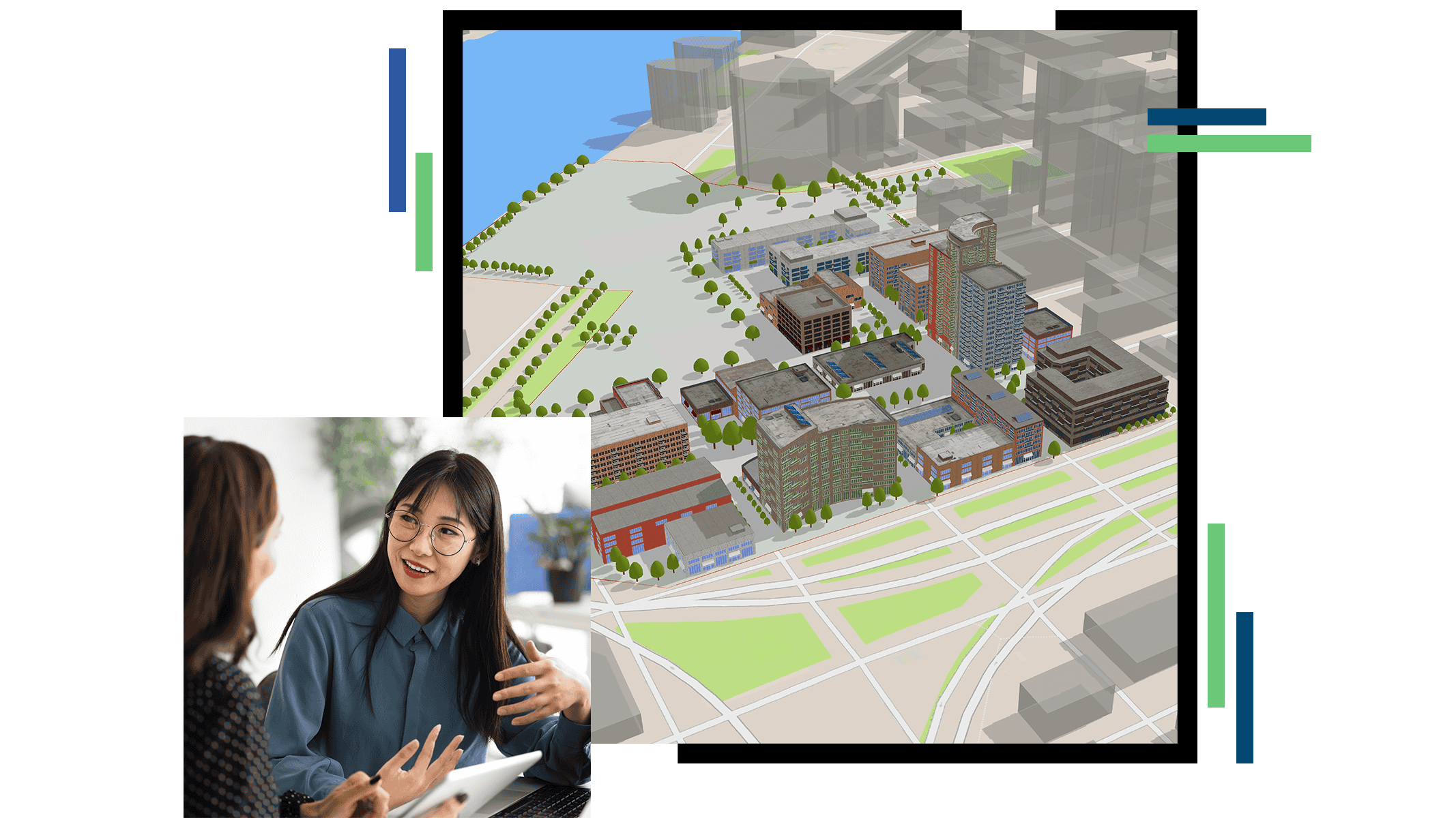
- ArcGIS Urban to model growth scenarios, evaluate development alternatives, and support economic development planning
- ArcGIS Solutions to accelerate common planning and analysis workflows
To communicate findings and build support for a development strategy, organizations can use:
- ArcGIS StoryMaps to explain plans and policy proposals
- ArcGIS Experience Builder to create interactive planning experiences
- ArcGIS Dashboards to monitor performance measures and community indicators
- ArcGIS Hub to engage residents and stakeholders
Together, these technologies help local governments create long-term data-driven economic development strategies.