Navigating your GIS journey
The GIS Resource Center for emergency management includes how-to guides, tips for emergency management practitioners, products and solutions, and articles to help expand your GIS experience.

The GIS Resource Center for emergency management includes how-to guides, tips for emergency management practitioners, products and solutions, and articles to help expand your GIS experience.

Whether you are new to GIS or a seasoned expert, these resources are designed to help expand your use of GIS in emergency management. Select your level of GIS experience below.
If you're just starting your GIS journey, these resources will help you implement GIS and the geographic approach in your emergency management program.
Quickly access ArcGIS throughout an emergency
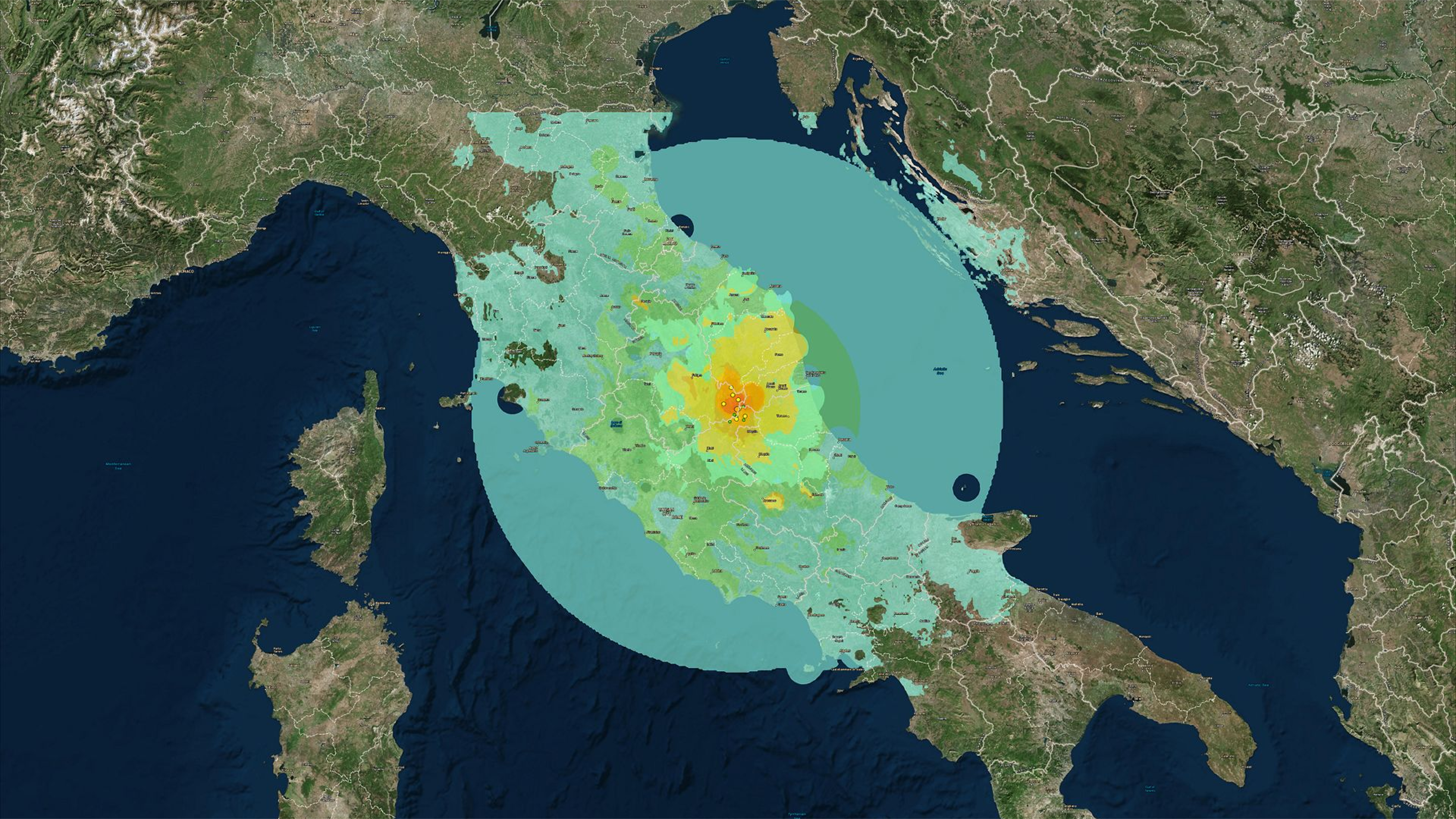
Getting started with Esri training

Grant programs to fund GIS initiatives
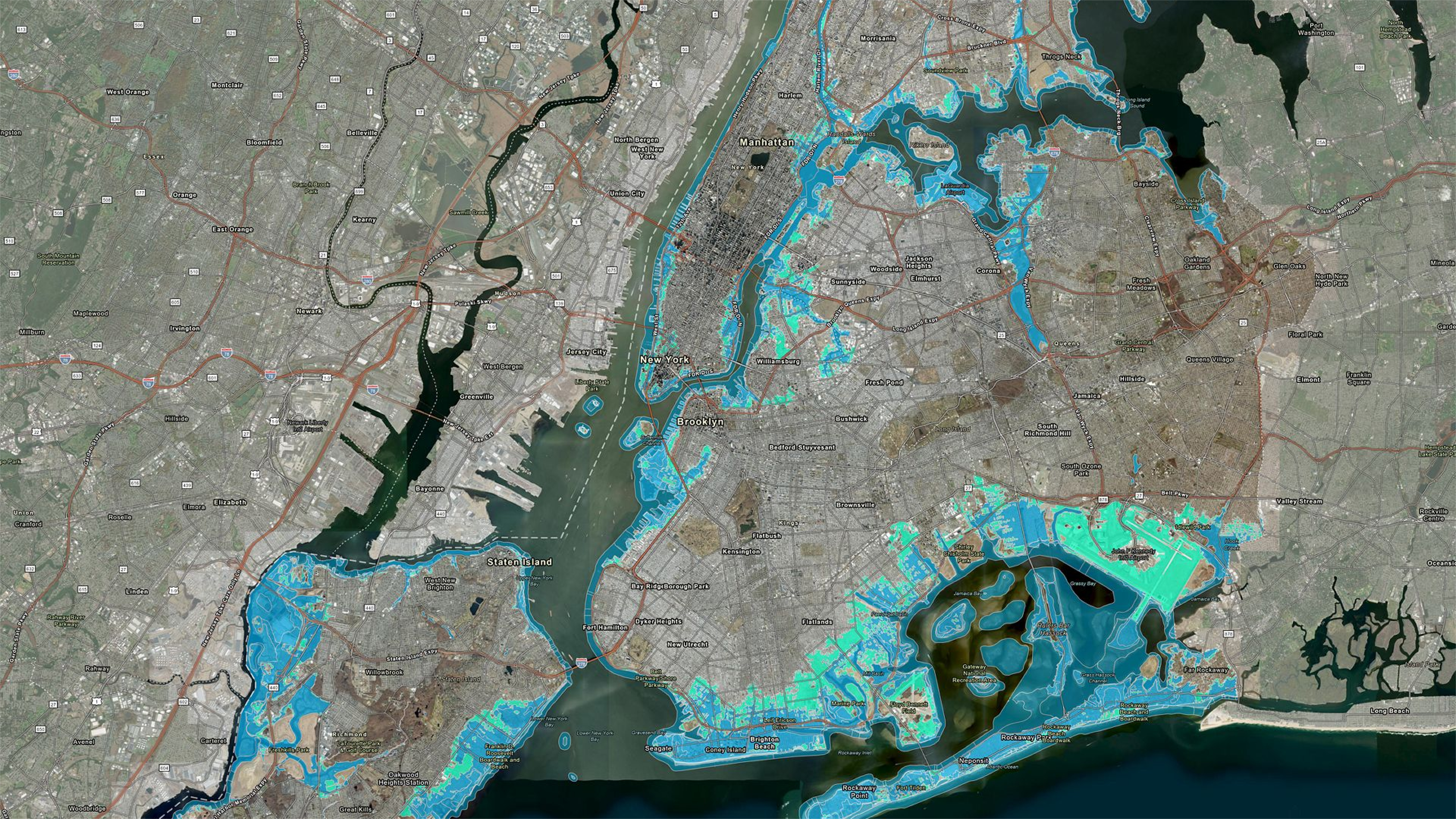
How to access ArcGIS licenses

Requesting access from a partner organization
If you're already familiar with the power of GIS, these resources will help you understand your risks, assess your vulnerabilities, and build resilience with tools to help you progress with ArcGIS.
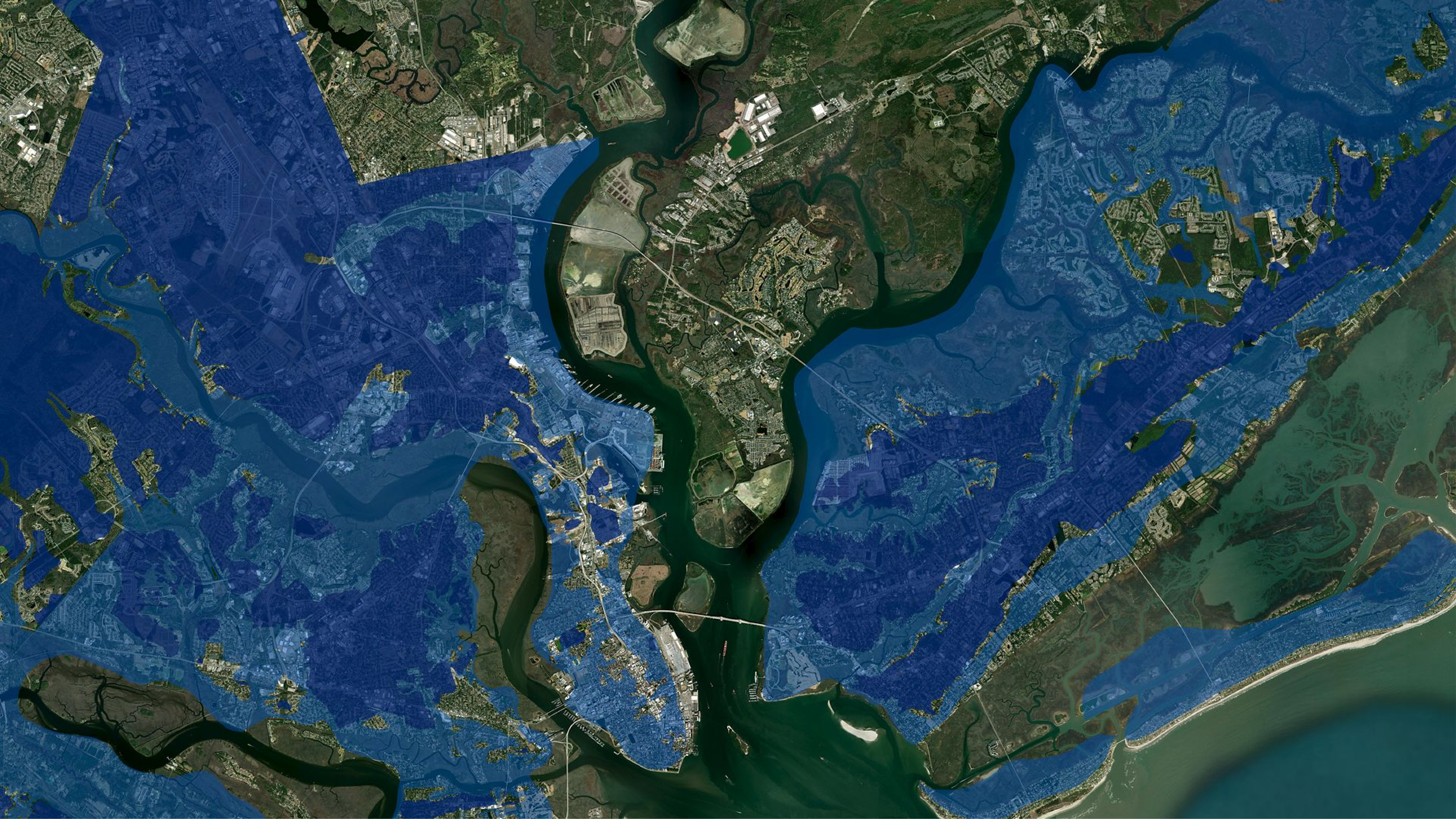
ArcGIS Living Atlas of the World

FEMA Geospatial Resource Center
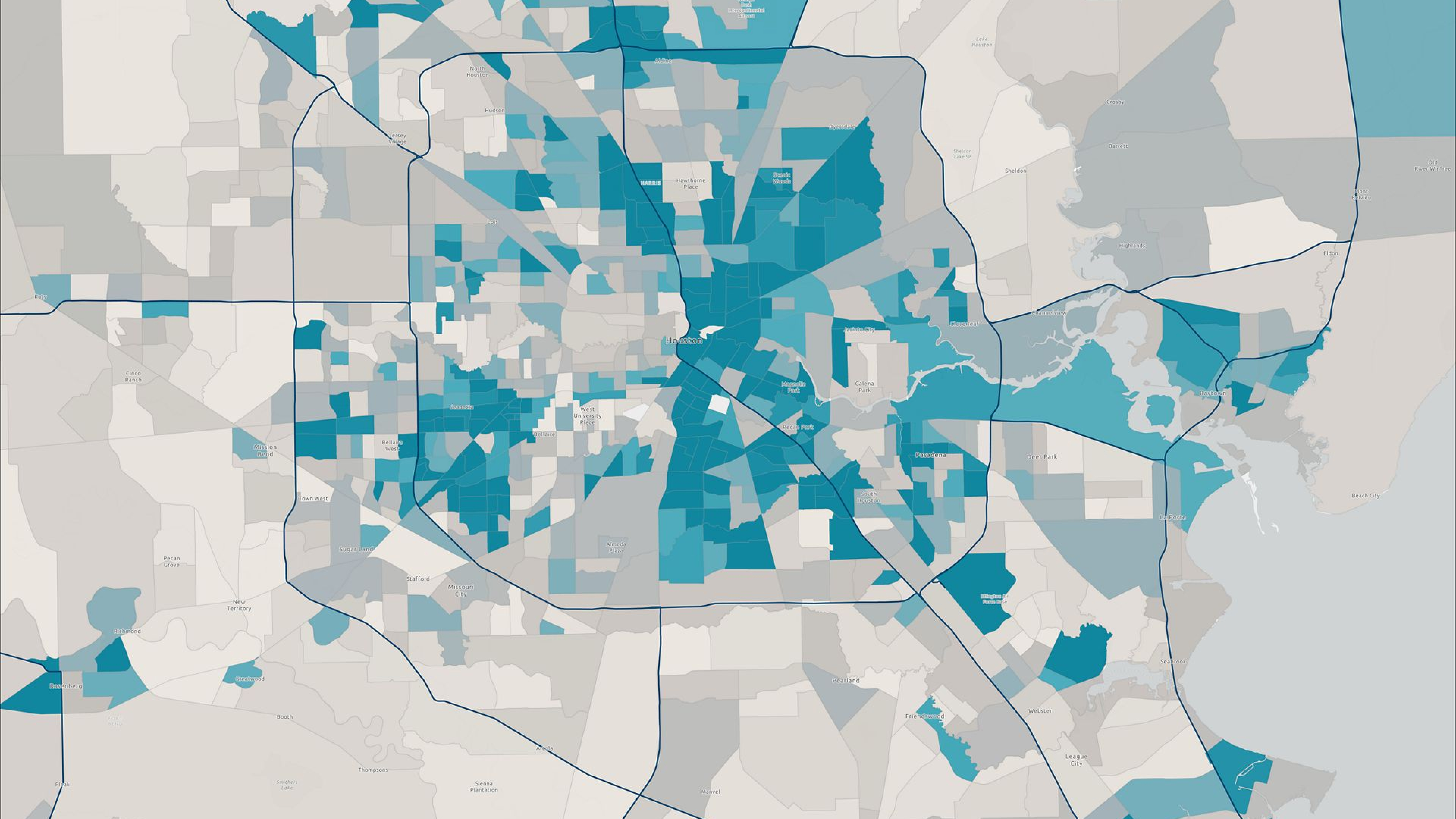
FEMA’s Resilience Analysis and Planning Tool

Trainings to elevate your GIS capabilities

Grant programs to fund GIS initiatives
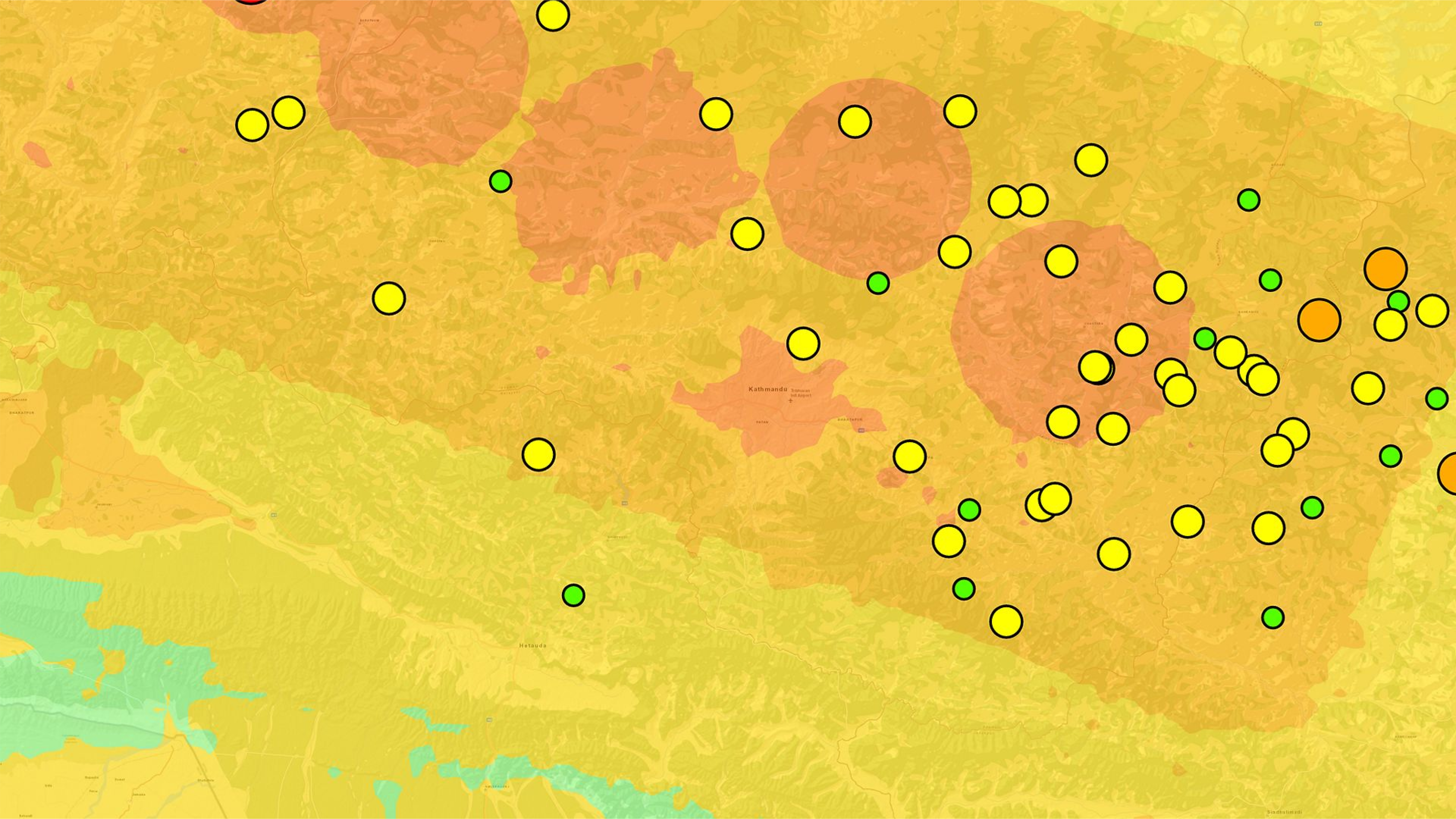
Using ArcGIS as a force multiplier
Dive into technical resources that require GIS expertise. Access ready-to-deploy emergency management solutions.
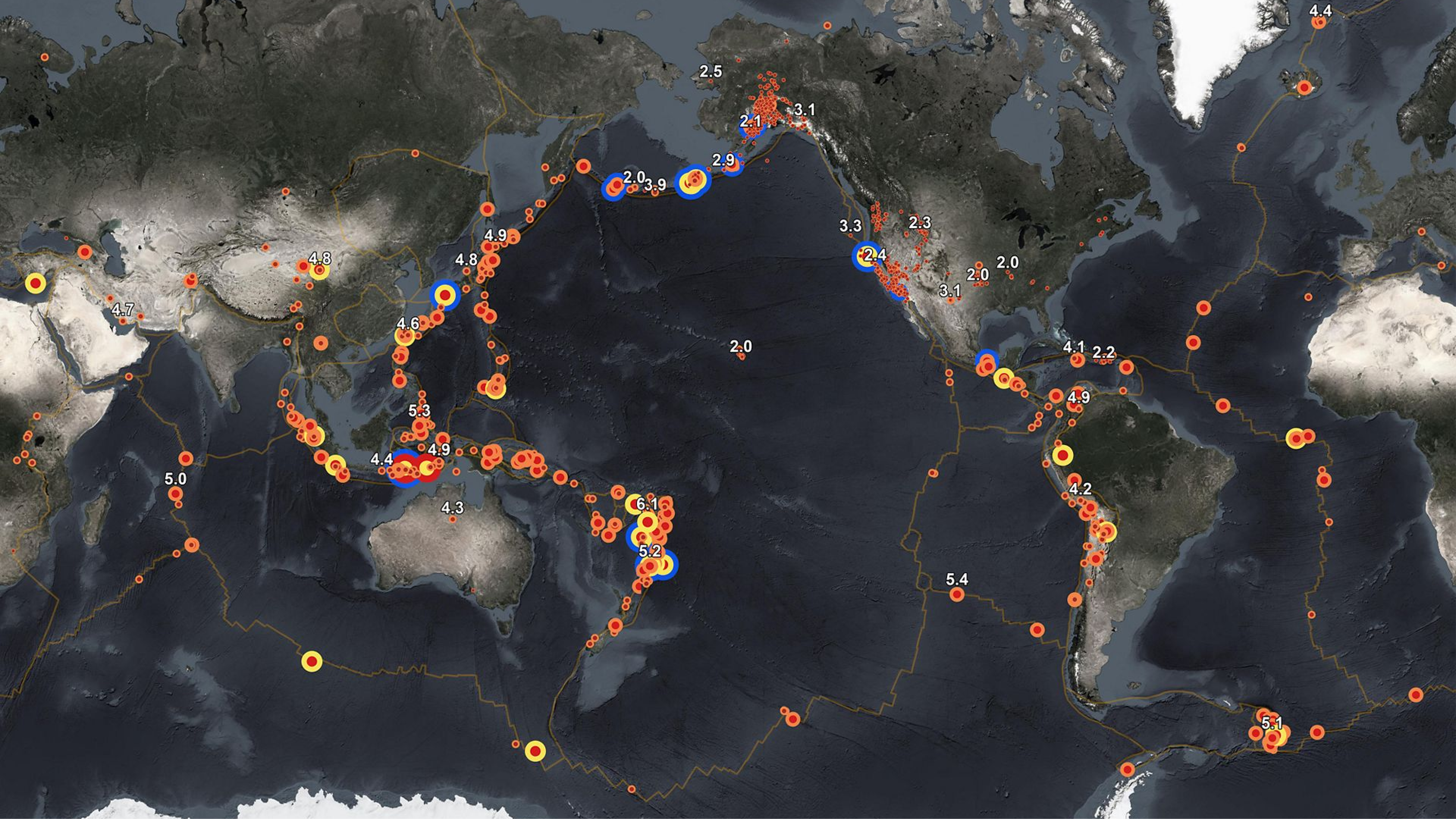
Selecting an ArcGIS product or solution

Apply GIS across your emergency management program

ArcGIS Living Atlas of the World

FEMA’s Resilience Analysis and Planning Tool
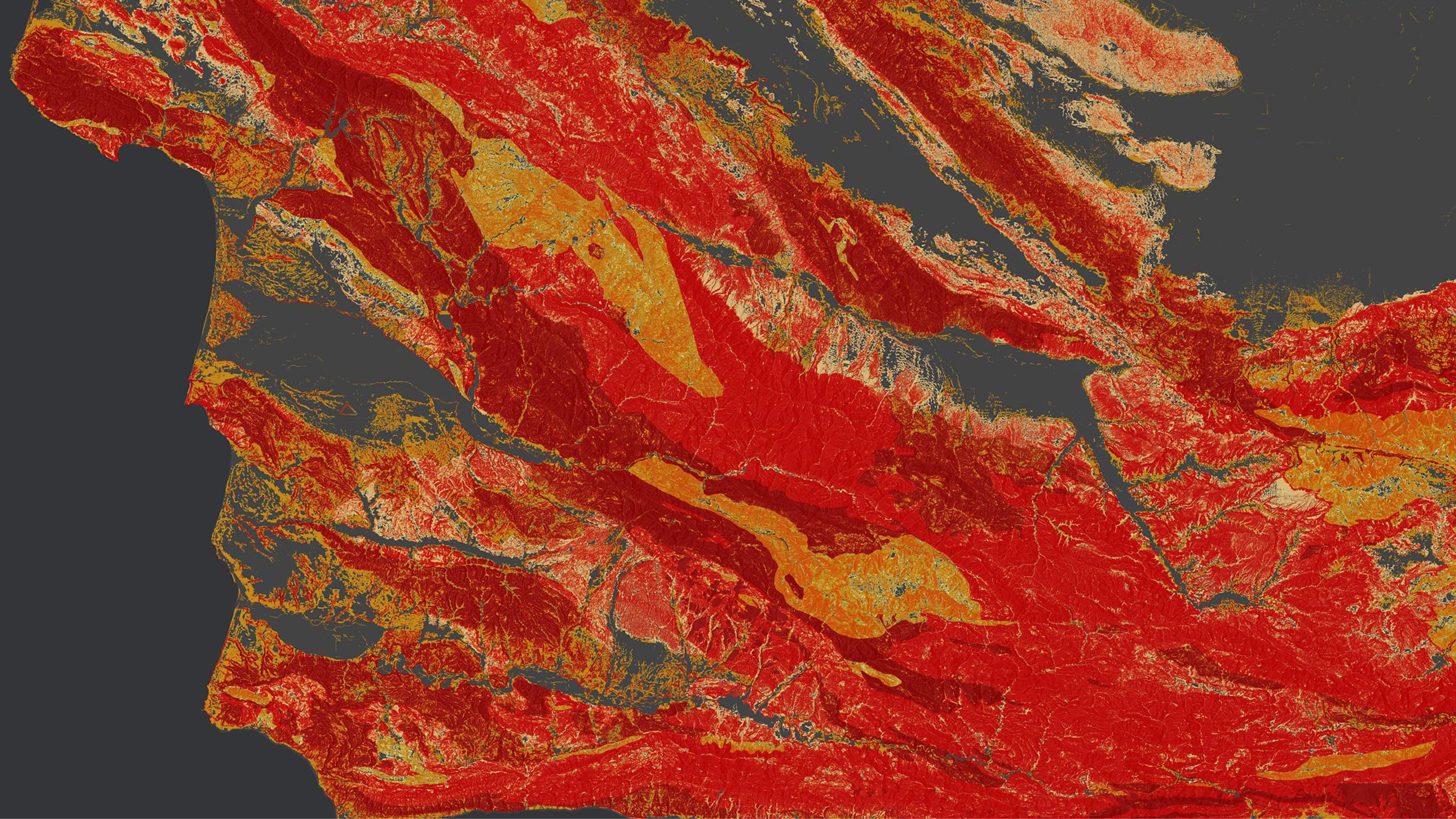
Esri Emergency Management Operations solution

Esri’s Watch Center solution
Fill out the form and Esri’s account management team will get back to you.