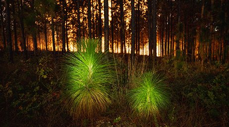
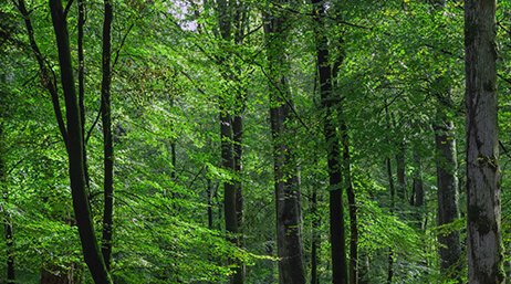
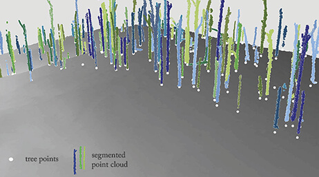
Digital twin enhances longleaf pine restoration
Learn how GIS technology is critical for managing longleaf pine ecosystems, from planning prescribed fires to monitoring ecosystem health.
Explore resources for forestry organizations and connect with industry experts
A packaging and pulp company developed a new tool for supply chain visibility called ForSite, a combination of satellite imagery, location-specific data, and GIS technology.

Digital twin enhances longleaf pine restoration

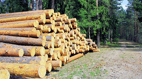
Forestry and mapping support a changing industry

Safeguarding white oak with GIS-enabled app

Mapping trees helped an urban forest thrive

Imagery brings precision agriculture to forestry
Mill takes guesswork out of operations
USDA Forest Service: Stewarding forests

Streamlining logistics: Log truck routing
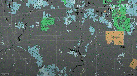
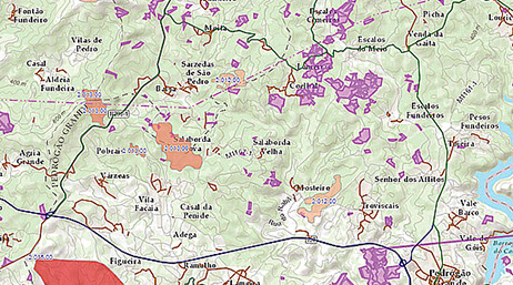
Hub builds collaboration for forest plan
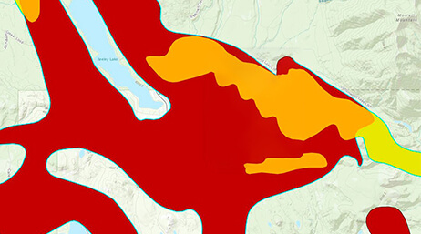
Field operations for environmental compliance
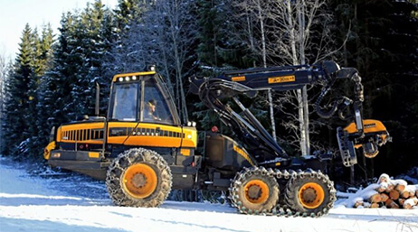
AI enhances forest sustainability in Finland
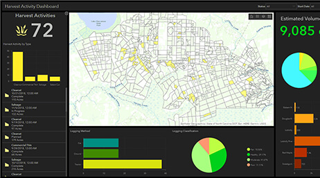
Manage forest harvest and chemical activities
Enterprise GIS reduces paper workflows
Turning adversity into opportunity
Strategies for sustainable forest management
Join the geospatial conversation, ask questions, or browse the forums.

Esri User Conference | July 14–18, 2025 | San Diego Convention Center | San Diego, California

Instructor-led and self-paced options are available to help individuals apply best practices and quickly learn ArcGIS software. Esri training consultants provide complimentary planning services to identify options that will best meet an organization's immediate, short-term, and long-term workforce training needs.

Speak with a representative.