Skip to Content

Spatial Thinking Student Competition

2022–2023

Sponsored by the International Statistical Institute (ISI) and Esri

The contest is now closed

Stay tuned for the 2022-2023 winners

previous
Next

Processes and deadlines

The Spatial Thinking Student Competition is now accepting applications. Apply by April 1, 2023, to participate. All applicants must submit their proposed title and abstract for consideration.

Entry topics may include statistics and data science or focus on areas of the economy, society, and the environment. We especially encourage submissions around the topics of urban planning, sustainable development, health, and disasters of all kinds. Enter the contest for a chance to win and be recognized for your GIS, spatial analysis, and storytelling skills.

All applications will be reviewed during the selection period of April 1–10, 2023, when the top 24 will be selected to submit their final projects. Participants will have until May 30, 2023, to submit their final project for judging.
Prizes

Prizes will be awarded for first place in each of the three categories:

  • Data Science: Scientific research and analysis with GIS and statistics
  • Spatial Thinking: Use of geospatial tools for spatial analysis and modeling
  • Communication: Celebrate your work and convey your StatsStory with maps

Winners will receive US$500, a one-year ArcGIS personal use license, and a full membership to ISI until December 31, 2024.

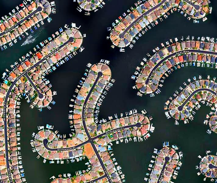
Aerial image of a series of homes and docks on water

Timeline

September 1, 2022: Application submission opens to compete in the Spatial Thinking Student Competition.

March 1, 2023: Application submission to participate closes.

March 10, 2023: Selected participants will be invited to compete in the international judging and presentation at ISI World Statistics Congress.

May 30, 2023: Deadline for final entry submission

July 16–20, 2023: Presentation at ISI World Statistics Congress and winners announced

Satellite image of snow-covered land meeting water inlets

Competition rules

  • Each application needs to include a title and short abstract (1,000-word limit) as to what the submission will illustrate.
  • All submissions should be in ArcGIS StoryMaps format.
  • All submissions must be in the English Language.
  • Applicants must be enrolled as full-time students at a college or university.
  • Entry topics may include statistics and data science or focus on areas of the economy, society, and the environment. We especially encourage submissions around the topics of urban planning, sustainable development, health, and disasters of all kinds.
  • All entries will be submitted to an international panel for review and selection.  A maximum of 24 entries will be accepted for final judging.
  • All entries must be the original work of the applicants.
  • Licenses of ArcGIS will be donated to the selected applicants to use in the competition (up to 24 in total) for the duration of the competition.  
  • By entering, applicants agree to the official rules and terms of agreement.

About ISI

The International Statistical Institute (ISI), https://www.isi-web.org, is an international society whose mission is to lead, support, and promote the understanding, development, and good practice of statistics worldwide by providing the core global network for statistics.  This is reflected in its slogan Statistical Science for a Better World. The ISI was established in 1885 and is one of the oldest scientific associations still active throughout the world. ISI, including its seven Associations, has over 4,000 individual members and more than 140 statistical agencies, central banks, universities, societies, and research institutes as organizational members. It supports statisticians and statistical organizations worldwide; organizes congresses, conferences, and workshops; and issues extensive publications, including a variety of journals. It also manages a range of awards, prizes, and funding schemes.